- Meesapulimala
-
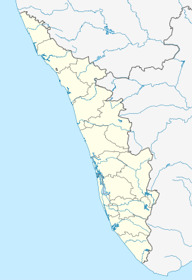
Meesapulimala Kerala, India Elevation 2,659 m (8,724 ft)
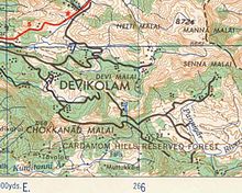
U.S.Army Map Service (LU), Corps of EngineersLocation Range Western Ghats Coordinates 10°05′51″N 77°12′12″E / 10.097403°N 77.203417°ECoordinates: 10°05′51″N 77°12′12″E / 10.097403°N 77.203417°E Meesapulimala is a peak in the Karimkulam (Silent valley) plateau in the High Ranges of Kerala. Standing at an elevation of 2659 m ( 8724 feet), it is the second highest peak in the Western Ghats.[1]
Alternate heights given are 2637m and 2640m. The signboard on the way to the peak reads 2637 metres while the U.S. Army toposheet lists a height of 8661 feet for the peak named Mannamalai. ????Citations
- ^ Template:Toposheet prepared by the Army Map Service (LU), Corps of Engineers, U.S. Army, Washington D.C.. compiled in 1954
Categories:- Western Ghats
- Geography of Kerala
- Mountains of Kerala
Wikimedia Foundation. 2010.


