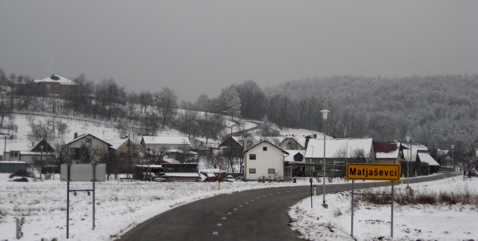
Matjaševci

Matjaševci
Matjaševci
Szentmátyás
Matjaševci is located in Slovenia
Matjaševci
Location in Slovenia
Coordinates: 46°50′50.27″N 16°5′44.03″E / 46.8472972°N 16.0955639°E / 46.8472972; 16.0955639Coordinates: 46°50′50.27″N 16°5′44.03″E / 46.8472972°N 16.0955639°E / 46.8472972; 16.0955639
Country Flag of Slovenia.svg Slovenia
Traditional region Prekmurje
Statistical region Pomurska
Municipality Kuzma
Area
 – Total 3.4 km2 (1.3 sq mi)
Elevation 271.2 m (890 ft)
Population (2002)
 – Total 203
[1]

Matjaševci (Hungarian: Szentmátyás) is a village in the Kuzma Municipality in the Prekmurje region of Slovenia.[2]

References

External links


Wikimedia Foundation. 2010.

Игры ⚽ Поможем написать курсовую

Look at other dictionaries:

  • Matjaševci — (ung. Szentmátyás) ist ein Dorf und ein Ortsteil der Gemeinde Kuzma in Slowenien. Inhaltsverzeichnis 1 Geografie 2 Geschichte 3 Literatur 4 Weblinks …   Deutsch Wikipedia

  • SI-056 — Slowenien, Kuzma farblich hervorgehoben Kuzma ist eine Gemeinde und eine Ortschaft in Goričko, dem hügeligen Teil der historischen Region Prekmurje in Slowenien. Geografie Die Kommune nimmt den nordwestlichen Bereich des Hügel und Grabenlandes… …   Deutsch Wikipedia

  • Kuzma — Kuzma …   Deutsch Wikipedia

  • Hungarian exonyms (Prekmurje, Slovenia) — The following is a list of Hungarian place names for towns and villages in the Prekmurje region of Slovenia. The hungarian administration in the 19th century few village name was change, mainly old hungarian names (Alsószlavecsa, Mladetincz,… …   Wikipedia

  • Kuzma (Slovénie) — 46° 50′ 00″ N 16° 05′ 00″ E / 46.8333, 16.0833 …   Wikipédia en Français

  • Dolič, Kuzma — Dolič Völgyköz …   Wikipedia

  • Gornji Slaveči — Gornji Slaveči …   Wikipedia

Share the article and excerpts

Direct link
Do a right-click on the link above
and select “Copy Link”