- Manthali, Janakpur
-
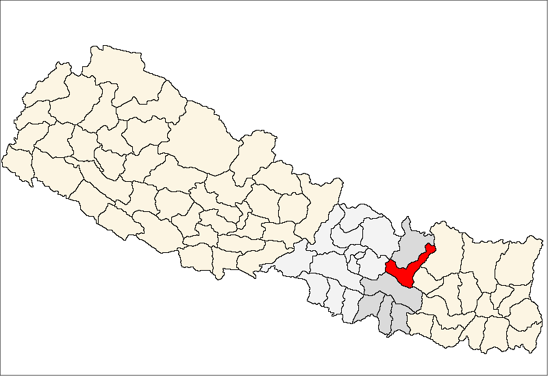
Manthali — Village development committee — Location in Nepal
 Manthali
Coordinates: 27°23′N 86°04′E / 27.38°N 86.07°ECoordinates: 27°23′N 86°04′E / 27.38°N 86.07°E Country  Nepal
NepalZone Janakpur Zone District Ramechhap District Population (1991) - Total 3,097 Time zone Nepal Time (UTC+5:45) Manthali is a village development committee in Ramechhap District in the Janakpur Zone of north-eastern Nepal. At the time of the 1991 Nepal census it had a population of 3097 people living in 588 individual households.[1]
References
- ^ "Nepal Census 2001", Nepal's Village Development Committees (Digital Himalaya), http://www.digitalhimalaya.com/collections/nepalcensus/form.php?selection=1, retrieved 15 November 2009.
External links
Bamti Bhandar, Betali, Bethan, Bhadaure, Bhatauli, Bhirpani, Bhujee, Bijulikot, Chanakhu, Chisapani, Chuchure, Dadhuwa, Daragaun, Deurali, Dhyaurali, Dimipokhari, Doramba, Duragau, Farpu, Gelu, Goswara, Gothgau, Gumdel, Gunsi Bhadaure, Guptesor, Hiledevi, Himganga, Kathjor, Khandadevi, Khaniyapani, Khimti, Kubukasthali, Lakhanpur, Majuwa, Makadum, Maluwajor, Manthali, Naga Daha, Namadi, Okhreni, Pakarbas, Pharpu, Phulasi, Piukhuri, Pritee, Puranagau, Rakathum, Rampur, Rasanalu, Saibu, Salupati, Sanghutar, Sukajor, Sunarpani, Those, Tilpung, Tokarpur, Wapti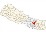
tilak nepali from ktm i live in manthali bazzar ok
Categories:- Populated places in Ramechhap District
- Janakpur Zone geography stubs

Wikimedia Foundation. 2010.