- Mampata
-
Mampata — Village — Location in Guinea-Bissau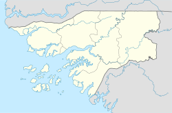
 Mampata
Coordinates: 11°38′11″N 14°41′15″W / 11.63639°N 14.6875°WCoordinates: 11°38′11″N 14°41′15″W / 11.63639°N 14.6875°W Country  Guinea-Bissau
Region Bafatá Region Sector Xitole Time zone GMT (UTC+0) Mampata is a large village in the Bafatá Region of central Guinea-Bissau. It lies near the northern bank of the Corubal River, southwest of Chumael.[1][2]
There is another village named Mampata several kikometres to the southwest, to the west of Quebo.
References
- ^ Google. Google Maps (Map).
- ^ Microsoft and Harris Corporation Earthstar Geographics LLC. Bing Maps (Map).
Categories:- Populated places in Guinea-Bissau
- Bafatá Region
- Guinea-Bissau geography stubs

Wikimedia Foundation. 2010.