- Drukken Steps
-
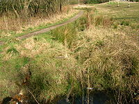
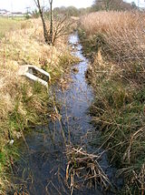
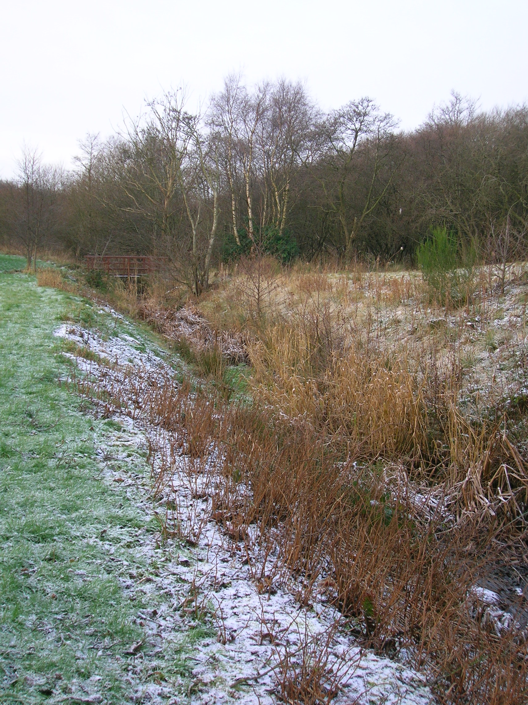
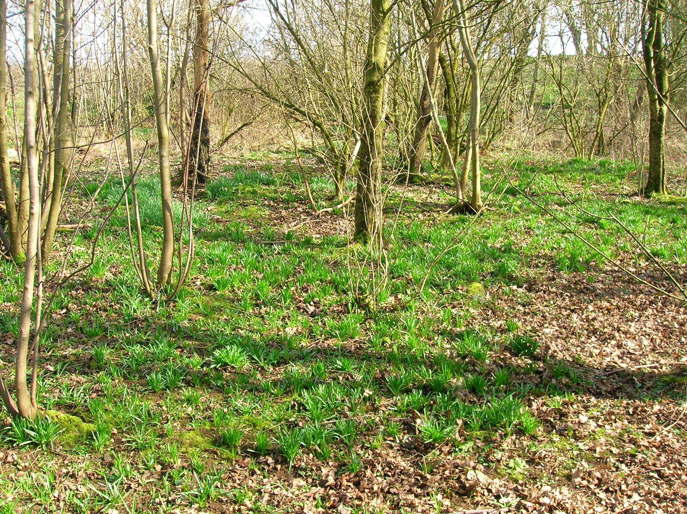
 The site of the Drukken Steps over the Red Burn on the 1774 Toll road to Millburn via Higgens House[1]
The Drukken or Drucken Steps were stepping stones across the Red Burn in Irvine, North Ayrshire, Scotland and are associated with Scotland's national poet, Robert Burns. Drucken is the more accurate spelling, although Drukken is used on the commemorative cairn.[2]
The site of the Drukken Steps
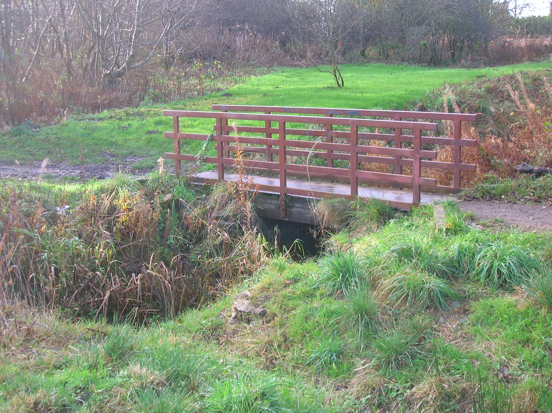
 The 1960s bridge abutment at the site of the old Drukken Steps of circa 1966 with the old Toll Road route in the background
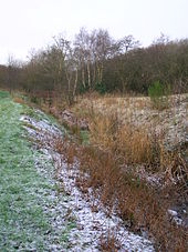 The site of the Drukken Steps.
The Drukken Steps in the old Eglinton Woods near Stanecastle at NS 329 404, was a favourite haunt of Burns and his friend Richard Brown whilst the two were in Irvine in 1781 - 82. A commemorative cairn off Bank Street at MacKinnon Terrace in Irvine, next to the expressway, stands several hundred yards from the site of the Drukken stepping stones across the Red Burn, also said to be the site of Saint Bryde's well, until recently thought to have been buried beneath the road surface of the Kilwinning bypass.[3]
In 1799 the Earl closed the road beyond the Drukken steps to 'protect' his new policies, providing a new road instead which ran via Knadgerhill.[4]
Origin of the name
The name 'Drukken' steps derives from a person's gait as they stepped from stone to stone whilst crossing the burn. Seven or more stones were originally set in the Red Burn which was much wider than now (2009).[5] Burns himself used the Scots spelling 'Drucken' rather than 'Drukken'.[6]
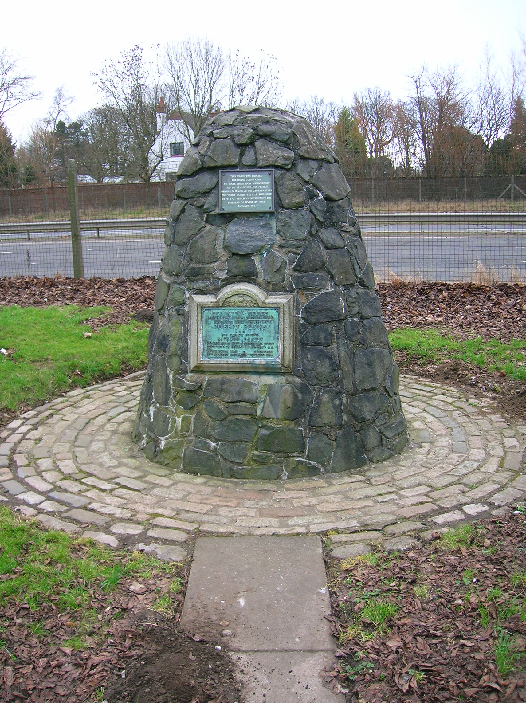
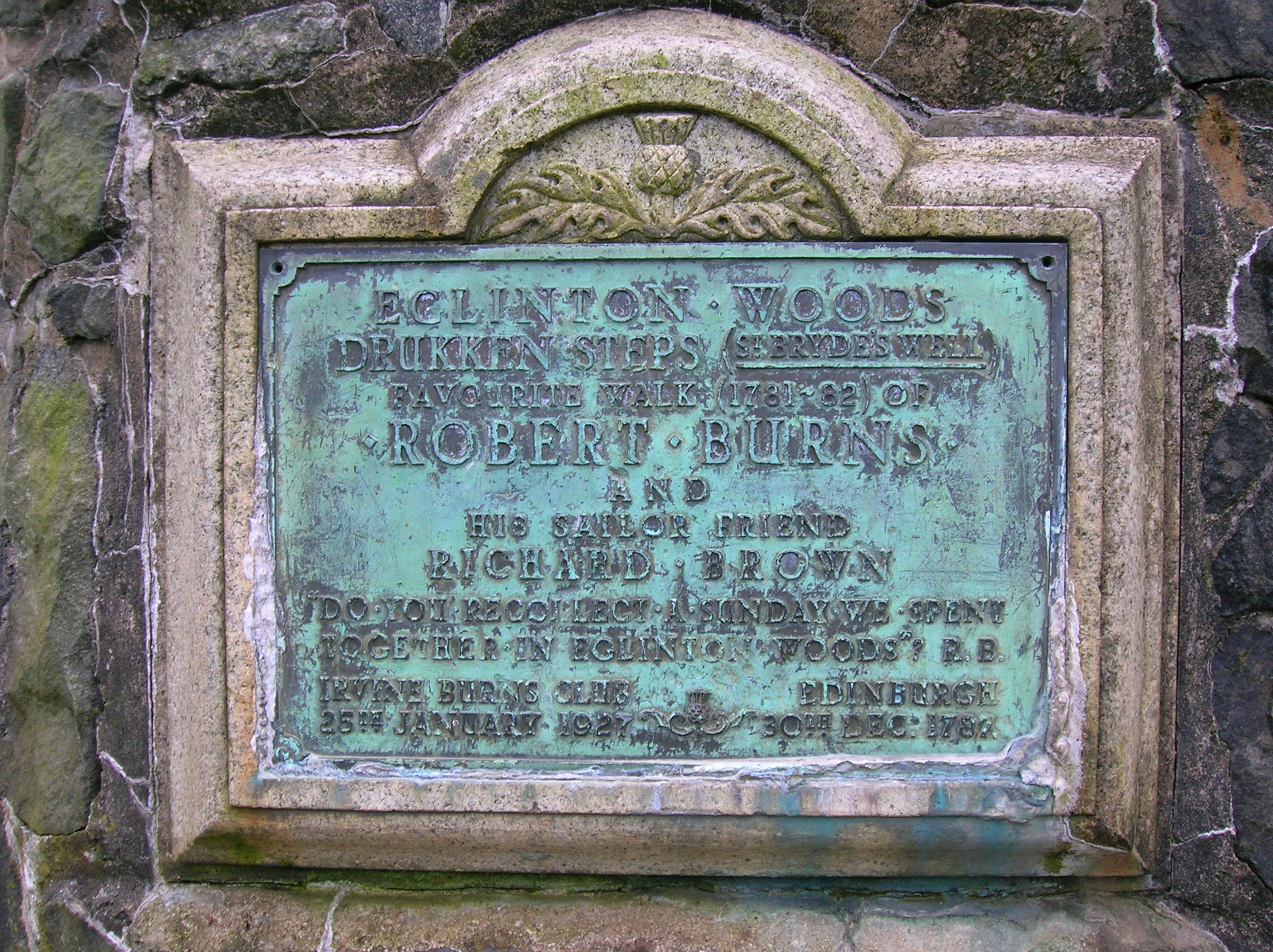
The commemorative cairn

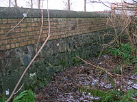
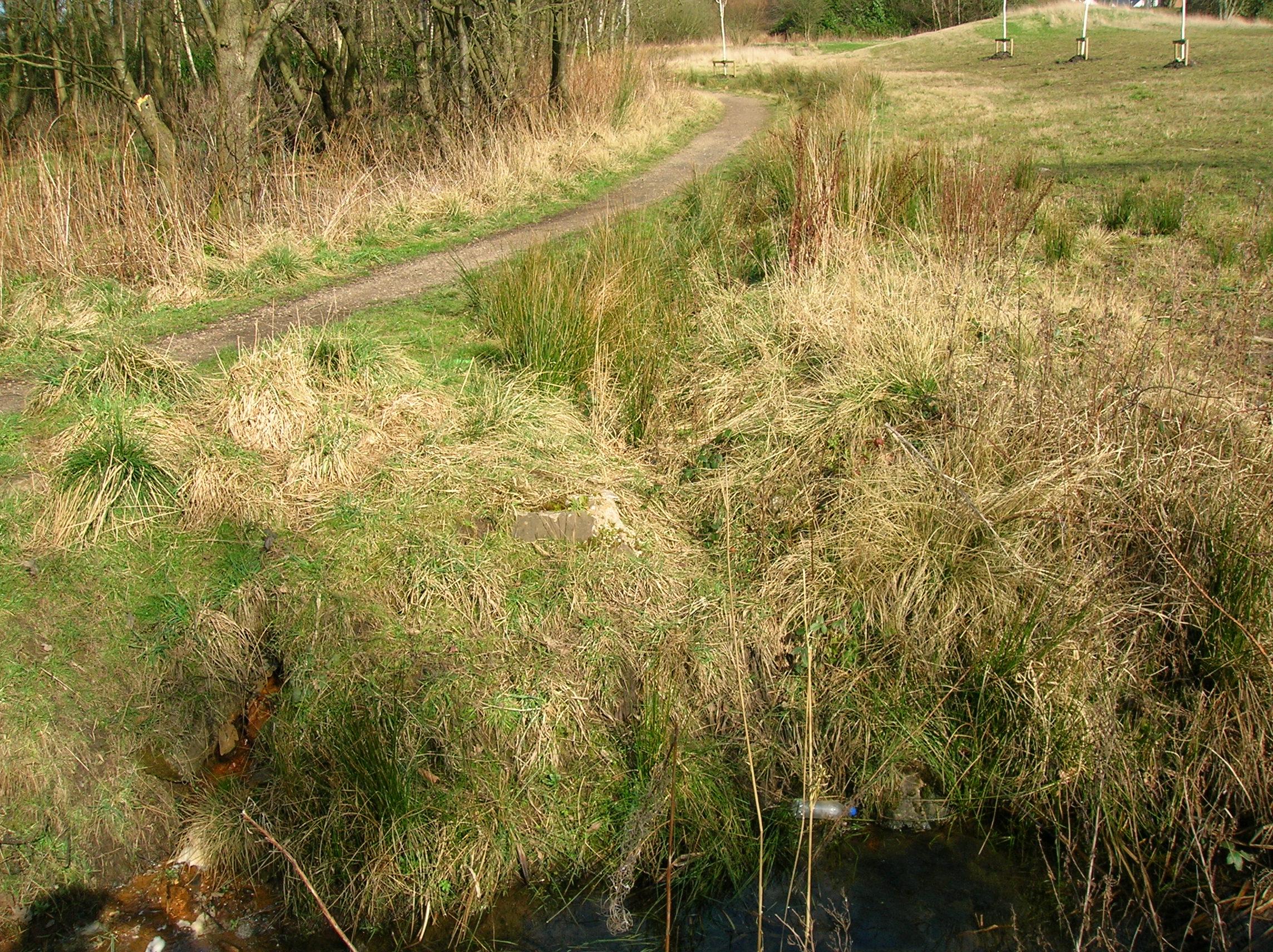
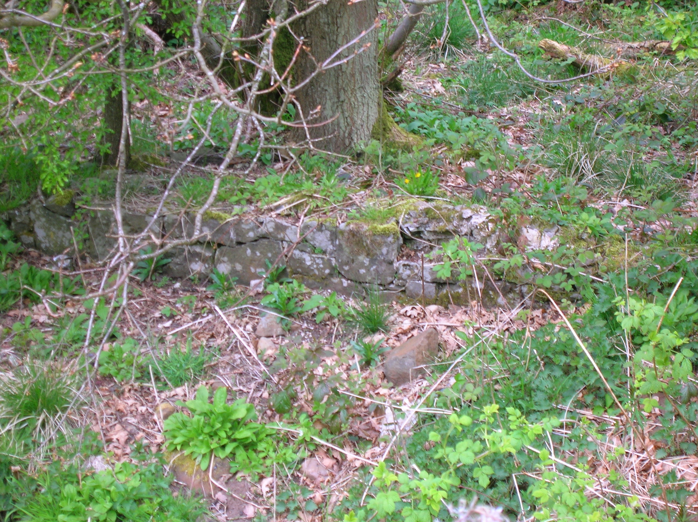
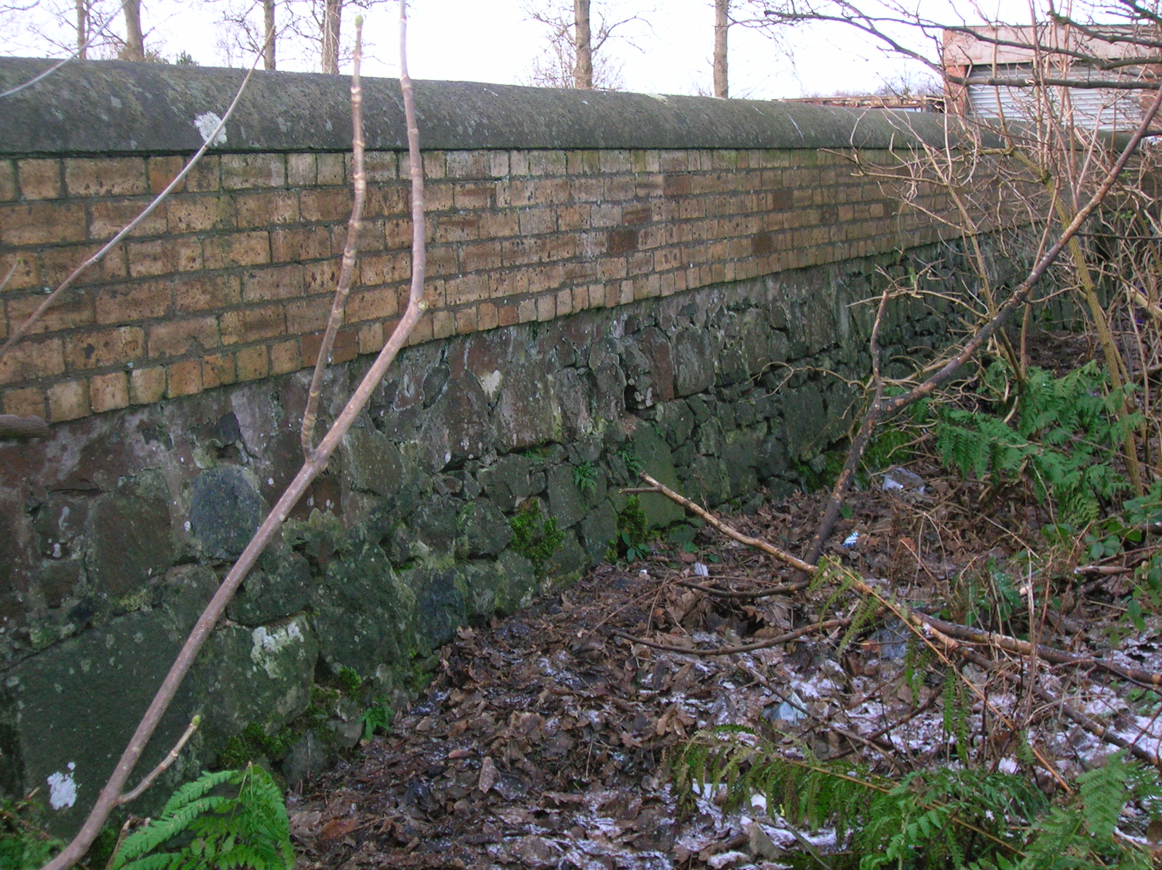
 The old estate wall foundations at the Drukken Steps
The lower inscription (1927) on the commemorative cairn states:
Eglinton Woods, Drukken Steps (St Bryde's Well), Favourite Walk (1781–82) of Robert Burns and his sailor friend Richard Brown. "Do you recollect a Sunday we spent together in Eglinton Woods? R.B." 30th Dec., 1787. Irvine Burns Club, 25 January 1927.
The upper inscription (1976) reads:
This cairn was erected for Irvine Burns Club to mark their 150th anniversary and to re-locate the plaque originally placed at the Drukken Steps (Drunken) / Saint Bride's Well.[8] 700 yards north west of this spot by W & C French (Construction) Ltd, builders of Irvine by-pass, January 1976.
Steps Road in Irvine commemorates the Drukken steps.[7]
The stepping stones and the toll road
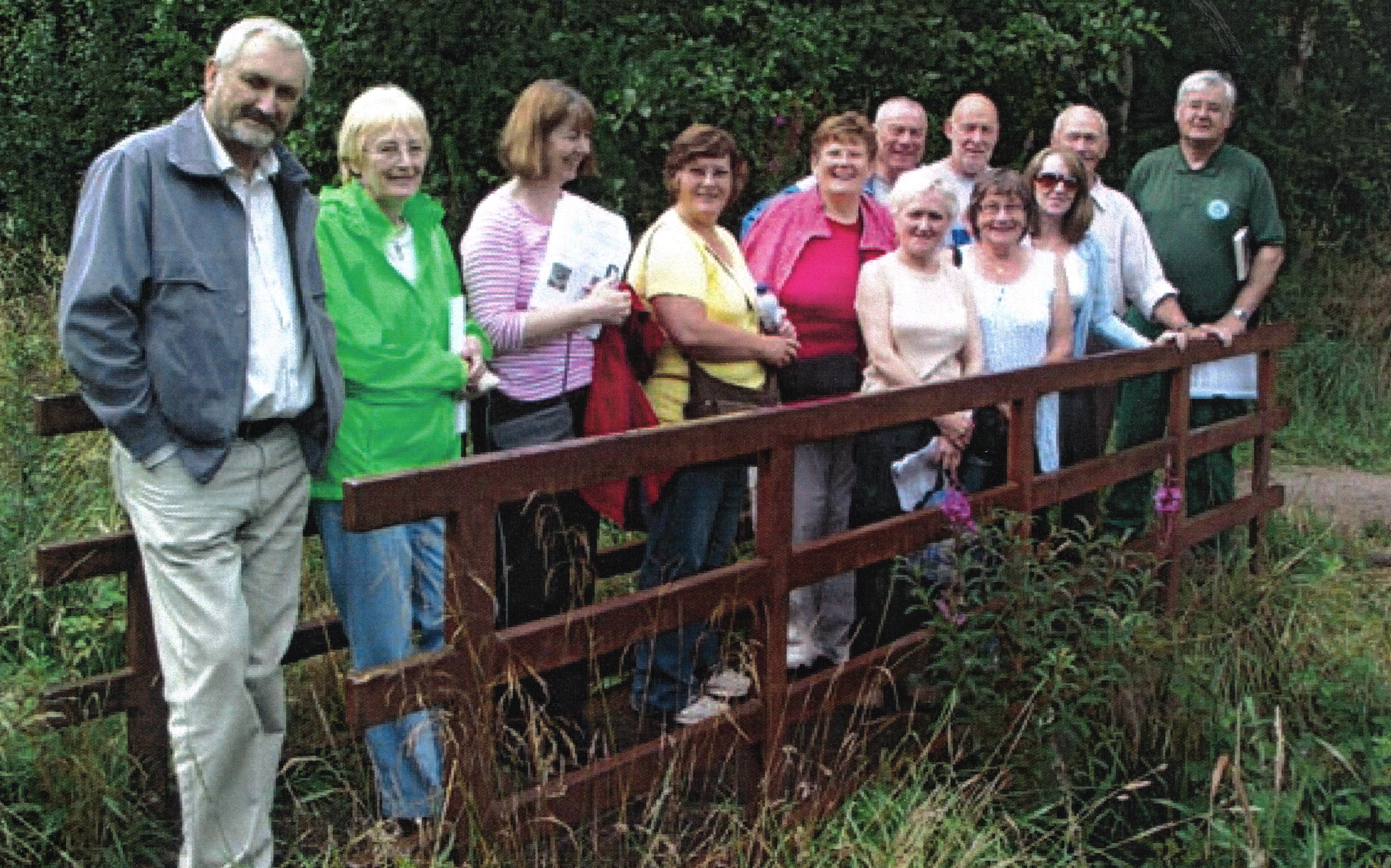
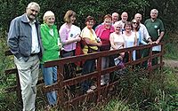 The Drukken Steps with an event run by the Irvine Burns Club. Photographed by Bill Nolan.
 The commemorative plaque on the Drukken Cairn as first unveiled by Sir Andrew Duncan, Irvine Burns Club President.[9]
The Drukken Steps therefore were stepping stones on the course of an old Road, later a Toll Road (1774), which ran from the west end of Irvine through the Eglinton policies to Kilwinning via Milnburn (sic) or Millburn;[10] crossing the Red burn near Knadgerhill (previously Knadgar and pronounced 'Nygerhill'[5] as in the country.[11]) and running passed 'The Higgins' cottage, the 'Hygenhouse' of 1774,[10] now demolished.55°37.902′N 004°39.355′W / 55.6317°N 4.655917°W The Eglinton estate wall used to cut across the burn and join up with the perimeter wall of the cemetery. The remains of this wall can still be seen at the site of the stepping stones and it was to this wall that the original commemmorative plaque had been attached. No gate or door existed here, entry being gained through a collapsed section. The nearby Knadgerhill Cemetery has one wall built from a continuation of this estate wall.
 Knadgerhill Cemetery wall, incorporating the estate wall.
Land in the vicinity of the Drukken Steps was locally known as the Spittal Meadow,[12] held in 1666 by the Laird of Corsbie and Robert Woodside[13] Spittal was a term chiefly applied to lands, the revenues of which supported a hospice but, in some instances, the reference maybe to the site of a hospice for the infirm, lepers, etc. This name is also recorded in a document dated 1542.[2][14] This could have formed part of the lands of the nunnery at Stanecastle which could have been the site of the spittal in question. Other spittals in Ayrshire were located in Ayr, Prestwick, Symington, Fail, Maybole, Mauchline, Stewarton and Kilmarnock.[2][15]
A Chapel of Saint Bridget (capelle sancte Brigide)[2] near Stanecastle is mentioned in 1417, however this seems to have been secularised by the early 17th century.[2] A secondary source makes reference to a chapel at the site of the Hill Cottage and it is indicated that the well at this site produced an abundance of water.[16] A Cruceford or Crossford was also located further down the Redburn on the Knights Templar lands of Redburn where the burn now crosses under the main road near Kidsneuk and Rood meadow. Roodmeadow was held by William Cuninghame and Robert Hamilton in 1666.[17] The term 'rood' may refer to the True Cross, the specific wooden cross used in Christ's crucifixion; the name 'Red' may also derive from this.[2]
Coal heughs were shallow pits and in 1686 they had been sunk at Doura and Armsheugh, the coal being taken down to Irvine via the Drukken steps or via Stanecastle.[18]
The association with Robert Burns
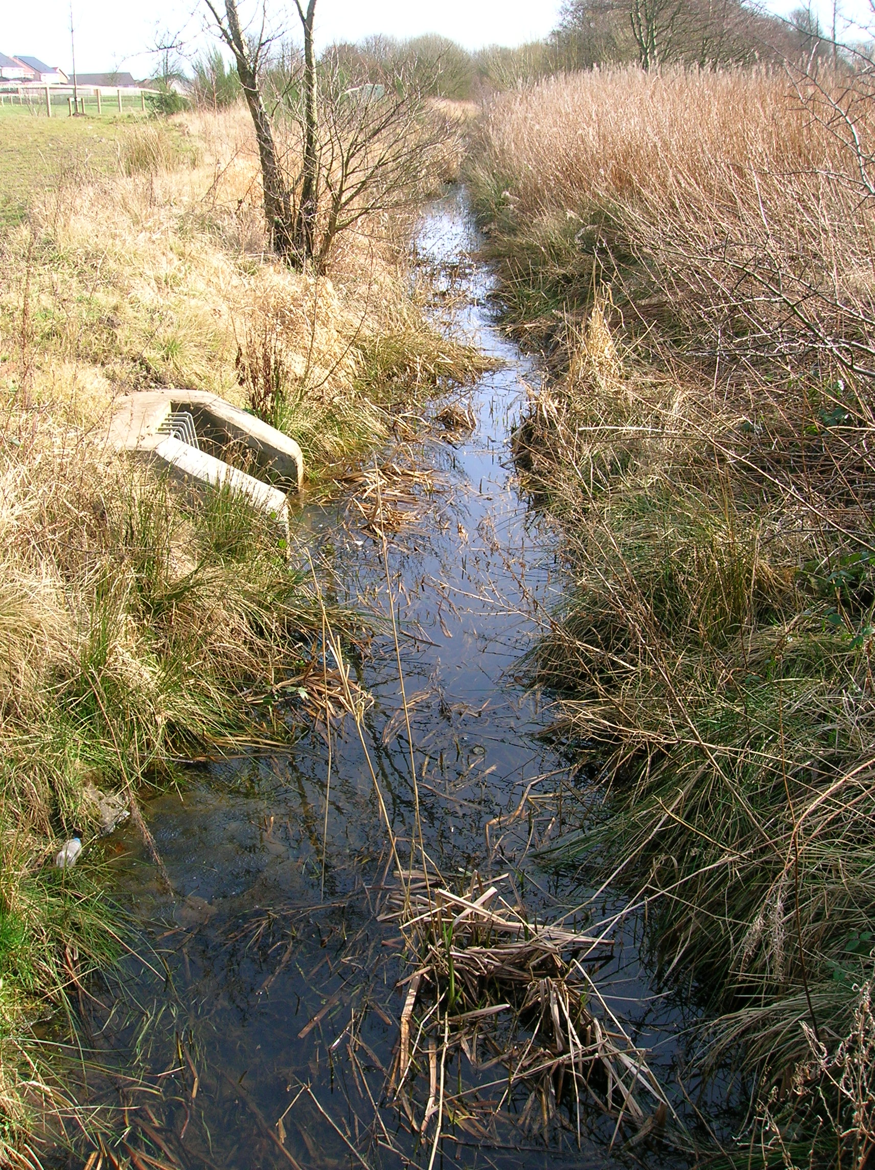
 The Red Burn from the Drukken Steps.
During the years 1781-82 Robert Burns lived in Irvine,[19][20] During this time he took regular walks into the Eglinton Woods via the old Irvine to Kilwinning toll road and the Drukken (Drunken)[8] Steps and back via the site of the old Saint Brides or Bryde's Well at Stanecastle.[21]
Robert Burns wrote to Richard Brown or Ritchie Broun (1753–1833), on December 30, 1787, saying ..do you remember a Sunday we spent together in Eglinton Woods? You told me, on my repeating some verses to you that you wondered I could resist the temptation of sending verses of such merit to a magazine.[22] Burns wrote the following to Brown, Twas actually this that gave me an idea of my own pieces which encouraged me to endeavour at the character of a Poet.[22][23]
The sites of the Drukken Steps and Saint Bride's well

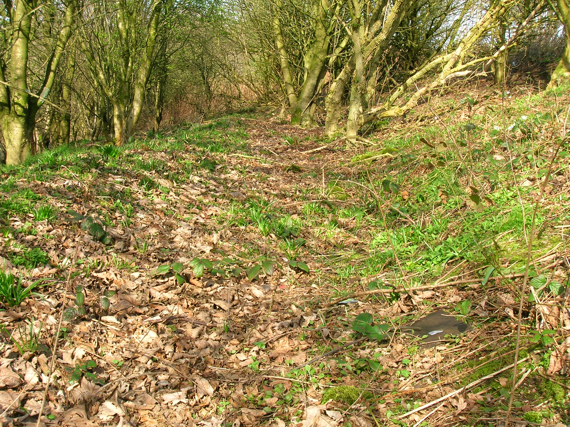
An old path in the Higgins Plantation 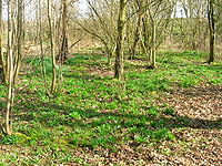 A view of the bluebell woodlands at Higgins Plantation
The site of the old toll road crossing of the Red Burn is still extant near the original Eglinton Estate's Long Drive[5] and the site of Saint Bride's well, now covered over, was at Stanecastle as is shown on the first edition of the OS map. The well site may even have been near the Annick Water.[24]
The commemorative cairn is not correct in its stated siting of the 'lost' Drukken Steps / Saint Bride's Well as the 1966 1:2500 map shows the Drukken Steps in a position that still exists and this is confirmed by local people.[5][25]
The reference to Saint Bride's Well at Stanecastle may reflect the poet and his companion's logical return journey via Millburn, Auchenwincie, Sourlie, Littlestane, Girdle Gate, Stanecastle and then back to the old Toll Road and into Irvine.
The Drukken Steps in poetry and music
The following is from the CD "In the Music" by The Trash Can Sinatras (2009)[26]
I Hung My Harp Upon The Willows
I hung my harp upon the willows
When I first made this harbour town
My broken heart by fair Eliza
Still fresh and raw when I came to townI learned a trade from Alexander
A scoundrel of the first degree
And within the year I was so despondent
The doctor fleeming well knew meOh Eglinton floating on the water
Oh Eglinton the rose was there for me
I hung my harp high upon the willows
Of Irvine town by the seaOn hogmanay I burned the work down
I found myself without a crown
Oh but I had more than any silver
Cos I had a friend in Richard BrownIn Eglinton wood we'd wander
On the Drukken Steps I would recite
Take your harp down from the willows
Said Richard Brown and he was rightOh Eglinton floating on the water
Oh Eglinton the rose is there for me
I Took my harp down from the willows
Richard Brown I bow to thee (x3)See also
- Eglinton Country Park
- Robert Burns
- Robert Burns and the Eglinton Estate
References
Notes
- ^ McClure, page 61
- ^ a b c d e f Strawhorn, page 31
- ^ Love, page 60.
- ^ Strawhorn, Page 95
- ^ a b c d King.
- ^ Scotch Drink
- ^ a b Strawhorn, Page 223
- ^ a b Scots Dictionary
- ^ Strawhorn, Page 191
- ^ a b McLure, page 53.
- ^ Irvine Herald.
- ^ Strawhorn, Map C6
- ^ Muniments,Page 188
- ^ Hall, Page 51
- ^ Online Dictionary.
- ^ Eglinton Archive, Eglinton Country Park
- ^ Muniment, Page 188
- ^ Strawhorn, Page 58
- ^ Dougall, page 232.
- ^ Douglas, page 24.
- ^ Boyle, page 48.
- ^ a b Kilwinning 2000, page 36.
- ^ Burns Letters 1787
- ^ McJannet, page 11 and page 67.
- ^ Ordnance Survey.
- ^ www.trashcansinatras.com Trashcan Sinatras Website
Bibliography and Sources
- Aikman, James (1839). An Account of the Tournament at Eglinton. Edinburgh : Hugh Paton, Carver and Guilder.
- Boyle, A. M. (1996), The Ayrshire Book of Burns-Lore. Darvel : Alloway Publishing. ISBN 0-907526-71-3.
- Burns, Robert (1787). Poems Chiefly in the Scottish Dialect. Edinburgh : William Creech.
- Chambers, Robert, Editor (1891). The Life and Works of Robert Burns. Edinburgh : W & R Chambers.
- Dougall, Charles E. (1911). The Burns Country. London : Adam and Charles Black.
- Douglas, Hugh (1968). Portrait of the Burns Country (and Galloway). London : Robin Hale. SBN 7091-0113-9.
- Eglinton Archive, Eglinton Country Park.
- Hall, Derek (2006). Scottish Monstic Landscapes. Tempus Publishing. ISBN 0-7524-4012-8.
- Harvey, William, Picturesque Ayrshire. Dundee : Valentine & Sons.
- Hill, Rev John C. (1933). The Life and Work of Robert Burns in Irvine. London : Lincoln Williams.
- Hogg, Patrick Scott (2008). Robert Burns. The Patriot Bard. Edinburgh : Mainstream Publishing. ISBN 9781845964122.
- Kilwinning 2000, Millennium Souvenir Programme. Rotary & North Ayrshire Council.
- King, Robert (2009). Oral communication.
- Love, Dane (2003), Ayrshire : Discovering a County. Ayr : Fort Publishing. ISBN 0-9544461-1-9.
- Mackay, James. A Biography of Robert Burns. Edinburgh : Mainstream Publishing. ISBN 1-85158-462-5.
- McJannet, Arnold F. (1938). The Royal Burgh of Irvine. Glasgow : Civil Press.
- McLure, David (1994), Tolls and Tacksmen. 18th century Roads in the County of John Loudoun McAdam. Ayrshire Monographs No. 13. Ayr Arch & Nat Hist Soc. ISBN 0-9502698-5-9.
- McQueen, Colin Hunter (1999). Rantin, Rovin Robin. Irvine : Irvine Burns Club and Ayrshire Association. ISBN 1-899316-41-8.
- Muniments of the Royal Burgh of Irvine. Ayrshire & Galloway Archaeoligical Association. 1891.
- Ordnance Survey sheet 3240, 1966, 1 : 2500.
- Rackham, Oliver (19940. The Illustrated History of the Countryside. London : BCA.
- Ross, J. D. (1927). Who's Who in Burns. Stirling : Eneas Mackay.
- Service, John (1913), The Memorables of Robin Cummell Paisley : Alexander Gardner.
- Strawhorn, John (1985). The History of Irvine. Edinburgh : John Donald. ISBN 0-85976-140-1.
- Wilson, Professor and Chalmers, Robert (1840), The Land of Burns. Glasgow : Blackie & Son.
External links
Categories:- Robert Burns
- Buildings and structures in North Ayrshire
- North Ayrshire
Wikimedia Foundation. 2010.