Dharapani, Gandaki

Dharapani, Gandaki
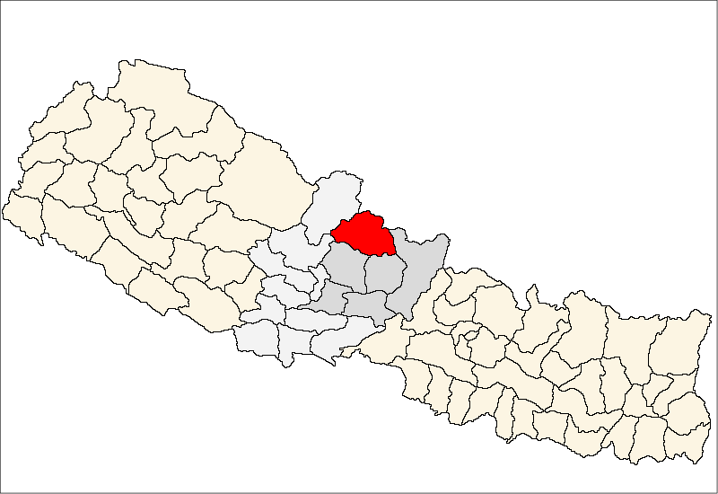
Dharapani, Gandaki
—  Village development committee  —
Dharapani, Gandaki is located in Nepal
Dharapani, Gandaki
Location in Nepal
Coordinates: 28°30′N 84°31′E / 28.50°N 84.52°E / 28.50; 84.52Coordinates: 28°30′N 84°31′E / 28.50°N 84.52°E / 28.50; 84.52
Country  Nepal
Zone Gandaki Zone
District Manang District
Population (1991)
 - Total 940
Time zone Nepal Time (UTC+5:45)

Dharapani, Gandaki is a village development committee in Manang District in the Gandaki Zone of northern Nepal. At the time of the 1991 Nepal census it had a population of 940 people living in 175 individual households.[1]

References

  1. ^ "Nepal Census 2001", Nepal's Village Development Committees (Digital Himalaya), http://www.digitalhimalaya.com/collections/nepalcensus/form.php?selection=1, retrieved 15 November 2009 .


Wikimedia Foundation. 2010.

Игры ⚽ Нужно сделать НИР?

Look at other dictionaries:

  • Dharapani — may refer to: Dharapani, Bheri, Nepal Dharapani, Gandaki, Nepal Dharapani, Lumbini, Nepal Dharapani, Sagarmatha, Nepal This disambiguation page lists articles about distinct geographical locations with the same name. If an …   Wikipedia

  • Village development committee — Nepal This article is part of the series: Politics and government of Nepal Government …   Wikipedia

  • Manaslu — at sunrise Elevation 8,156 m (26,759 ft)  Ranked 8th …   Wikipedia

  • Chame, Nepal — Chame   Municipality   …   Wikipedia

  • Nar, Nepal —   Village development committee   A settlement in Nar VDC …   Wikipedia

  • Nyawal —   Village development committee   …   Wikipedia

  • Manang — Manangbhot Recent view of the village. Note the use of electricity and glass windows, both exceptional in this area …   Wikipedia

  • Manaslu — Der Manaslu von Westen Höhe 8.163 m …   Deutsch Wikipedia

  • Manang District, Nepal — Manang मनाङ   District   Annapurna, Manang District …   Wikipedia

Share the article and excerpts

Direct link
Do a right-click on the link above
and select “Copy Link”