- Dharapani, Bheri
-
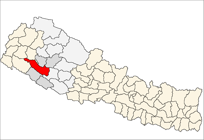
Dharapani, Bheri — Village development committee — Location in Nepal
 Dharapani, Bheri
Coordinates: 28°25′N 81°58′E / 28.42°N 81.96°ECoordinates: 28°25′N 81°58′E / 28.42°N 81.96°E Country  Nepal
NepalZone Bheri Zone District Surkhet District Population (1991) – Total 2,542 Time zone Nepal Time (UTC+5:45) Dharapani, Bheri is a village development committee in Surkhet District in the Bheri Zone of mid-western Nepal. At the time of the 1991 Nepal census it had a population of 2542 people living in 445 individual households.[1]
References
- ^ "Nepal Census 2001", Nepal's Village Development Committees (Digital Himalaya), http://www.digitalhimalaya.com/collections/nepalcensus/form.php?selection=1, retrieved 15 November 2009.
External links
Agragaun · Awalaching · Bajedichaur · Betan · Bidyapur · Bijaura · Chapre · Chhinchu · Dabiyachaur · Dahachaur · Dandakhali · Dasarathpur · Dharapani · Gadi Bayalkada · Garpan · Ghatgaun · Ghoreta · Ghumkhahare · Gumi · Guthu · Hariharpur · Jarbuta · Kafalkot · Kalyan · Kaprichaur · Khanikhola · Kunathari · Lagaam · Latikoili · Lekhfarsa · Lekhgaun · Lekhparajul · Maintada · Malarani · Matela · Mehelkuna · Neta · Pamka · Pokharikanda · Rajeni · Rakam · Ramghat · Ranibas · Ratu · Sahare · Salkot · Satokhani · Taranga · Tatopani · Uttarganga Categories:
- Populated places in Surkhet District
- Bheri Zone geography stubs

Wikimedia Foundation. 2010.