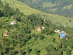
- Dhamilikuwa
-
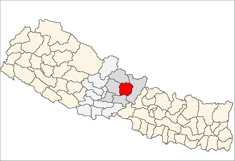
Dhamilikuwa — Village development committee — Location in Nepal
 Dhamilikuwa
Coordinates: 28°05′N 84°28′E / 28.09°N 84.47°ECoordinates: 28°05′N 84°28′E / 28.09°N 84.47°E Country  Nepal
NepalZone Gandaki Zone District Lamjung District Population (1991) - Total 3,831 Time zone Nepal Time (UTC+5:45) Dhamilikuwa is a village development committee in Lamjung District in the Gandaki Zone of northern-central Nepal. At the time of the 1991 Nepal census it had a population of 3831 people living in 791 individual households.[1]
References
- ^ "Nepal Census 2001", Nepal's Village Development Committees (Digital Himalaya), http://www.digitalhimalaya.com/collections/nepalcensus/form.php?selection=1, retrieved 15 November 2009.
External links
Archalbot · Bahundanda · Bajhakhet · Balungpani · Bangre · Bansar · Bhalayakharka, Bharle, Bhoje · Bhorletar · Bhote Bazar · Bhujung · Bhulbhule · Bichaur · Chakratirtha · Chandisthan · Chandreshwor · Chiti · Dhamilikuwa · Dhodeni · Dhuseni · Dudhpokhari · Duradanda · Faleni · Gauda · Gaunsahar · Ghanpokhara · Ghermu · Gilung · Hiletaksar · Ilampokhari · Isaneshwor · Jita · Karapu · Khudi · Kolki · Kunchha · Maling · Mohoriyakot · Nalma · Nauthar · Neta · Pachok · Parewadada · Pasagaun · Puranokot · Pyarjung · Rangha, Samibhanjyang · Shree Bhanjyang · Simpani · Sindure · Sundarbazar · Suryapal · Taghring · Tandrang · Tarku · Tarkughat · Udipur · Uttarkanya
 Categories:
- Populated places in Lamjung District
- Gandaki Zone geography stubs


Wikimedia Foundation. 2010.