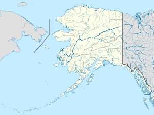
- Demarcation Bay DEW Line Station
-
Demarcation Bay DEW Line Station Part of Alaskan Air Command (AAC) Type Air Force Station Coordinates 69°53′09″N 142°18′28″W / 69.88583°N 142.30778°W Built 1957 In use 1957-1963 Controlled by  United States Air Force
Demarcation Bay DEW Line Station is an abandoned United States Air Force Distant Early Warning Line Radar station located 349 miles (562 km) east of Point Barrow, Alaska. It was closed in 1964, and is not open for public use. It was the most remote DEW site in Alaska.
Contents
History
The station was built in 1957 to support the Distant Early Warning Line, designated BAR-A, being classified as an "Intermediate Site". Intermediate sites were small, usually one or two buildings, an AN/FPS-19 search radar and a gravel airstrip for support. The station was logistically supported by the Barter Island BAR-MAIN DEW Line Station. Demarcation Bay was operated by civilian contract workers.
It was closed in 1963 and has been abandoned ever since. The radars and other military buildings were removed around 2000, returning the site to a natural condition. The gravel streets and the runway of the former airstrip of the station remain.
See also
References
 This article incorporates public domain material from websites or documents of the Air Force Historical Research Agency.
External links
Categories:- Radar networks
- Radar stations of the United States Air Force
- Closed facilities of the United States Air Force
- Military facilities in Alaska
- Buildings and structures in North Slope Borough, Alaska
Wikimedia Foundation. 2010.


