- Dassari, Benin
-
Dassari — Arrondissement and town — Location in Benin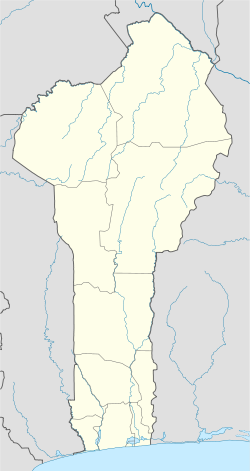
 Dassari
Coordinates: 10°48′57″N 1°8′26″E / 10.81583°N 1.14056°ECoordinates: 10°48′57″N 1°8′26″E / 10.81583°N 1.14056°E Country  Benin
BeninDepartment Atakora Department Commune Matéri Population (2002) – Total 15,839 Time zone WAT (UTC+1) Dassari is a town and arrondissement in the Atakora Department of northwestern Benin. It is an administrative division under the jurisdiction of the commune of Matéri. According to the population census conducted by the Institut National de la Statistique Benin on February 15, 2002, the arrondissement had a total population of 15,839.[1]
References
- ^ Institut National de la Statistique Benin, accessed by Geohive, accessed January 18, 2010
Boukoumbè 
Cobly Kérou Kouandé Matéri Natitingou Kotapounga • Kouaba • Koundata • Natitingou I • Natitingou II • Natitingou III • Natitingou IV • Perma • Tchoumi-TchoumiPéhunco Gnémasson • Péhunco • TobréTanguiéta Toucountouna Kouarfa • Tampégré • ToucountounaCategories:- Benin geography stubs
- Populated places in the Atakora Department
- Arrondissements of Benin

Wikimedia Foundation. 2010.