- Dangraha
-
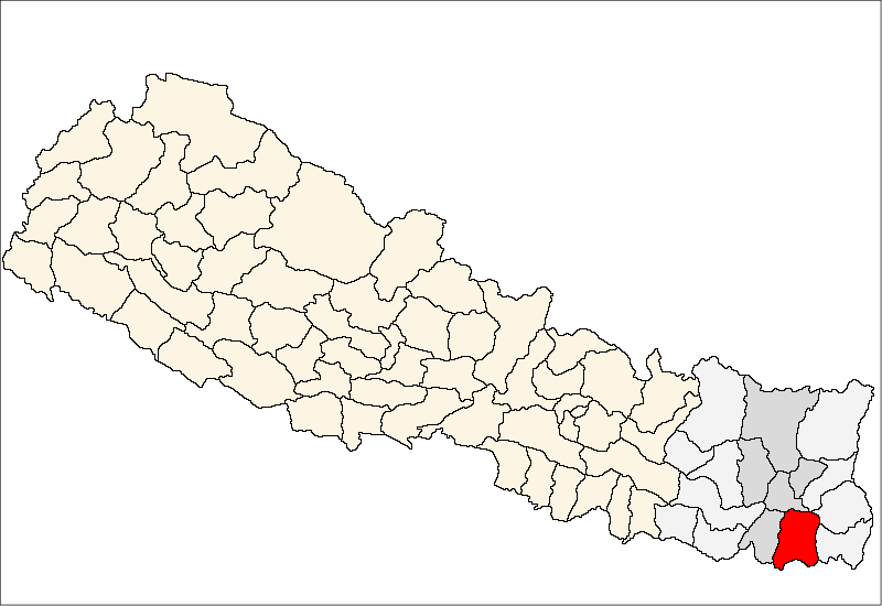
Dangraha — Village development committee — Location in Nepal
 Dangraha
Coordinates: 26°35′N 87°20′E / 26.59°N 87.33°ECoordinates: 26°35′N 87°20′E / 26.59°N 87.33°E Country  Nepal
NepalZone Kosi Zone District Morang District Population (1991) - Total 3,949 Time zone Nepal Time (UTC+5:45) Dangraha is a village development committee in Morang District in the Kosi Zone of south-eastern Nepal. At the time of the 1991 Nepal census it had a population of 3949 people living in 779 individual households.[1]
References
- ^ "Nepal Census 2001". Nepal's Village Development Committees. Digital Himalaya. http://www.digitalhimalaya.com/collections/nepalcensus/form.php?selection=1. Retrieved 15 December 2008.
Amaibariyati, Amardaha, Amgachhi, Babiya Birta, Bahuni, Bairban, Banigama, Baradanga, Bayarban, Belbari, Bhaudaha, Bhogateni, Budhanagar, Dainiya, Dangihat, Dangraha, Darbairiya, Drabesh, Dulari, Govindapur, Haraicha, Hasandaha, Hathimudha, Hoklabari, Indrapur, Itaha, Kerabari, Keron, Lakhantari, Letang, Madhumalla, Mahadeva, Majhare, Matigachha, Motipur, Mrigauliya, Necha, Pathari, Patigaun, Pokhariya, Rajghat, Ramite Khola, Rangeli, Sanischare, Sidharaha, Sijuwa, Sinhadevi Sombare, Sisabanibadahara, Sisawanijahada, Sorabhaj, Sundarpur, Takuwa, Tandi, Tankisinuwari, Tetariya, Thalaha, Urlabari, Warangi, Yangshila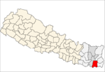 Categories:
- Populated places in Morang District
- Kosi Zone geography stubs

Wikimedia Foundation. 2010.