- D212 road (Croatia)
-
D212 state road
Route information Part of 
Length: 22.1 km (13.7 mi) Major junctions From:  Batina border crossing to Serbia
To:  D7 near Kozarac
Location Counties: Osijek-Baranja Highway system State roads in Croatia
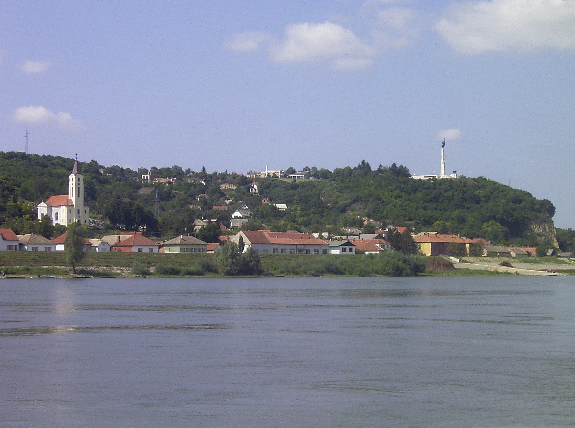
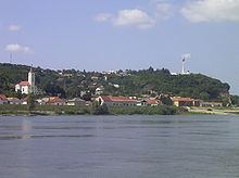 Batina, at the eastern terminus of the D212 road
D212 is a state road in Baranya region of Croatia connecting Batina and nearby border crossing to Bezdan, Vojvodina, Serbia to D7 state road north of Čeminac. The road is 22.1 km (13.7 mi) long.[1]
The road, as well as all other state roads in Croatia, is managed and maintained by Hrvatske ceste, state owned company.[2]
Contents
Traffic volume
Traffic is regularly counted and reported by Hrvatske ceste, operator of the road.[3]
D212 traffic volume Road Counting site AADT ASDT Notes  D212
D2122502 Suza 2,195 2,440 Adjacent to the Ž4037 junction. Road junctions and populated areas
D212 junctions/populated areas Type Slip roads/Notes 
Batina border crossing to Serbia.[4]
The route extends to Bezdan, Vojvodina, Serbia.
The eastern terminus of the road.
Batina
Ž4018 to Gajić and Topolje.Zmajevac
Ž4259 to the Ž4018 county road.Suza Kneževi Vinogradi
Ž4037 to Kotlina and Podolje.
Ž4042 to Grabovac, Vardarac and Bilje. D7 to Beli Manastir (D517) and Duboševica border crossing to Mohács, Hungary (to the north) and to Osijek (D2) and the A5 motorway Osijek interchange[5] (to the south).
The western terminus of the road.See also
- State roads in Croatia
- Hrvatske ceste
Sources
- ^ "Decision on categorization of public roads as state roads, county roads and local roads" (in Croatian). Narodne novine. February 17, 2010. http://narodne-novine.nn.hr/clanci/sluzbeni/2010_02_17_410.html.
- ^ "Public Roads Act" (in Croatian). Narodne novine. December 14, 2004. http://narodne-novine.nn.hr/clanci/sluzbeni/2004_12_180_3130.html.
- ^ "Traffic counting on the roadways of Croatia in 2009 - digest". Hrvatske ceste. May 1, 2010. http://www.hrvatske-ceste.hr/WEB%20-%20Legislativa/brojenje-prometa/CroDig2009.pdf.
- ^ "Map of border crossings and customs office areas" (in Croatian). Customs Administration of the Republic of Croatia. March 6, 2008. http://www.carina.hr/CURH/Dokumenti/Globalni/Karta_Carinarnica_RH.pdf.
- ^ "Regulation on motorway markings, chainage, interchange/exit/rest area numbers and names" (in Croatian). Narodne novine. April 24, 2003. http://www.mmpi.hr/UserDocsImages/nn-73-03-Pravilnik-oznacav-ac.htm.
Categories:- State roads in Croatia
- Osijek-Baranja County

Wikimedia Foundation. 2010.