- D114 road (Croatia)
-
D114 state road
Route information Length: 18.8 km (11.7 mi) Major junctions From:  D113 in Supetar
To: Milna Location Counties: Split-Dalmatia Major cities: Supetar, Milna Highway system State roads in Croatia
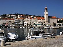 Sutivan, on the D114 road route
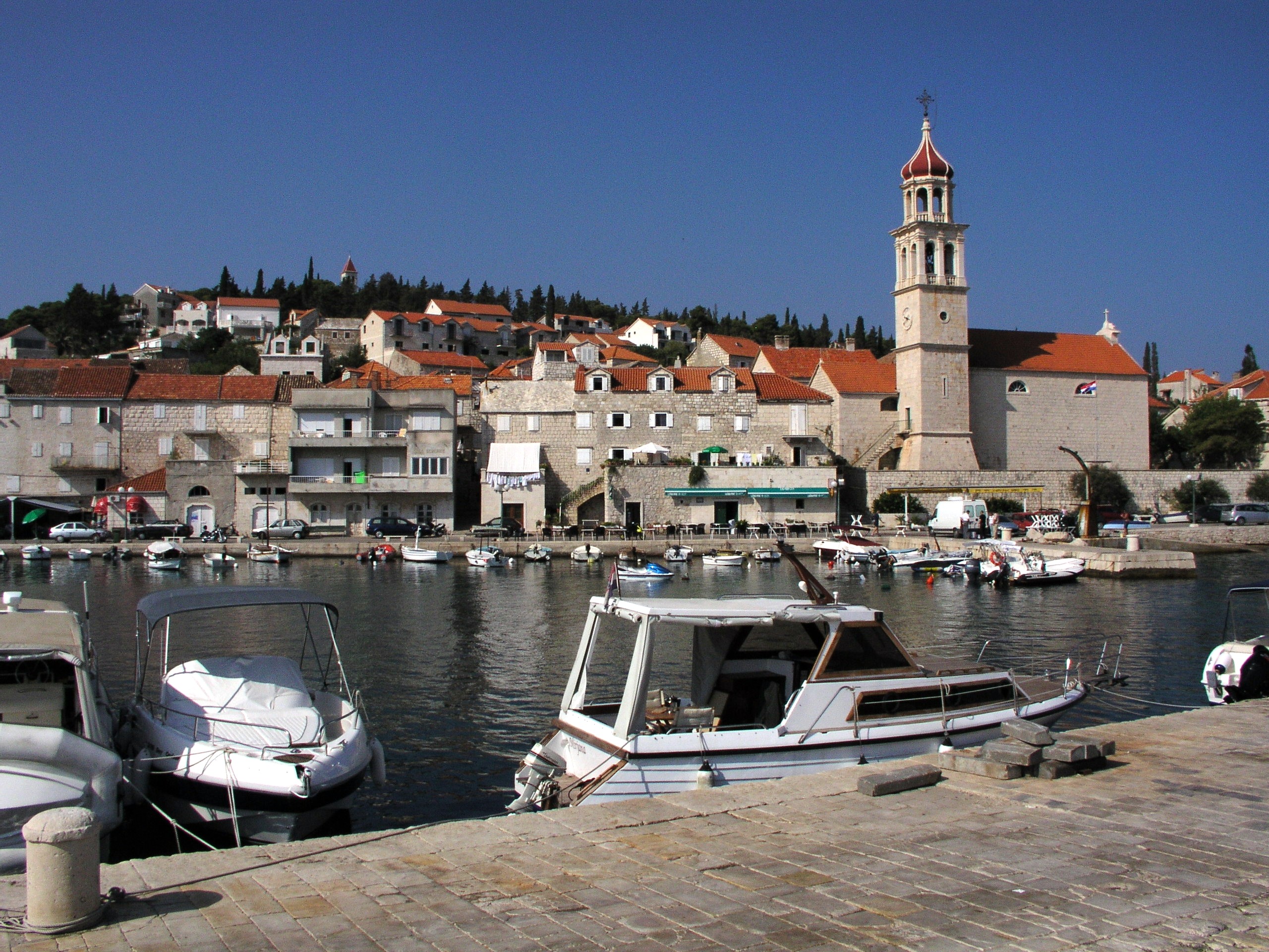
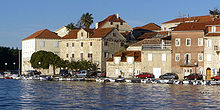 Milna, at the western terminus the D114 road
D114 is a state road on island of Brač in Croatia connecting towns of Milna and Supetar from where Jadrolinija ferries fly to the mainland, docking in Split and the D410 state road (via D113 state road).[1] The road is 18.8 km (11.7 mi) long.[2]
The road, as well as all other state roads in Croatia, is managed and maintained by Hrvatske ceste, a state-owned company.[3]
Road junctions and populated areas
D114 junctions/populated areas Type Slip roads/Notes 
Supetar
D113 to Supetar ferry port and to Nerežišće and Sumartin.
The eastern terminus of the road.
L67113 to Gornja Mirca and Donja Mirca. Sutivan Ložišća
Ž6188 to Nerežišće (D113).Bobovišća Milna
The western terminus of the road.See also
- State roads in Croatia
- Hrvatske ceste
Sources
- ^ "Jadrolinija ferry service" (in English). May 11, 2010. http://www.jadrolinija.hr/default.aspx?lang=2.
- ^ "Decision on categorization of public roads as state roads, county roads and local roads" (in Croatian). Narodne novine. February 17, 2010. http://narodne-novine.nn.hr/clanci/sluzbeni/2010_02_17_410.html.
- ^ "Public Roads Act" (in Croatian). Narodne novine. December 14, 2004. http://narodne-novine.nn.hr/clanci/sluzbeni/2004_12_180_3130.html.
Categories:- State roads in Croatia
- Split-Dalmatia County
- Brač


Wikimedia Foundation. 2010.