Curiapo

Curiapo

Coordinates: 8°34′48″N 60°59′51″W / 8.58°N 60.9975°W / 8.58; -60.9975

Curiapo.jpg

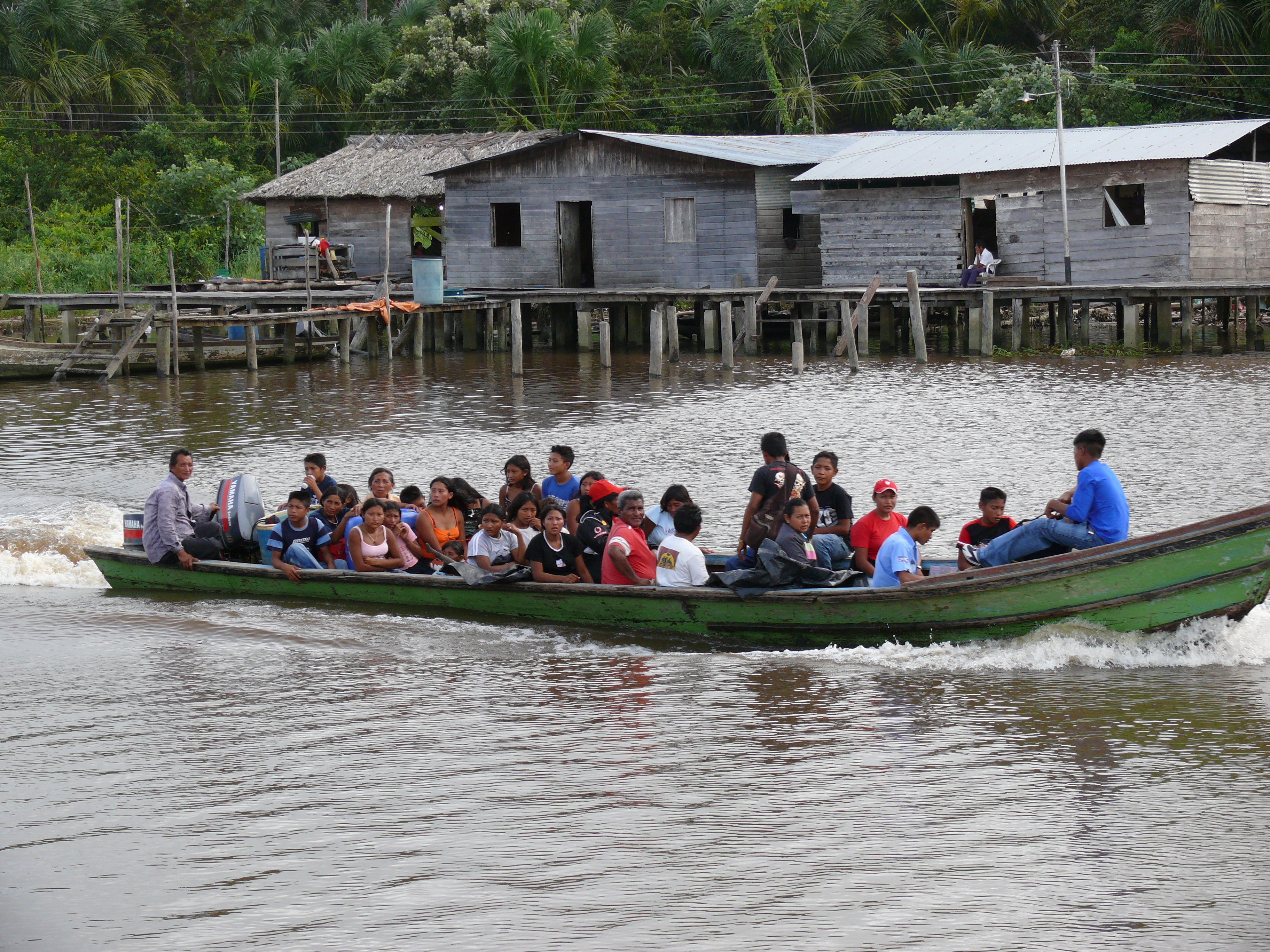
Curiapo is a village in the Delta Amacuro, capital of the Antonio Díaz Municipality in Venezuela.

Contents

Population

In 2001 there were some 2880 Warao indians registered in the parish.[1]

Location

8°34'48"N 60°59'51"W

Education

There are a couple of basic schools in town. Escuela Pedernales is the biggest one.

Reference

  1. ^ [1] Población indígena en los municipios del Delta Amacuro

Wikimedia Foundation. 2010.

Игры ⚽ Поможем сделать НИР

Look at other dictionaries:

  • Curiapo — …   Deutsch Wikipedia

  • Curiapo — Original name in latin Curiapo Name in other language State code VE Continent/City America/Caracas longitude 8.58094 latitude 60.99755 altitude 6 Population 0 Date 2012 01 03 …   Cities with a population over 1000 database

  • Antonio Díaz Municipality — Venezuelan Municipality name= Antonio Díaz country= Venezuela state= Delta Amacuro shiretown= Curiapo area= 22,746 km² (14,133.7 sq mi) population= 27,693 year estimate= 2007 population density= 1.22/km² (2/sq mi) mayor= Amado Antonio Heredia… …   Wikipedia

  • Municipio Antonio Díaz (Delta Amacuro) — Antonio Díaz Municipio de Venezuela …   Wikipedia Español

  • Antonio Díaz (Delta Amacuro) — Pour les articles homonymes, voir Diaz. Antonio Díaz Vue de Curiapo, chef lieu de la municipalité. Symboles …   Wikipédia en Français

  • Delta Amacuro — Symbole …   Deutsch Wikipedia

  • Antonio Díaz (Municipio) — Antonio Díaz Basisdaten Staat Venezuela …   Deutsch Wikipedia

  • Delta Amacuro — For other uses, see Delta Amacuro (disambiguation). Delta Amacuro State Estado Delta Amacuro   State   …   Wikipedia

  • Municipalities of Venezuela — are divisions of the states. Contents 1 Municipalities and their seats …   Wikipedia

  • Orinoco — Paraguá (im Oberlauf) Gewässerkarte des Orinoco Beckens[1] …   Deutsch Wikipedia

Share the article and excerpts

Direct link
Do a right-click on the link above
and select “Copy Link”