|
This Trinity Peninsula, Antarctica, location article is a stub. You can help Wikipedia by expanding it.v · Categories: - Mountains of Trinity Peninsula
- Trinity Peninsula geography stubs
Wikimedia Foundation.
2010.
Look at other dictionaries:
Crown Memorial State Beach — is a state park in the city of Alameda, CA on the shores of the San Francisco Bay. It is operated by the East Bay Regional Parks District. Crown Memorial State Beach looking towards San Francisco. The city, the bay bridge and the conning tower of … Wikipedia Crown Point (Oregon) — Crown Point is the name of a promontory on the Columbia River Gorge and an associated state park in the U.S. state of Oregon. It is located in eastern Multnomah County, approximately 15 miles (24 km) east of Portland. Crown Point is one of… … Wikipedia Crown Mountain (Vancouver Island, British Columbia) — Crown Mountain Elevation 1,846 m (6,056 ft) Prominence 1,339 m (4,393 ft) … Wikipedia peak — [n1] top of something aiguille, alp, apex, brow, bump, cope, crest, crown, hill, mount, mountain, pinnacle, point, roof, spike, summit, tip, vertex; concepts 509,836 Ant. base, bottom, nadir peak [n2] maximum, zenith acme, apex, apogee, capstone … New thesaurus Crown American — is a privately held American company that manages and develops commercial real estate. The corporate headquarters is in downtown Johnstown, Pennsylvania, in a building designed by architect Michael Graves.[1] The company was founded in 1950 as… … Wikipedia Crown of Thorns' Church — Denomination Anglican Communion Churchmanship Anglicanism Website http://www.skhthorns.org/ … Wikipedia Crown Point State Historic Site — is the site of a former military stronghold at the south end of the wider part of Lake Champlain. The location is in Essex County, New York, USA. The site is on a peninsula in the town of Crown Point, New York. Crown Point is the location of the… … Wikipedia Crown Prince Frederik Island — Crown Prince Frederik Island … Wikipedia Crown Mountain (United States Virgin Islands) — Crown Mountain … Wikipedia crown — [n1] top; best acme, apex, climax, crest, culmination, fastigium, head, meridian, peak, perfection, pinnacle, roof, summit, tip, top, ultimate, vertex, zenith; concepts 706,836 Ant. bottom, worst crown [n2] tiara for royalty chaplet, circlet,… … New thesaurus

|
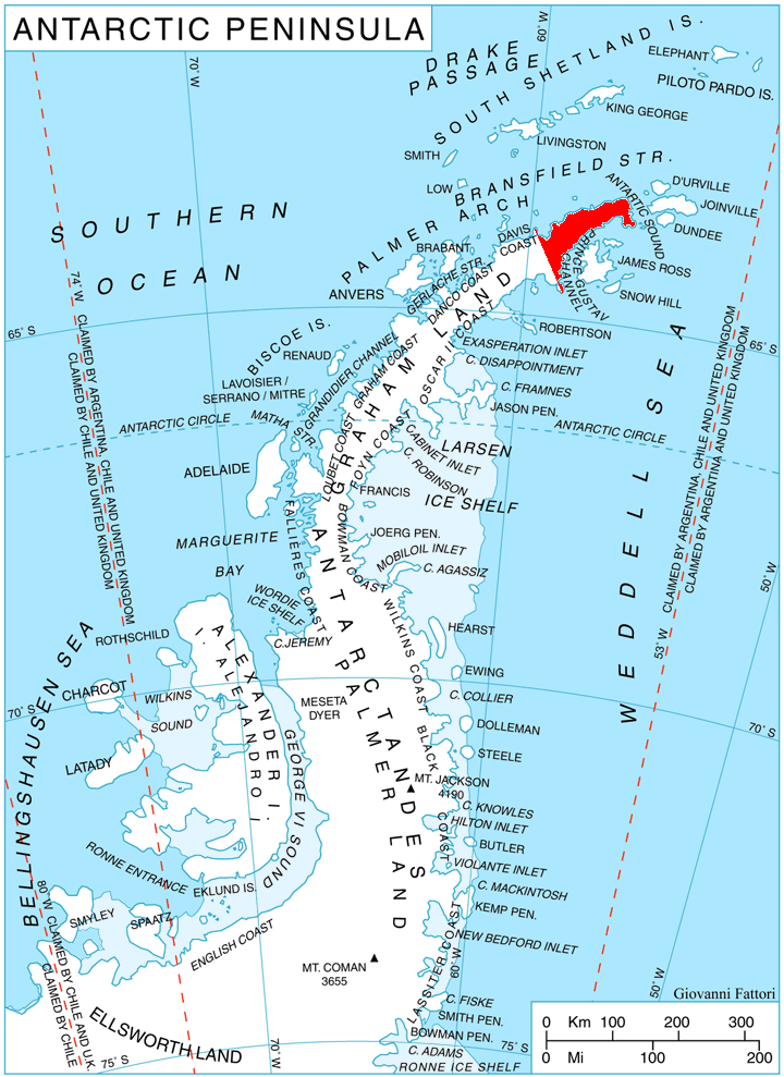
 Location of Trinity Peninsula.
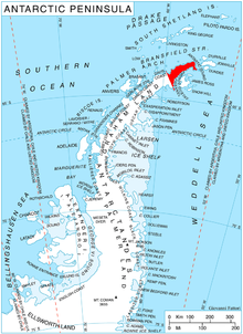
 This article incorporates public domain material from the United States Geological Survey document "Crown Peak" (content from the Geographic Names Information System).