- Creque Marine Railway
-
The Creque Marine Railway, formerly the "St Thomas Marine Repair Facility", is an inclined-plane ship railway on Hassel Island in the US Virgin Islands.
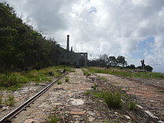
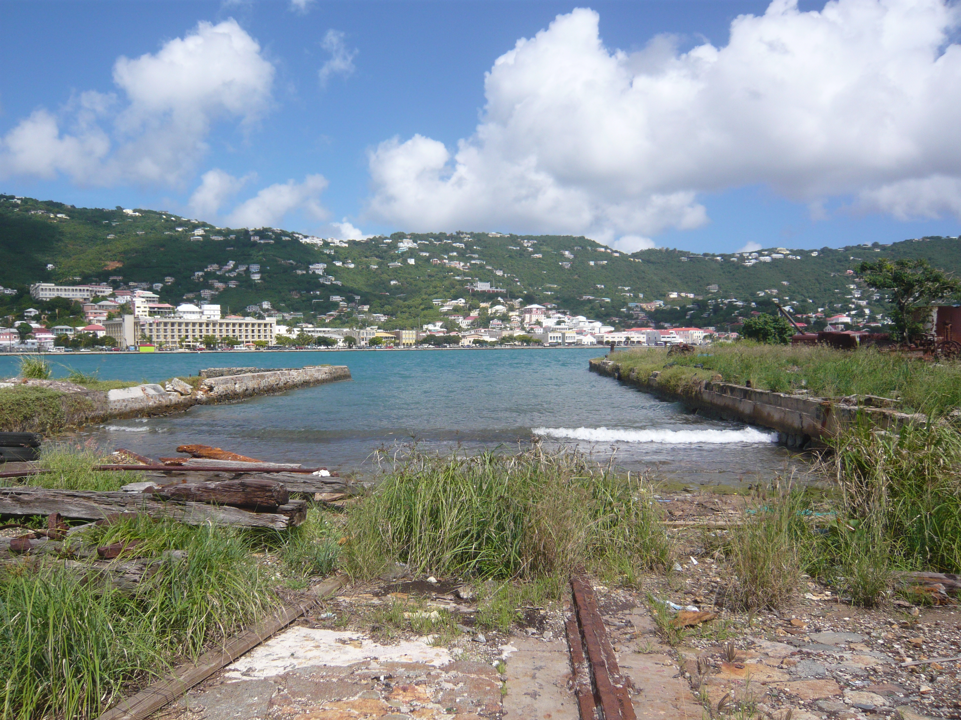
 The remains of the Creque Marine Railway: Looking down towards the water
Contents
History
The marine railway was constructed in the 1840s by Danish investors, at Little Careening Cove on Hassel Island; it entered commercial service in 1844. It is probably the world's oldest surviving marine railway.[1]
A large ship-cradle, built out of "greenheart" wood, ran on four rails,[2] down a shallow incline into the water; the cradle was ballasted. A ship could be floated into the cradle, then drawn up the railway by a winch so that work could be done on the hull - or propellers - of the ship on dry land. The winch was driven by a beam engine.
The beam engine and winch mechanism were manufactured by Boulton of Hamburg, around 1840.
The marine railway is overlooked by Fort Shipley.
The marine railway was originally called the "St Thomas Marine Repair Facility". It fell into financial difficulties and was auctioned in 1910; it was bought by Henry Creque, who refurbished and renamed it.[3] The Creque Marine Railway continued service into the 1960s.[4]
Restoration
By 2007, serious efforts had begun to restore Creque Marine Railway.[5] There are further plans to repair, rehabilitate, and restore parts of the site, with support from the Virgin Islands National Park Service.[6]
External links
Archive material at the Library of Congress
References
- ^ "Hassel Island Historical Archive - Creque Marine Slipway". http://hasselisland.org/index.php?page=creque-marine-slipway. Retrieved 14 August 2011.
- ^ "Voyages of Andrew - Creque Marine Steam Railway". 20 January 2009. http://modelsteam.myfreeforum.org/viewtopic.php?t=15835&start=0. Retrieved 14 August 2011.
- ^ "Creque Marine Railway, Hassel Island, a Walking Tour". February 2008. http://www.stjohnhistoricalsociety.org/Articles/Creque%20Marine%20Railway.htm. Retrieved 14 August 2011.
- ^ "Hassel Island, USVI". http://www.seestjohn.com/hassel_island.html. Retrieved 14 August 2011.
- ^ "Virgin Islands Archeology with the NPS and Friends: Discoveries at Creque Marine Railway and My Last Post!". 19 July 2007. http://friendsvinparch.blogspot.com/2007/07/discoveries-at-creque-marine-railway.html. Retrieved 14 August 2011.
- ^ "St Thomas Historical Trust - Projects". http://stthomashistoricaltrust.org/projects.php. Retrieved 14 August 2011.
Categories:- Docks
- National Register of Historic Places in the United States Virgin Islands

Wikimedia Foundation. 2010.