Crailinghall

Crailinghall
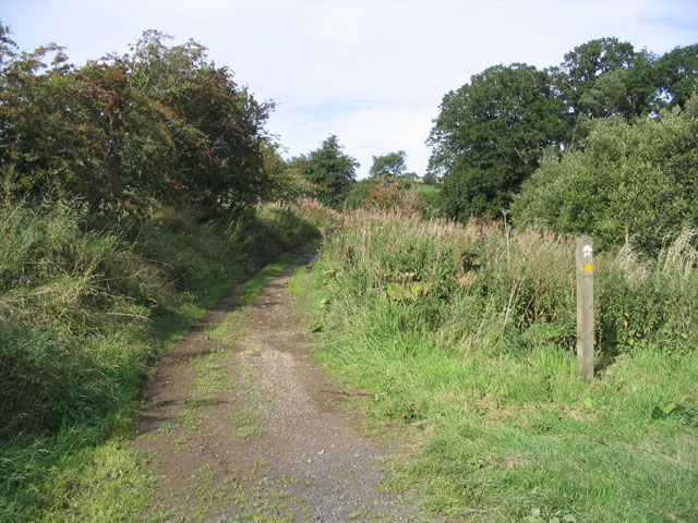
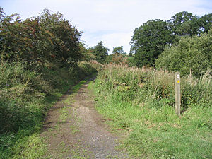
Dere Street at Crailinghall

Crailinghall is a village near Oxnam in the Scottish Borders area of Scotland, in the former Roxburghshire.

Crailinghall is on the route of the St. Cuthbert's Way and the Roman Heritage Way.

See also

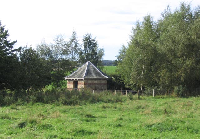
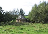
Folly at Crailinghall

Reference

  • Geikie, J (1885) 'List of hill forts, intenched camps, etc. in Roxburghshire on the Scotch side of the Cheviots', Hist Berwickshire Natur Club, vol.10, page 143

External links

Coordinates: 55°29′33″N 2°28′42″W / 55.4925°N 2.4784°W / 55.4925; -2.4784


Wikimedia Foundation. 2010.

Игры ⚽ Нужна курсовая?

Look at other dictionaries:

  • Dere Street — Route of Dere Street in blue Route information Length: 226 mi (364 km) [146 mi (235 km) Eboracum to …   Wikipedia

  • Oxnam — is a village near Jedburgh, in Roxburghshire in the Scottish Borders area of Scotland. It is a primarily residential town. The placename Oxnam is from Old English oxa (genitive oxan) oxen and ham village , the meaning being village where ox are… …   Wikipedia

  • Crailing — is a village on the A698, in Teviotdale, 4m east of Jedburgh in the Scottish Borders area of Scotland, in the former Roxburghshire. Places nearby include Ancrum, Crailinghall, Eckford, Hownam, Kelso, Nisbet, Roxburghshire, the Oxnam Water, the… …   Wikipedia

Share the article and excerpts

Direct link
Do a right-click on the link above
and select “Copy Link”