- Closeburn railway station
-
Closeburn 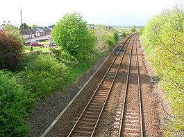
Location Area Dumfries and Galloway Operations Original company Glasgow, Dumfries and Carlisle Railway Pre-grouping Glasgow and South Western Railway Post-grouping LMS Platforms 2 History 15 October 1849 Opened as Closeburn 11 September 1961[1][2] Closed to passengers 06 May 1964[3] Closed to goods traffic Disused railway stations in the United Kingdom Closed railway stations in Britain
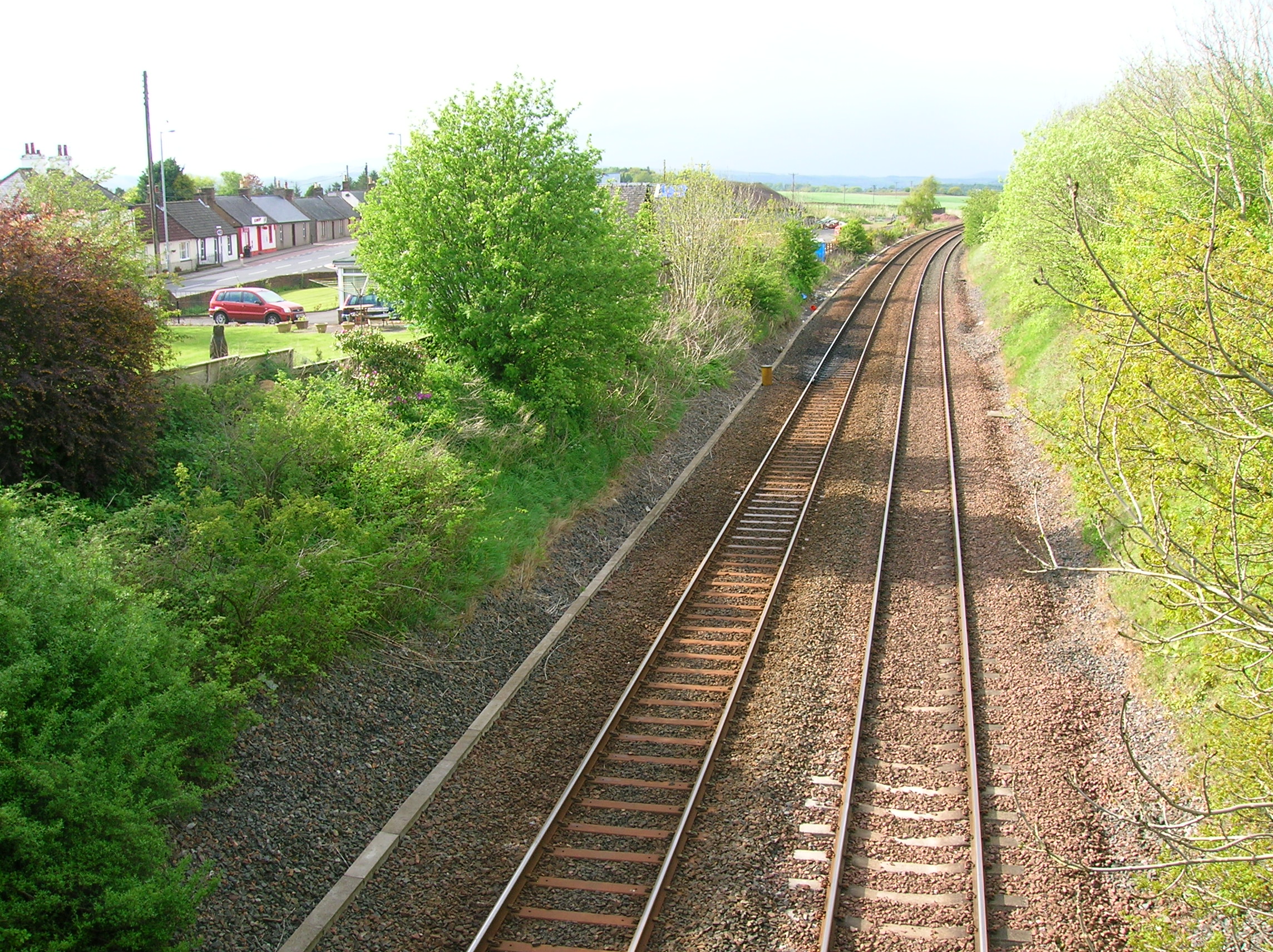
A B C D–F G H–J K–L M–O P–R S T–V W–ZCloseburn railway station was a railway station in Dumfries and Galloway north of Dumfries, serving a rural community with Wallace Hall school and Closeburn Castle nearby. Its OS NGR is NX 8970 9234.
History
The station opened on 15 October 1849. The station is now closed, although the line running through the station is still open. The station buildings, goods sheds and station master's house still exist, but the platforms have been removed.
Lost and found
The 1897 - 1956 Found Items book from Closeburn has survived and is held in the Ewart Library in Dumfries. As per usual in Scotland items of waterproof clothing and umbrellas figure prominently in the list of recovered items.[4]
Preceding station Historical railways Following station Thornhill
Line open; station closedGlasgow and South Western Railway
Auldgirth
Line open; station closedReferences
Notes;
- ^ RCAHMS site
- ^ Rankin, Stuart (2006-7). Found Items Closeburn Station 1897-1956. Sou'West Journal. No. 38. p. 27.
- ^ Lindsay, David M. E. (2002). G&SWR Register of stations, routes & lines. G&SWR Association. Part 6.3, Page 20
- ^ Rankin, Stuart (2006-7). Found Items Closeburn Station 1897-1956. Sou'West Journal. No. 38. p. 28.
Sources;
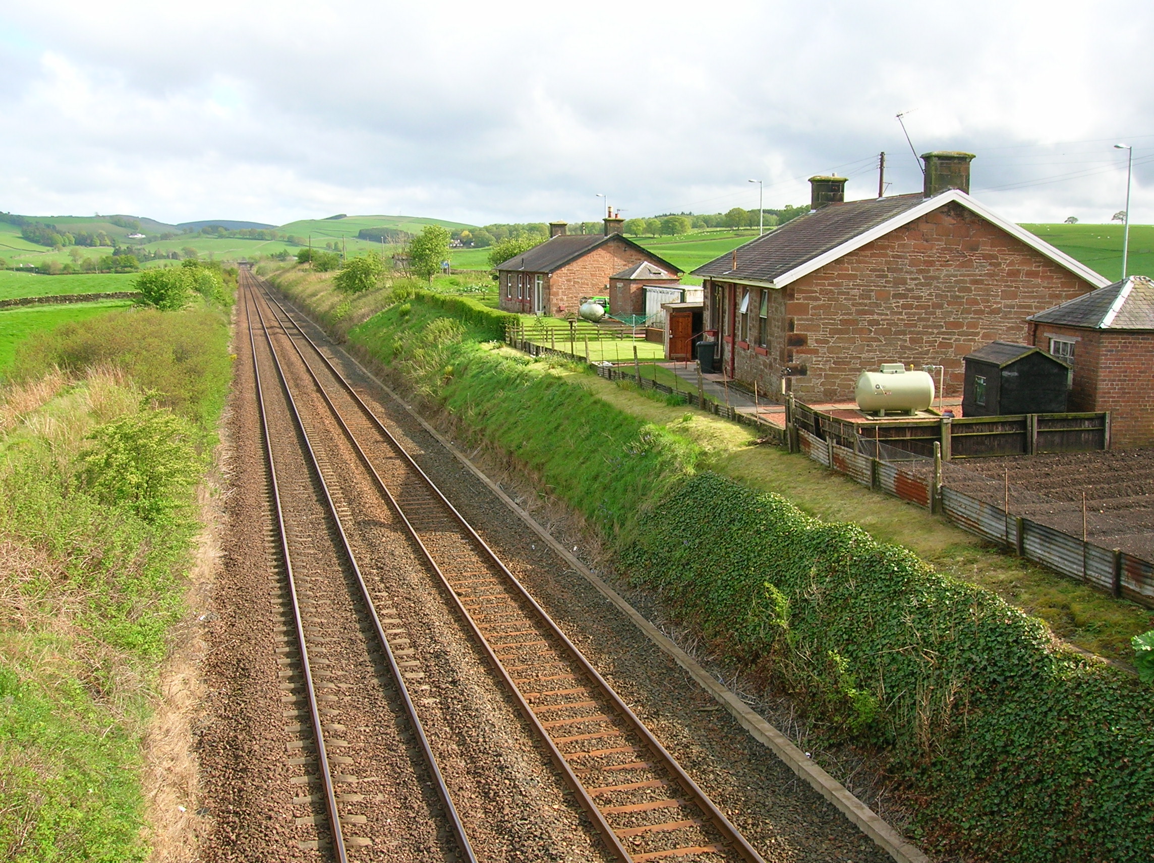
 Closeburn station master's house looking towards Auldgirth.
- Butt, R. V. J. (1995). The Directory of Railway Stations: details every public and private passenger station, halt, platform and stopping place, past and present (1st ed.). Sparkford: Patrick Stephens Ltd. ISBN 1-8526-0508-1. OCLC 60251199.
- Jowett, Alan (March 1989). Jowett's Railway Atlas of Great Britain and Ireland: From Pre-Grouping to the Present Day (1st ed.). Sparkford: Patrick Stephens Ltd. ISBN 1-8526-0086-1. OCLC 22311137.
- Jowett, Alan (2000). Jowett's Nationalised Railway Atlas (1st ed.). Penryn, Cornwall: Atlantic Transport Publishers. ISBN 0-9068-9999-0. OCLC 228266687.
- RAILSCOT on Glasgow, Dumfries and Carlisle Railway
Categories:- Railway stations opened in 1849
- Railway stations closed in 1961
Wikimedia Foundation. 2010.