- Clarks Mills, Wisconsin
-
Clarks Mills, Wisconsin — Unincorporated community — 
 Clarks Mills, Wisconsin
Coordinates: 44°05′24″N 87°51′51″W / 44.09°N 87.86417°WCoordinates: 44°05′24″N 87°51′51″W / 44.09°N 87.86417°W Country United States State Wisconsin County Manitowoc Elevation 850 ft (259 m) Time zone Central (CST) (UTC-6) - Summer (DST) CDT (UTC-5) Area code(s) 920 GNIS feature ID 1563123[1] Clarks Mills is an unincorporated community located in the town of Cato, Manitowoc County, Wisconsin, United States. Clarks Mills is 2 miles (3.2 km) northwest of Valders.
Images
-
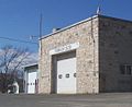
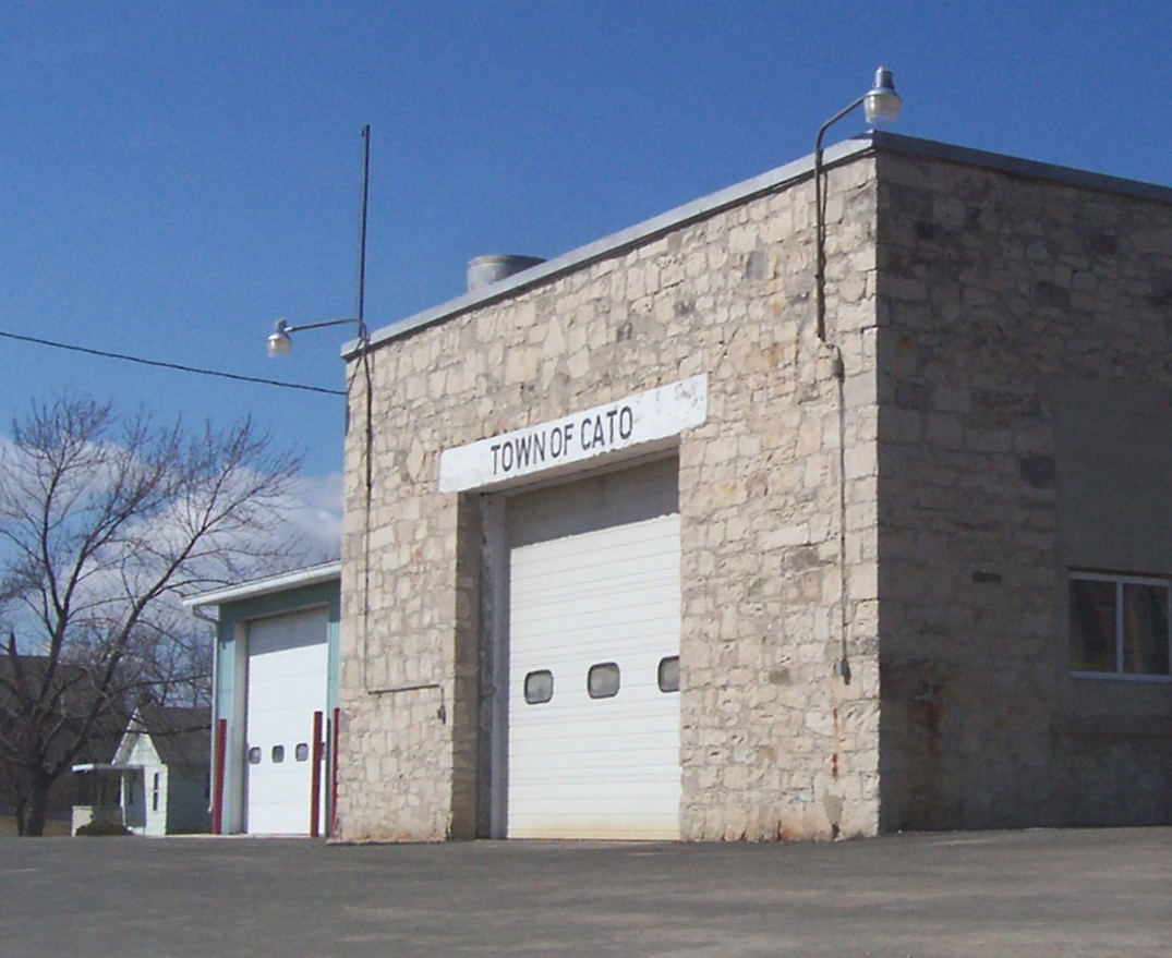
Town of Cato town hall in Clarks Mills
-
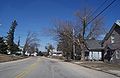
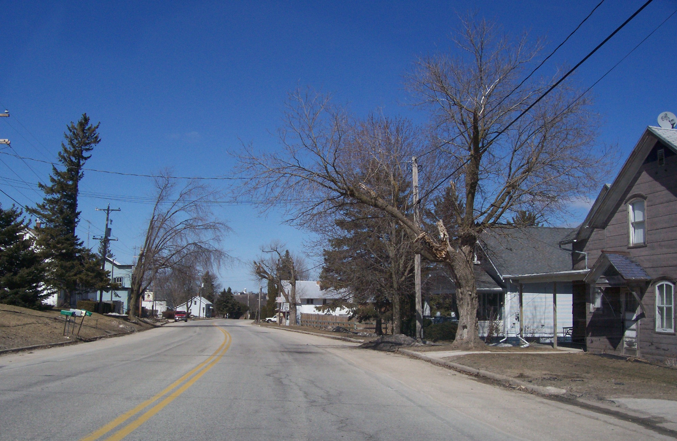
Looking north at Clarks Mills
References
Municipalities and communities of Manitowoc County, Wisconsin County seat: Manitowoc Cities Kiel | Manitowoc | Two Rivers

Villages Cleveland | Francis Creek | Kellnersville | Maribel | Mishicot | Reedsville | St. Nazianz | Valders | Whitelaw
Towns Cato | Centerville | Cooperstown | Eaton | Franklin | Gibson | Kossuth | Liberty | Manitowoc Rapids | Manitowoc | Maple Grove | Meeme | Mishicot | Newton | Rockland | Schleswig | Two Creeks | Two Rivers
CDP Unincorporated
communitiesAlverno | Branch | Cato | Clarks Mills | Clover | Cooperstown | Duveneck | Fisherville | Grimms | Hickory Grove | Kellners Corners | Kingsbridge | Larrabee | Louis Corners | Madsen | Maple Grove | Meeme | Meggers‡ | Melnik | Menchalville | Millhome | Newton | Newtonburg | North Grimms | Northeim | Osman | Reifs Mills | Rockville | Rockwood | Rosecrans | Rube | School Hill | Shoto | Spring Valley | Steinthal | Taus | Tisch Mills | Two Creeks | Wells‡ | Zander
Footnotes ‡This populated place also has portions in an adjacent county or counties
Categories:- Populated places in Manitowoc County, Wisconsin
- Unincorporated communities in Wisconsin
- Wisconsin geography stubs
-


Wikimedia Foundation. 2010.