- Church of St Mary the Virgin, Norton Sub Hamdon
-
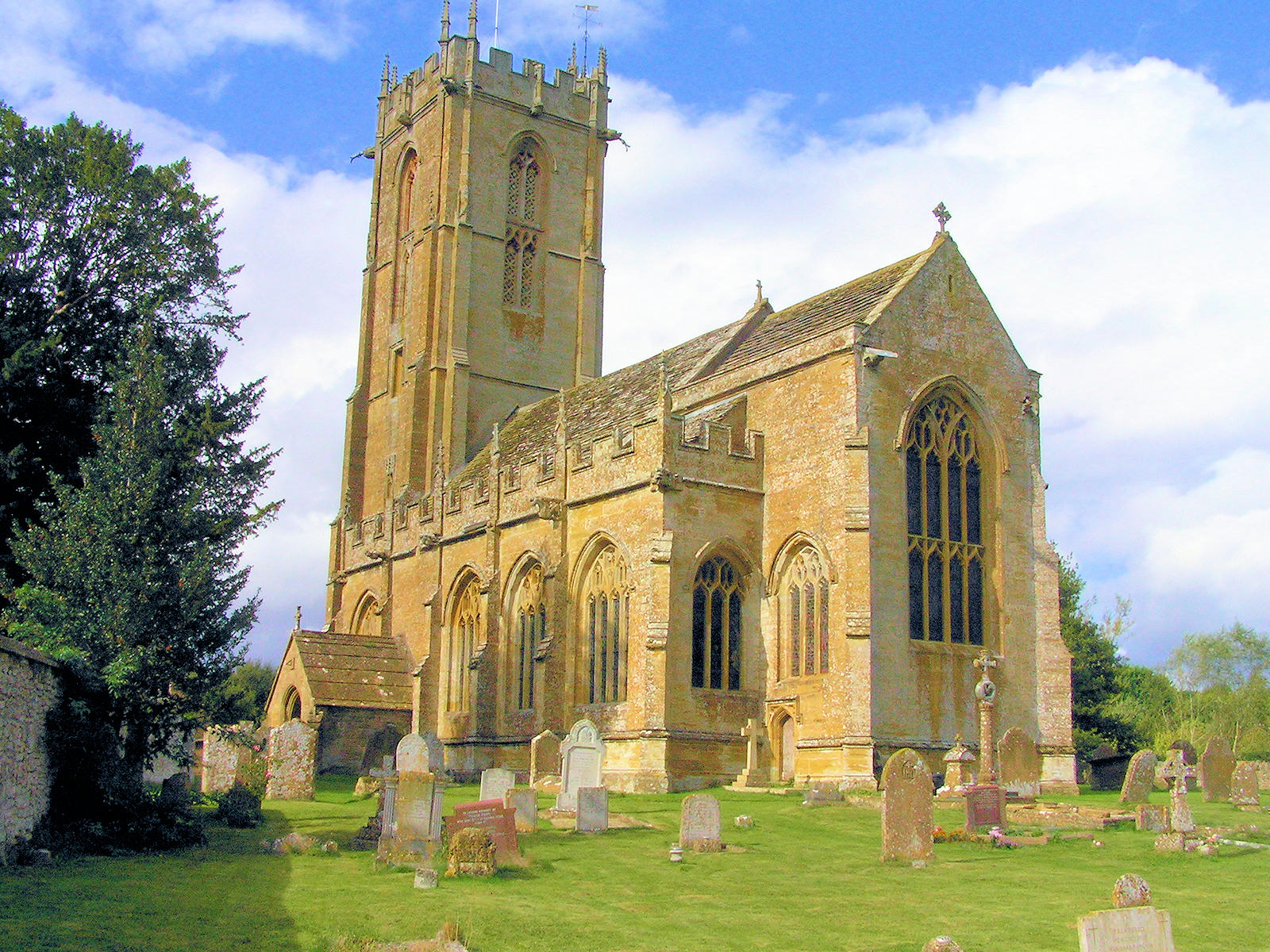
Church of St Mary the Virgin 
Location: Norton Sub Hamdon, Somerset, England Coordinates: 50°56′24″N 2°45′13″W / 50.94°N 2.75361°WCoordinates: 50°56′24″N 2°45′13″W / 50.94°N 2.75361°W Built: 16th century Listed Building – Grade I Designated: 19 April 1961[1] Reference #: 437126 
 Location of Church of St Mary the Virgin in Somerset
The Church of St Mary the Virgin in Norton Sub Hamdon, Somerset, England has 13th century origins but was rebuilt around 1510. It has been designated as a Grade I listed building.[1]
restoration was undertaken by Henry Wilson in 1894 and again in 1904.
The five-stage tower, dating from around 1485,[2] which rises 98.5 feet (30 m) was damaged by lightning and fire on 29 July 1894, but restored within a year preserving the original design.[3] It has a double plinth, offset corner buttresses, dividing strings, battlemented parapet with pairs of corner pinnacles extended from buttresses, and central paired pinnacles corbelled off gargoyles.[1]
The dovecote in the churchyard dates from the 17th century,[4] and was associated with a manor house which was demolished around 1850.[5]
See also
- List of Grade I listed buildings in South Somerset
- List of towers in Somerset
References
- ^ a b c "Church of St. Mary the Virgin". Images of England. English Heritage. http://www.imagesofengland.org.uk/Details/Default.aspx?id=437126. Retrieved 2009-06-07.
- ^ Poyntz Wright, Peter (1981). The Parish Church Towers of Somerset, Their construction, craftsmanship and chronology 1350 - 1550. Avebury Publishing Company. ISBN 0861275020.
- ^ "Church Guide". Church of St Mary the Virgin, Norton Sub Hamdon. http://www.nortonchurch.org.uk/guide1.asp. Retrieved 2008-03-06.
- ^ "Dovecote in churchyard, about 15 metres south-west of church, Church of St. Mary the Virgin". Images of England. English Heritage. http://www.imagesofengland.org.uk/Details/Default.aspx?id=439972. Retrieved 2009-02-01.
- ^ Bush, Robin (1994). Somerset: The complete guide. Wimborne: The Dovecote Press Ltd. pp. 159. ISBN 1874336261.
Categories:- Church of England churches in Somerset
- 16th-century architecture
- Grade I listed churches
- Grade I listed buildings in Somerset
- South Somerset

Wikimedia Foundation. 2010.