- Chilton County Airport
-
Chilton County Airport
Gragg-Wade Field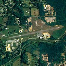
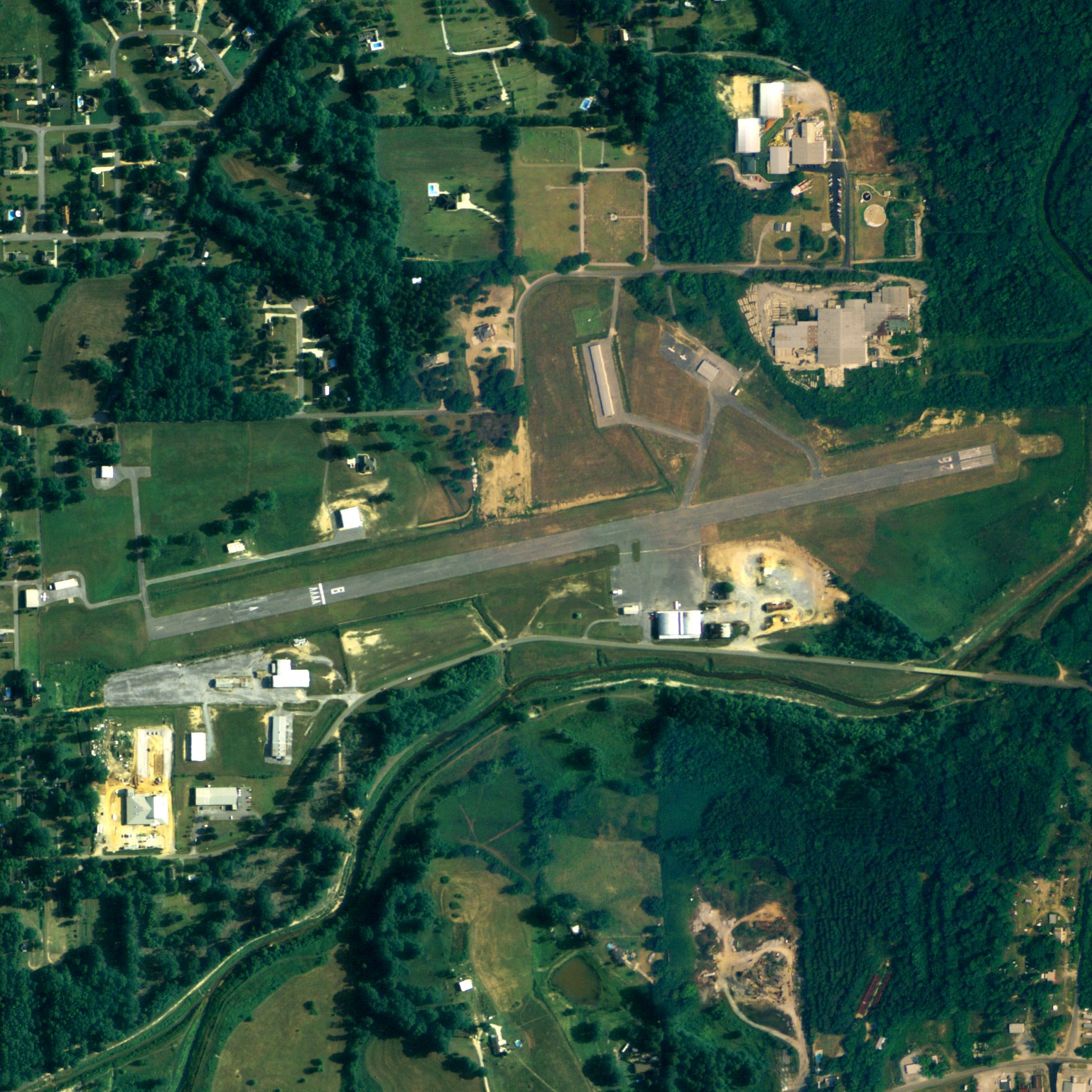
NAIP aerial image, 22 June 2006 IATA: none – ICAO: none – FAA LID: 02A Summary Airport type Public Owner Chilton County Airport Authority Serves Chilton County, Alabama Location Clanton, Alabama Elevation AMSL 585 ft / 178 m Coordinates 32°51′02″N 086°36′41″W / 32.85056°N 86.61139°W Runways Direction Length Surface ft m 8/26 4,008 1,222 Asphalt Statistics (2010) Aircraft operations 23,924 Based aircraft 22 Source: Federal Aviation Administration[1] Chilton County Airport[1][2] (FAA LID: 02A), also known as Gragg-Wade Field, is a public-use airport in Chilton County, Alabama, United States. The airport is located one nautical mile (2 km) east of the central business district of Clanton, Alabama. It is owned by Chilton County Airport Authority.[1]
This airport is included in the FAA's National Plan of Integrated Airport Systems for 2011–2015[3] and 2009–2013,[4] both of which categorized it as a general aviation facility.
Facilities and aircraft
Chilton County Airport covers an area of 101 acres (41 ha) at an elevation of 585 feet (178 m) above mean sea level. It has one runway designated 8/26 with an asphalt surface measuring 4,008 by 100 feet (1,222 x 30 m).[1]
For the 12-month period ending November 5, 2010, the airport had 23,924 general aviation aircraft operations, an average of 65 per day. At that time there were 22 aircraft based at this airport: 91% single-engine and 9% multi-engine.[1]
References
- ^ a b c d e FAA Airport Master Record for 02A (Form 5010 PDF). Federal Aviation Administration. Effective 25 August 2011.
- ^ "Chilton airport turns 75 next summer". The Clanton Advertiser. 22 July 2011. http://www.clantonadvertiser.com/2011/07/22/chilton-airport-turns-75-next-summer/.
- ^ "2011–2015 NPIAS Report, Appendix A (PDF, 2.03 MB)". 2011–2015 National Plan of Integrated Airport Systems. Federal Aviation Administration. 4 October 2010. http://www.faa.gov/airports/planning_capacity/npias/reports/media/2011/npias_2011_appA.pdf.
- ^ "2009–2013 NPIAS Report, Appendix A: Part 1 (PDF, 1.33 MB)". 2009–2013 National Plan of Integrated Airport Systems. Federal Aviation Administration. 15 October 2008. http://www.faa.gov/airports/planning_capacity/npias/reports/media/2009/npias_2009_appA_part1.pdf.
External links
- Aerial image as of 16 February 1997 from USGS The National Map
- Airfield photos for 02A from Civil Air Patrol
- FAA Terminal Procedures for 02A, effective 20 October 2011
- Resources for this airport:
- AirNav airport information for 02A
- FlightAware airport information and live flight tracker
- SkyVector aeronautical chart for 02A
Categories:- Airports in Alabama
- Buildings and structures in Chilton County, Alabama
- Transportation in Chilton County, Alabama
Wikimedia Foundation. 2010.