- Char Sonapur
-
Char Sonapur — Village — Location in Bangladesh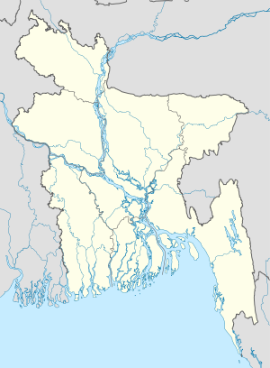
 Char Sonapur
Coordinates: 22°53′N 90°27′E / 22.883°N 90.45°ECoordinates: 22°53′N 90°27′E / 22.883°N 90.45°E Country  Bangladesh
Division Barisal Division District Barisal District Time zone Bangladesh Time (UTC+6) Char Sonapur is a village in Barisal District in the Barisal Division of southern-central Bangladesh.[1][2]
References
- ^ Parisaṃkhyāna Byuro (2005). Bangladesh Population Census, 2001: Barisal. Bangladesh Bureau of Statistics, Planning Division, Ministry of Planning, Govt. of the People's Republic of Bangladesh. http://books.google.com/books?id=4E6xAAAAIAAJ. Retrieved 18 January 2011.
- ^ Geographic Names, National Geospatial-Intelligence Agency, accessed 18 January 2011
Categories:- Populated places in Barisal District
- Barisal Division geography stubs

Wikimedia Foundation. 2010.