- Moheltolee
-
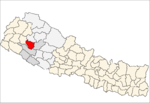
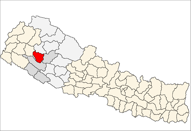
Moheltolee — Village development committee — Location in Nepal
 Moheltolee
Coordinates: 28°50′N 81°52′E / 28.84°N 81.86°ECoordinates: 28°50′N 81°52′E / 28.84°N 81.86°E Country  Nepal
NepalZone Bheri Zone District Dailekh District Population (1991) - Total 1,877 Time zone Nepal Time (UTC+5:45) Moheltolee is a village development committee in Dailekh District in the Bheri Zone of western-central Nepal. At the time of the 1991 Nepal census it had a population of 1877 people living in 360 individual households.[1]
References
- ^ "Nepal Census 2001", Nepal's Village Development Committees (Digital Himalaya), http://www.digitalhimalaya.com/collections/nepalcensus/form.php?selection=1, retrieved October 7, 2008
External links
Awal Parajul · Bada Bhairab · Bada Khola · Badalamji · Baluwatar · Bansi · Baraha · Basantamala · Belaspur · Belpata · Bhawani · Bindhyabasini · Bisalla · Chamunda · Chauratha · Dada Parajul · Dullu · Gamaudi · Gauri · Goganpani · Jaganath · Jambukandh · Kal Bhairab · Kalika · Kasikandh · Katti · Khadkawada · Kharigera · Kusapani · Lakhandra · Lakuri · Lalikhanda · Lyati Bindraseni · Mairi Kalikathum · Malika · Moheltolee · Narayan · Naule Katuwal · Nepa · Nomule · Odhari · Padukasthan · Pagnath · Piladi · Pipalkot · Pusakot Chiudi · Rakam Karnali · Raniban · Rawalkot · Room · Salleri · Santalla · Saraswoti · Seri · Sigaudi · Singasain · Tilepata · Tilijaisi · Toli
 Categories:
- Populated places in Dailekh District
- Bheri Zone geography stubs

Wikimedia Foundation. 2010.