- San Vicente, El Salvador
-
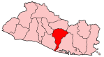
San Vicente — Municipality — San Vicente Tower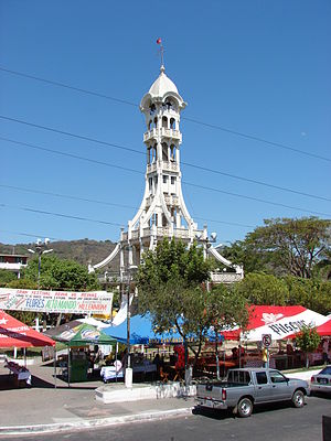 Location in El Salvador
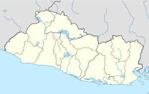
 San Vicente
Coordinates: 13°38′N 88°48′W / 13.633°N 88.8°WCoordinates: 13°38′N 88°48′W / 13.633°N 88.8°W Country  El Salvador
Department San Vicente Department Elevation 1,280 ft (390 m) Population – Total 53,213 San Vicente is a municipality in the San Vicente department of El Salvador. It was founded by 50 Spanish families in 1635, under the Tempisque tree, which is still standing today.
One point of interest is the Tower of San Vicente, designed by French Architect Eugenio Basilio Crepiat (the spanish version of his name), located at the center of the city in Cañas Park. It was damaged by an earthquake in 2001. Repairs have since been made, and the tower is once again the hub of many festivities. The city has several local festivals, which take place in Cañas Park. Among these are the gastronomic festivals, which are usually held every month.
San Vicente is also the seat of the Roman Catholic Diocese of San Vicente.
It has many public schools, including one for children with disabilities, as well as two colleges.
Capital: San VicenteMunicipalities Apastepeque · Guadalupe · San Cayetano Istepeque · San Esteban Catarina · San Ildefonso · San Lorenzo · San Sebastián · Santa Clara · Santo Domingo · San Vicente · Tecoluca · Tepetitán · Verapaz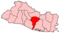
 Categories:
- El Salvador geography stubs
- Populated places in El Salvador
- Municipalities of the San Vicente Department


Wikimedia Foundation. 2010.