- Apastepeque
Infobox Settlement
name = Apastepeque
settlement_type = Municipality
other_name =
native_name =
nickname =
motto =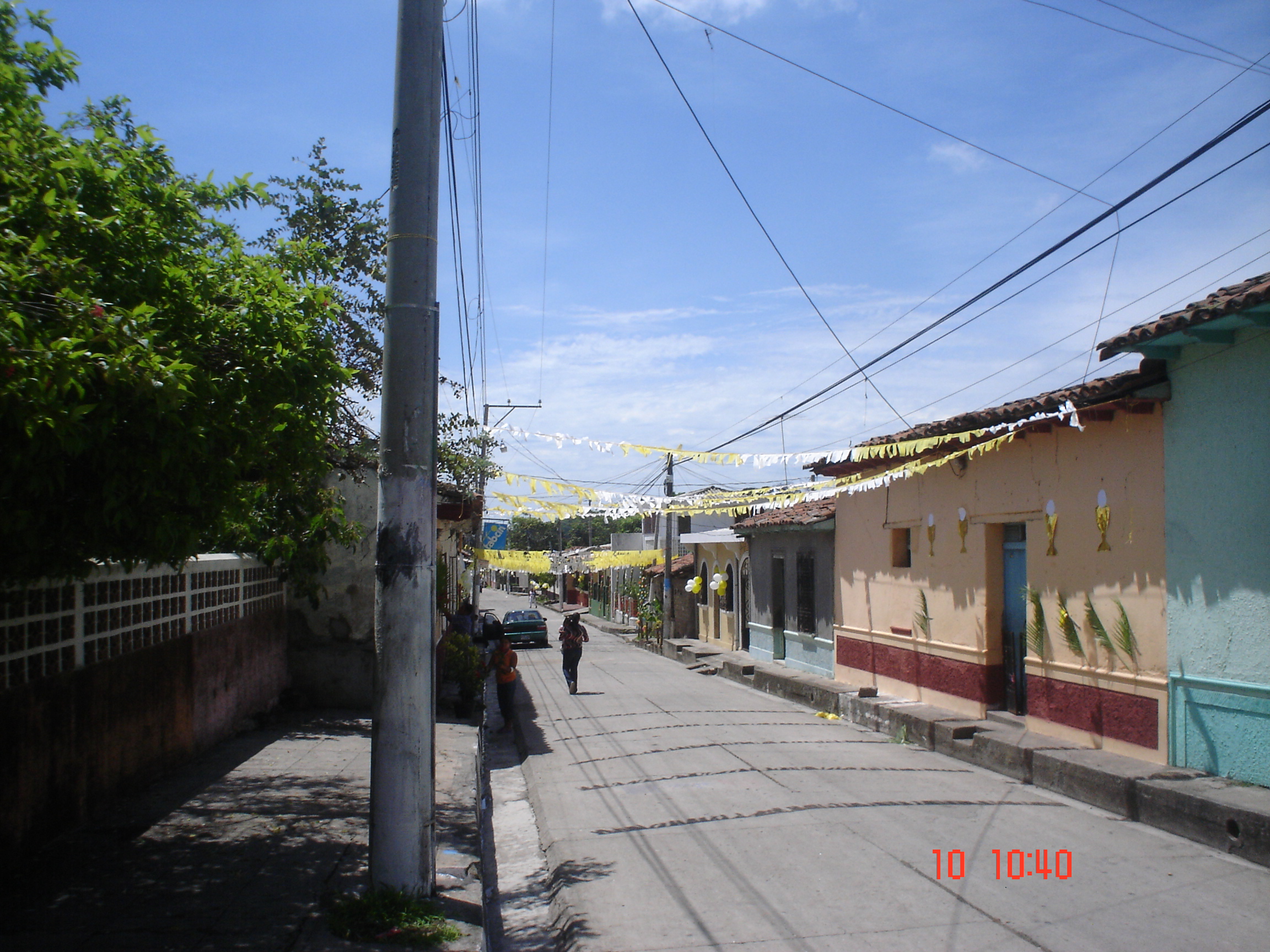
imagesize = 300px
image_caption =Raimundo Lazo Street onCorpus Christi day
flag_size =
image_
seal_size =
image_shield =
shield_size =
image_blank_emblem =
blank_emblem_type =
blank_emblem_size =
mapsize =
map_caption =
mapsize1 =
map_caption1 =
image_dot_
dot_mapsize =
dot_map_caption =
dot_x = |dot_y =
pushpin_
pushpin_label_position =bottom
pushpin_mapsize =300
pushpin_map_caption =Location in El Salvador
subdivision_type = Country
subdivision_name =
subdivision_type1 = Department
subdivision_name1 =San Vicente Department
subdivision_type2 =
subdivision_name2 =
subdivision_type3 =
subdivision_name3 =
subdivision_type4 =
subdivision_name4 =
government_footnotes =
government_type =
leader_title =Patron
leader_name =Santiago Apóstol
leader_title1 =
leader_name1 =
leader_title2 =
leader_name2 =
leader_title3 =
leader_name3 =
leader_title4 =
leader_name4 =
established_title =
established_date =
established_title2 =
established_date2 =
established_title3 =
established_date3 =
area_magnitude =
unit_pref =Imperial
area_footnotes =
area_total_km2 =
area_land_km2 =
area_water_km2 =
area_total_sq_mi =
area_land_sq_mi =
area_water_sq_mi =
area_water_percent =
area_urban_km2 =
area_urban_sq_mi =
area_metro_km2 =
area_metro_sq_mi =
area_blank1_title =
area_blank1_km2 =
area_blank1_sq_mi =
population_as_of =
population_footnotes =
population_note =
population_total = 19,895
population_density_km2 =
population_density_sq_mi =
population_metro =
population_density_metro_km2 =
population_density_metro_sq_mi =
population_urban =
population_density_urban_km2 =
population_density_urban_sq_mi =
population_blank1_title =Ethnicities
population_blank1 =
population_blank2_title =
population_blank2 =
population_density_blank1_km2 =
population_density_blank1_sq_mi =
timezone =
utc_offset =
timezone_DST =
utc_offset_DST =
latd=13|latm=40 |lats=|latNS=N
longd=88 |longm=46 |longs= |longEW=W
elevation_footnotes =
elevation_m =
elevation_ft =
postal_code_type =
postal_code =
area_code =
blank_name =
blank_info =
blank1_name =
blank1_info =
website =
footnotes =Apastepeque is a municipality in the
San Vicente Department ,El Salvador . It is located approximately 50 km east ofSan Salvador and approximately 6 km fromSan Vicente . The town has approximately 10,000 residents with 19,895 in municipality.The town is known for its fiestas and cultural traditions throughout the year, starting in January with Fiesta de los Moros, in May, La Virgen de Santa Clarita, in July the patron Santiago, and in December, the annual Christmas carnaval.
Geography
Apastepeque is a municipality of the San Vicente Department. It is located towards the southeast of the centre of the country to the east of San Salvador and lies at an altitude of 590m. Bordering to the north is the municipalitiy of
San Esteban Catarina , to the north east the municipality ofSanta Clara , to the east withSan Ildefonso , to the south withCiudad de San Vicente (the department capital) and to the west with the municipality ofSan Cayetano Istepeque . It is 6km from Ciudad de San Vicente and 58 km from San Salvador.Arts and culture
Apastepeque is a city with a rich religious and cultural tradition and character that fuses together the elements of pre and colonial influences with those of the new generation. One of the monuments in Apastepeque of great renown is the church that was built during the colonial period. However it has been damaged several times due to earthquakes and recently underwent a reconstruction after the 2001 disaster. Notable
fiesta s are celebrated in the city such as that between 16 to July 25 in honor of thepatron saint Saint James the Great ("Santiago Apóstol"), where they indulge in much religious, cultural and social activity such as masquerades, dances and concerts.In the
Nahuatl language , Apastepeque means “Hill of the Alabastro”. Alabastro is a type oflimestone . In the Nahuatl language, Saguayapa, a settlement adjacent to the main town means “Rivers of frogs and sands”. These twin towns, are separated by the Raymundo Street to the north of the parochial church Santiago Apóstol. The north part is occupied by Saguayapa and the south part by Apastepeque. Apastepeque celebrates many celebrations annually, initiating in the month of January to honor San Sebastián Martyr. This festival is regarded as the second most important in the city and the dances of the Moors and Christians which are deeply engrained in the history of the city are performed to celebrate the event.Economy
Traditionally, the economy of the city has been based on
agriculture , mostlysubsistence farming and cultivationSugar cane forms a crucial pillar of the economy. The sugar cane is appreciated not only as a food product but for its medicinal qualities.Notable people
Some personalities of notability of the
20th Century in Apastepeque are Francisco Henríquez, educator and artist; Mélida Realegeño, teacher; Carmen Solorzano, agricultural retailer; Dr. Oscar Santamaría, lawyer and notary and politician of great trajectory.

Wikimedia Foundation. 2010.