- Maroshi (Shaviyani Atoll)
-
Maroshi 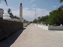
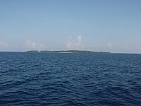
Island Summary Belongs to Shaviyani Atoll Location 06°12′30″N 73°03′40″E / 6.20833°N 73.06111°E Population 832 Length 690 m Width 600 m Distance from Malé 124 nmi (230 km) Administrative Information Island Chief Ahmed Abdu Rahman Vagu Maroshi (Dhivehi: މަރޮށި) is one of the inhabited islands of the Shaviyani Atoll administrative division and geographically part of the Miladhummadulhu Atoll in the Maldives.
Contents
Geography
The island of Maroshi is found in the Western rim of the atoll. It is situated at 6 12'N and 73 15'E latitude and longitude respectively. The island has a large lagoon and harbouring is easy. Maroshi is given the code C10.
This island is historic as it has the tree that grew from the Kaani Mundi (a raw wooden post) used to make the sail of Kalhuohfunmi, the sailing boat used by the heroic character, Mohamed Thakurufaanu in his endeavour to free the country of the occupation by the Portuguese.
Demographics
Registered Population as of December 2007
WomenUnder 18 years 18 – 65 years Over 65 years Total Women 155 249 34 438
MenUnder 18 years 18 – 65 years Over 65 years Total Men 151 233 41 425 Population activities as of December 2007 [1]
Economy
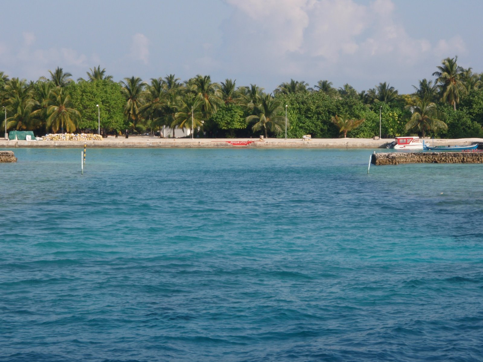
 Maroshi Harbour
The main occupation of the people of Maroshi is fishing. In addition to this a good number of young people are engaged in work in Male' and resorts and office employment. The island has 4 mechanised fishing vessels, 2 transport vessels which travel to Male for cargo and passenger lifting. It has 9 retail shops. Government has made a harbour in the island.
Education
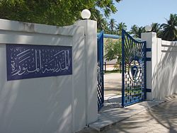
The school in Maroshi named Al Madhrasathul Munavvara was built by Maroshi Hussain Abdulla (MHA) in 1979. In 2006 MHA handed the school over to the Government after rebuilding completely with modern facilities. This school is one of the centres holding GCE examinations in the country.
Health Services
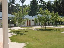
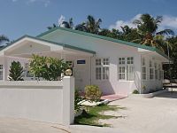 Maroshi Health Center
Basic level health care is provided in the island by a Health Centre, where one doctor and one nurse works. There is also a pharmacy run by people of the island.
Local productions
Dried tuna fish, Salted fish, Rihaakuru, Thatch, Rope, Toddy Honey, Coconut
Historical Sites
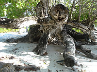 The historic Kaani tree of Maroshi
 The gigantic branches of the Kaani Gas (Sea Trumpet) being attacked by 'giant saws'
The Huge Kaani (Sea Trumpet) Tree in Maroshi is noted in history for various reasons. It is a living tribute to Sultan Mohamed Thakurufaanu who freed the country from the reign of the Portuguese. It is also the largest tree of its kind in the country, and probably the oldest as well. It is said that Mohamed Thakurufaanu received a lot of help from the renowned Maroshi Raaveribe ( toddy-tapper) in his fight for national independence. It was his job to mend and maintain the sail of the Kalhuoffunmi - the ship used in the 'battle' and supply water to the vessel every time it docked at Maroshi, which was an important port during this fight. This tree still growing in the island is the one that grew from the Kaani staff that Raaveribe hoisted some 400 years ago to keep the huge sails of Kalhuoffunmi. Although some of the gigantic branches of the tree show signs of being attacked by 'giant saws', this is a historical monument that has been preserved over time. Also, signs of the passage through which the vessel went in and out of the kulhi (a lake-like enclosure of water) in the island is still quite obvious.
Famous people
Hussein Abdulla (MHA), Mohamed Abdul Rahman (Bodey), Iqbal Mohamed, Abdul Razzaq, Mohamed Waheed (Madidhoo Waheed), Rauf, Abdul Wahhab, Ahmed Rasheed (Azum).
External links
- http://kudajameel.blogspot.com/
- http://www.presidencymaldives.gov.mv/4/?ref=1,5,3585
- http://www.presidencymaldives.gov.mv/4/?ref=14,15,3584
Categories:- Islands of the Maldives


Wikimedia Foundation. 2010.