- Lower Savage Islands
Infobox Islands
name = Lower Savage Islands
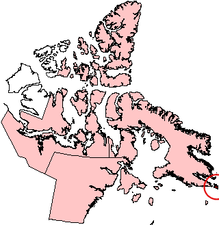
image caption = Lower Savage Islands and neighbouring area (red circle at edge of map).
image size =
locator
map_custom =
native name =
native name link = Inuktikut
nickname =
location =Northern Canada
coordinates = coord|61|48|N|65|48|W|display=inline,title
archipelago =Canadian Arctic Archipelago
total islands =
major islands =
area =
highest mount =
elevation =
country = Canada
country admin divisions title = Territory
country admin divisions = flag|Nunavut
country largest city =Iqaluit
country largest city population =
country leader title =
country leader name =
population = Uninhabited
population as of =
density =
ethnic groups =Inuit
additional info =The Lower Savage Islands are an offshore island group of
Baffin Island , located in theCanadian Arctic Archipelago in the territory ofNunavut . The islands lie in Gabriel Strait, an arm ofHudson Strait , [cite web |url=http://www.bartleby.com/69/93/L06793.html |title=Lower Savage Islands |accessdate=2008-09-15 |last= |first= |coauthors= |date=2000 |work=The Columbia Gazetteer of North America |publisher=bartleby.com] northwest ofResolution Island , and west ofEdgell Island .A V-shaped lake lies convert|1.5|km|mi south of Savage Harbour which is located at 61°49.15'N, 65°42.62'W. [cite web |url=http://www.mun.ca/biology/delta/arcticf/poa/www/popula.htm |title=Poaceae of the Canadian Arctic Archipelago: Descriptions, Illustrations, Identification, and Information Retrieval |accessdate=2008-09-15 |last=Aiken |first=S.G. |coauthors=Consaul, L.L. & Dallwitz, M.J. |date=
2001-12-10 |work= |publisher=]References
Wikimedia Foundation. 2010.