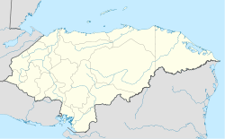
- Dolores, Copán
-
Dolores Coordinates: 14°52′N 88°49′W / 14.867°N 88.817°WCoordinates: 14°52′N 88°49′W / 14.867°N 88.817°W Country  Honduras
Departament Copán. Government – Mayor Dolores is a municipality in the Honduran department of Copán.
References
Capital: Santa Rosa de CopánMunicipalities Cabañas · Concepción · Copán Ruinas · Corquín · Cucuyagua · Dolores · Dulce Nombre · El Paraíso · Florida · La Jigua · La Unión · Nueva Arcadia · San Agustín · San Antonio · San Jerónimo · San José · San Juan de Opoa · San Nicolás · San Pedro de Copán · Santa Rita · Santa Rosa de Copán · Trinidad de Copán · VeracruzDolores is a pretty town in the mountains (1300 meters) They have an active city government, several churches, a federal police station. There are several small shops which sell cokes etc. they also have an internet cafe There are many pictures on the internet at http://www.rader.org/dolores/dolores.htm
Categories:- Honduras geography stubs
- Populated places in Honduras
- Municipalities of the Copán Department
Wikimedia Foundation. 2010.


