- Duyure
-
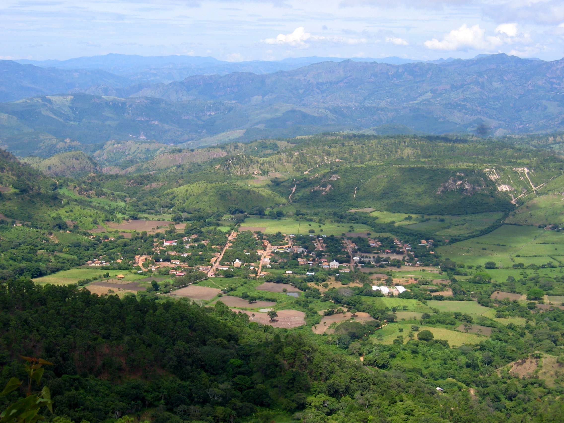
Duyure Photograph of Duyure from above.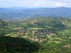
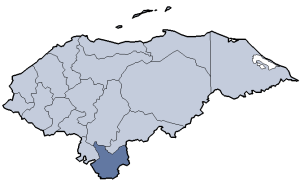
SealNickname(s): Creek of the Coyotes Country Honduras Department Choluteca Municipality Duyure Government - Mayor Celfida Amada Bustillo Cerna Population (2000) - Total 3,529 Duyure is a municipality located in the Honduran department of Choluteca. The municipality borders Nicaragua to the east, the department of El Paraíso to the north, the municipality of Morolica to the west, and the municipality of San Marcos de Colón to the south. The Choluteca River runs along the northern and western limits of the municipality. The town center is located 32 kilometers North of the city of San Marcos de Colón via a dirt road connected to the Pan-American Highway.
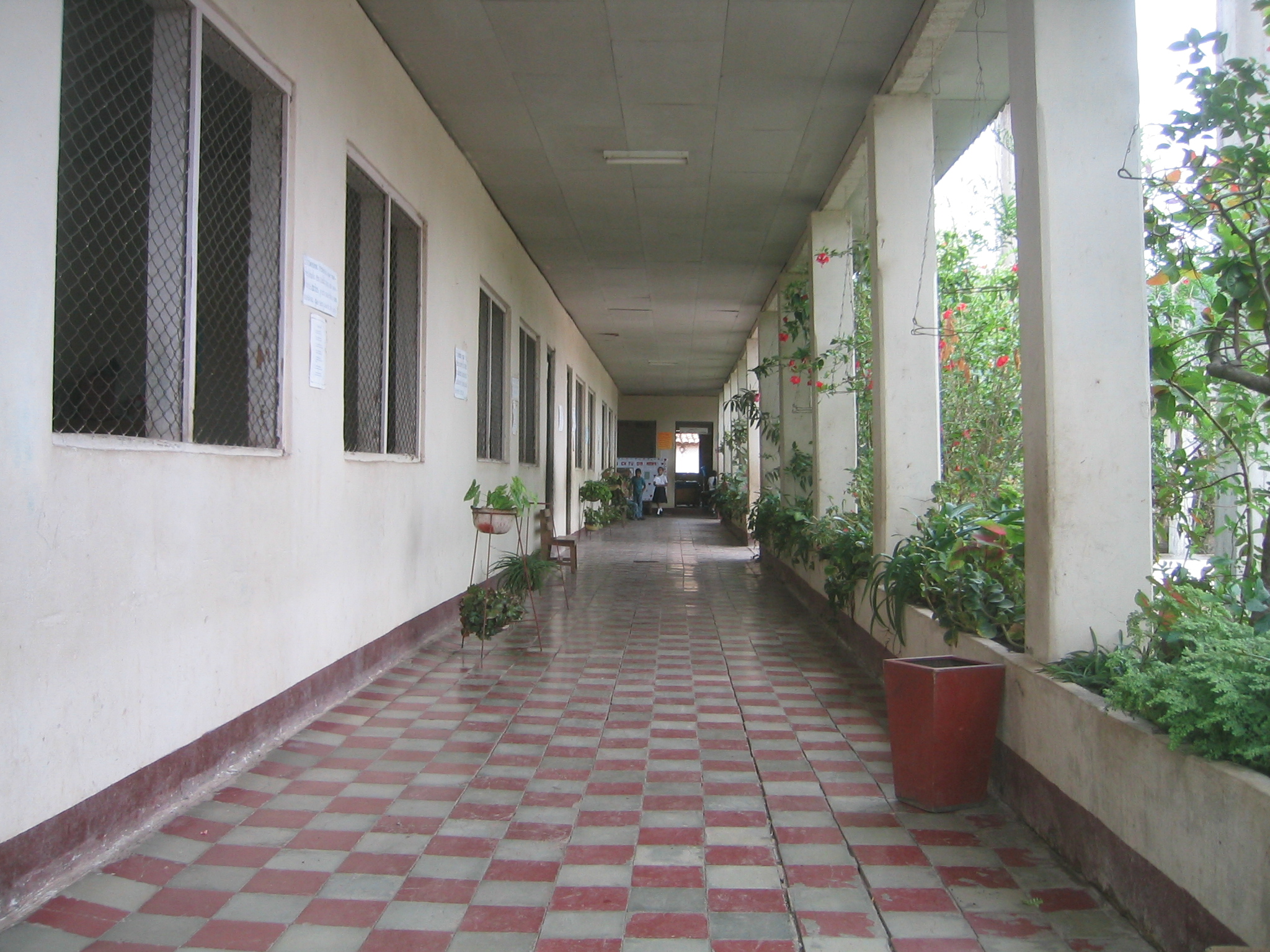
Located in the center of the municipality is the town center which is surrounded by seven satellite villages and several small housing clusters. The seven satellite villages located outside of the urban center are named: Apasupo, Liraqui, Tierras Coloradas, Carrizal Prieto, El Horno, Alto Pino, and San Lorenzo. Each village contains a public school that educates children ranging from kindergarten to sixth grade. The town center has both a primary school and a high school.
Town center
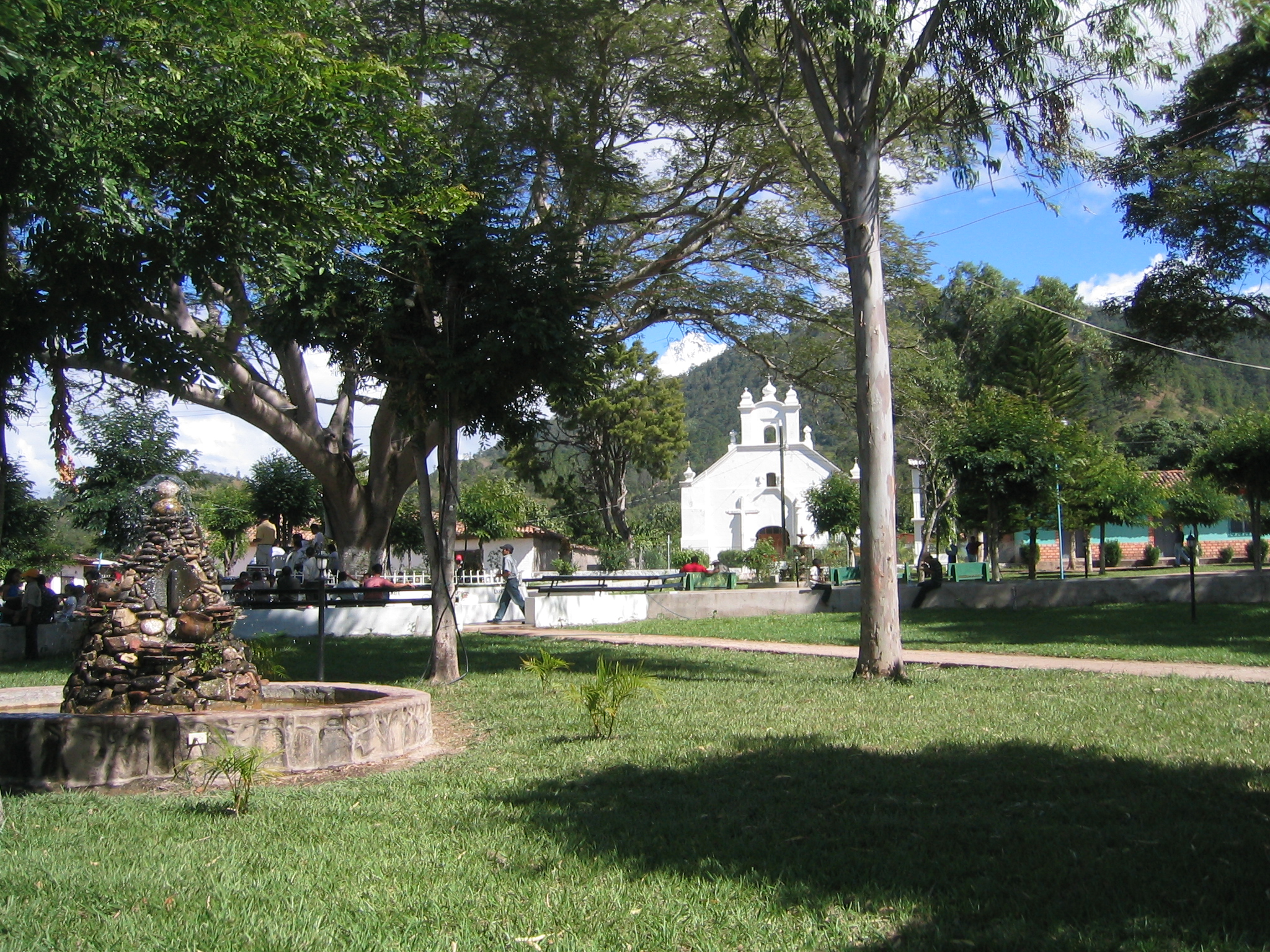
In the center of Duyure stands a large Guanacaste tree which serves as a centerpiece for the town's grassy Central Park. Several large trees, from Acacia to Tamarind, can be found throughout the park. Town Hall faces Central Park from the north side of the park and is located adjacent to the town's only Pool Hall. To the east side of the park stands the Catholic church. The church is rumored to have been constructed during the 19th century, although the interior of the structure underwent renovation in 2008. Neighboring the Catholic church sits the local computer center, formally known as the "Community Center for Knowledge and Communication" (CCCC). Located to the west side of the park is the Health Center (CESAMO) and the town Kindergarten.
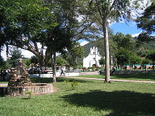 Central Park
Transportation
To date, the only available public transportation is a 1.5 hour long bus ride to San Marcos de Colón. The bus leaves from Duyure for San Marcos de Colón at 6:00 AM and returns to Duyure from San Marcos de Colón at 3:30 PM daily.
External links
- Duyure Adelante - A non-profit organization established in 1999 that provides aid to Duyure.
-
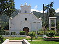
Catholic Church
-
Elementary School in town center
-

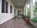
Main street in town center
-
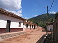
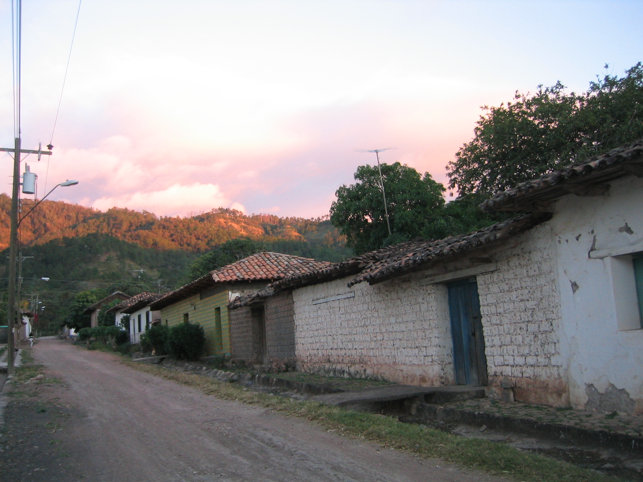
Local street
 Choluteca Department
Capital: Choluteca Municipalities · Apacilagua · Choluteca · Concepción de María · Duyure · El Corpus · El Triunfo · Marcovia · Morolica · Namasigue · Orocuina · Pespire · San Antonio de Flores · San Isidro · San José · San Marcos de Colón · Santa Ana de Yusguare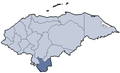 Categories:
- Municipalities of the Choluteca Department
- Populated places in Honduras
- Honduras geography stubs


Wikimedia Foundation. 2010.