- Manau, Nepal
-
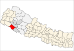
Manau, Nepal — Village development committee — Location in Nepal
 Manau, Nepal
Coordinates: 28°26′N 81°11′E / 28.44°N 81.19°ECoordinates: 28°26′N 81°11′E / 28.44°N 81.19°E Country  Nepal
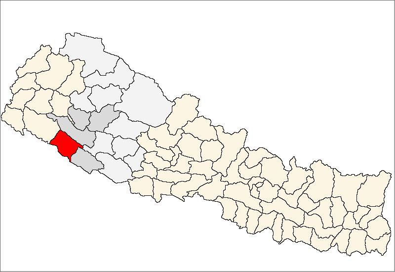
NepalZone Bheri Zone District Bardiya District Population (1991) – Total 5,741 Time zone Nepal Time (UTC+5:45) Manau is a village development committee in Bardiya District in the Bheri Zone of south-western Nepal. At the time of the 1991 Nepal census it had a population of 5,741 and had 833 houses in the town.[1]
References
- ^ "Nepal Census 2001". Nepal's Village Development Committees. Digital Himalaya. http://www.digitalhimalaya.com/collections/nepalcensus/form.php?selection=1. Retrieved 2008-08-31.
Badalpur · Baganaha · Baniyabhar · Belawa · Bhimapur · Daulatpur · Deudakala · Dhadhawar · Dhodhari · Gola · Jamuni · Kalika · Khairapur · Khairi Chandanpur · Magaragadi · Mahamadpur · Manau · Manpur Mainapokhar · Manpur Tapara · Mathurahardwar · Motipur · Naya Gaun · Neulapur · Padanaha · Pasupatinagar · Patabhar · Rajapur · Saneshree · Sivapur · Sorhawa · Suryapatawa · Taratal · Thakudwara
 Categories:
- Populated places in Bardiya District
- Bheri Zone geography stubs

Wikimedia Foundation. 2010.