Frieschepalen — 53°6′29″N 6°12′18″E / 53.10806, 6.205 … Wikipédia en Français
Holiday home Kromhoeksterbrug Frieschepalen — (Frieschepalen,Нидерланды) Категория отеля: 3 звездочный отель Ад … Каталог отелей
Fryske Peallen — Frieschepalen 53°6′29″N 6°12′18″E / 53.10806, 6.205 … Wikipédia en Français
lytse leane — (Frieschepalen,Нидерланды) Категория отеля: 3 звездочный отель Адрес: 9249nx Frieschepal … Каталог отелей
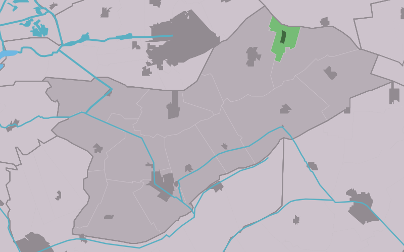
Opsterland — Opsterlân Municipality … Wikipedia
List of places in the Netherlands — This is an alphabetical list of places (cities, towns, villages) in the Netherlands. Lists per province can be found at:* List of towns in Groningen * List of towns in Friesland * List of towns in Drente * List of towns in Overijssel * List of… … Wikipedia
A7 motorway (Netherlands) — Location of the A7 motorway in the Netherlands. The A7 motorway is a motorway in the Netherlands connecting Zaandam, via the Afsluitdijk, Sneek and Groningen to the German border near Bad Nieuweschans. The entire road is part of the European… … Wikipedia
Autosnelweg A7 — Rijksweg A7/N7 Länge: 236 km Ans … Deutsch Wikipedia
Beetsterzwaag — Gemeinde Opsterland Flagge Wappen Provinz … Deutsch Wikipedia
Opsterland — Gemeinde Opsterland Flagge Wappen Provinz Friesland … Deutsch Wikipedia