- Harrachov
Geobox | Settlement
name = Harrachov
other_name =
category = Town
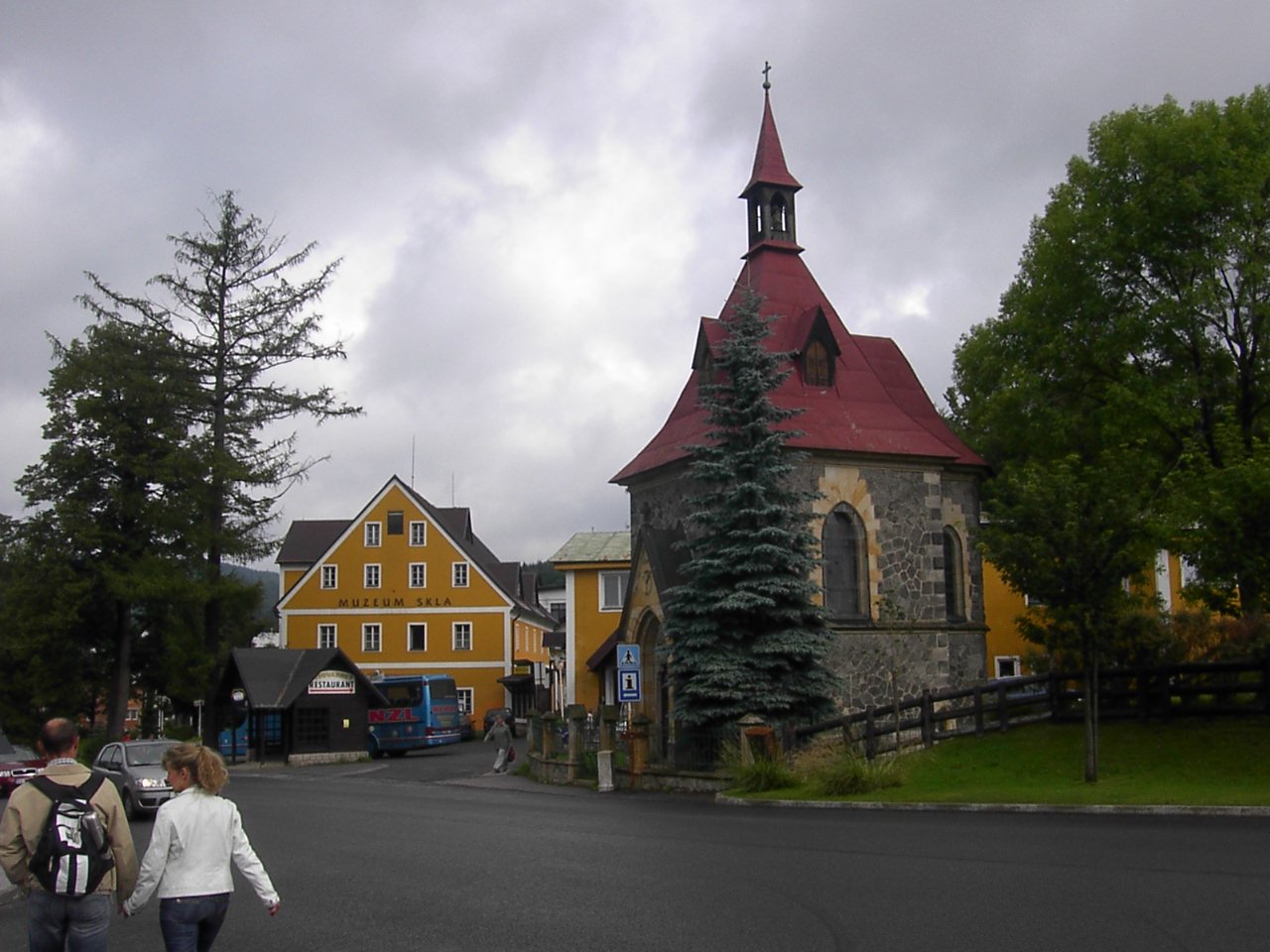
image_caption = Museum of glass and chapel in Harrachov
symbol = Harrachov_znak_mesta.jpg
etymology =
official_name =
motto =
nickname =
country = Czech Republic
country_
state =
region = Liberec
region_type = Region
district = Semily
district_type = District
commune = Tanvald
municipality =
part =
river =
location =
elevation = 665
lat_d = 50
lat_m = 46
lat_s = 23
lat_NS = N
long_d = 15
long_m = 25
long_s = 44
long_EW = E
highest =
highest_elevation =
highest_lat_d =
highest_long_d =
lowest =
lowest_elevation =
lowest_lat_d =
lowest_long_d =
area = 36.63
area_round = 2
population = 1696
population_date =
population_density = auto
established = 17th century
established_type = Founded
mayor = Václav Cajthaml
timezone =
map_background = Czechia - background map.png
map_locator = Czechia
commons = Harrachov
statistics =
website = [http://www.harrachov.cz/ www.harrachov.cz]
footnotes =Harrachov (IPA2|ˈɦaraxof; _de. Harrachsdorf) is a
town on theMumlava river in the northernCzech Republic , four km from the border withPoland . It is within the Krkonoše mountain range, about 700 metres above sea level.History
The first written reference dates back to the 17th century, when German-speaking settlers founded a village Dörfel there. In 1714 it was renamed Harrachsdorf after a local noble landowner,
Count Harrach . Since the end of 19th century Harrachsdorf has been known for itsglassworks production,textile industry, andmining . At the beginning of the 20th century, the industrial production has been bolstered by construction of railway line between Bohemian Tannwald (Tanvald ) andSilesia n Hirschberg (Jelenia Góra ). The fact that the nearest stop, Silesian Strickerhäuser (after 1945: Tkacze, after 1959: Mýtiny) was behind the Austro-Hungarian border was not a major obstacle at that time.After the Second World War, Silesia was acquired by
Poland and the border was closed. Trains from Tanvald had to terminate inKořenov , trains from Jelenia Góra were terminated in Jakuszyce (former Jakobsthal), on the northern side of the Novosvětský pass.In 1947 there were 1,553 people living in Harrachov. ["Columbia-Lippincott Gazeteer" p. 760]
Instead of opening the border, the communist governments of Czechoslovakia and Poland mastered a territory exchange. In 1959, Czechoslovakia acquired the area around Mýtiny, that allowed it to extend the cog railway Tanvald-Kořenov to the outskirts of Harrachov, Poland was compensated by land to the north from "Mrtvý vrch". Harrachov, joined by originally independent settlements "Nový Svět" and "Rýžoviště", became a town in 1973.
Today
Harrachov is one of the most important Czech centres of mountain hiking and
skiing ; severalwinter sport events take place in Harrachov regularly. The whole region is of increasing importance for alpinetourism inCentral Europe . Located near theElbe river's source in the Krkonoše, it is known for its internationally usedski jumping facilities.The international road
E65 (fromPrague to Poland) goes through the town. There is a border crossing between Harrachov and Poland at Jakuszyce.References
External links
* [http://www.harrachov.cz/default_english.asp Official website]
* [http://info.fuw.edu.pl/~michalj/kolej/izery/ Map depicting the territory exchange between Czechoslovakia and Poland]
* [http://www.zvon.de/index.php?whl=12050000&lg=en/ Map railway]


Wikimedia Foundation. 2010.