- Laniel, Quebec
Infobox Settlement
official_name = Laniel
nickname =
motto =
imagesize = 230px
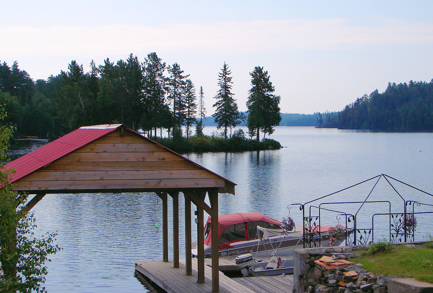
image_caption = Boathouse on Lake Kipawa at Laniel
flag_size = 120x100px
image_shield =
shield_size = 120x100px
subdivision_type = Country
subdivision_name =Canada
subdivision_type1 = Province
subdivision_name1 =Quebec
subdivision_type2 = Region
subdivision_name2 =Abitibi-Témiscamingue
established_title =
established_date =
established_title2 = Incorporation
established_date2 = October 31, 2005
government_type = Unorganized territory
leader_title =
leader_name =
area_total_km2 = 539.95
area_land_km2 = 412.27
area_water_km2 =
area_footnotes = [Total area: [http://www.mamr.gouv.qc.ca/cgi-bin/repert1.pl?region=&mrc=&geo=85905&muni= Ministère des Affaires Municipales et Régions]
Land area:Statistics Canada ]
population_as_of= 2006
population_footnotes = Statistics Canada 2006 Census]
population_total = 150
population_density_km2 = 0.4
timezone = EST
utc_offset = -5
timezone_DST = EDT
utc_offset_DST = -4
postal_code_type = Postal Code
postal_code =
latd = 47 | latm = 03 | lats = | latNS = N
longd = 79 | longm = 16 | longs = | longEW = W
elevation_footnotes=
elevation_m =
website =
footnotes =Laniel is an unorganized territory in the Témiscamingue Regional County Municipality,
Abitibi-Témiscamingue region, Quebec, Canada. It surrounds the northern portion ofLake Kipawa .Laniel is also a hamlet located within this territory at the outflow of Lake Kipawa where Route 101 crosses the
Kipawa River . It was named in honour of priest Armand Laniel (1866-1928). [cite web |title=Laniel (Territoire non organisé) |url=http://www.toponymie.gouv.qc.ca/ct/topos/carto.asp?Speci=390262&Latitude=47,05&Longitude=-79,26666&Zoom=1700 |publisher=Commission de toponymie de Québec |accessdate=2008-08-06 |language=French]Until 2005, Laniel and Lacs-du-Témiscamingue Unorganized Territories were part of the Rivière-Kipawa Unorganized Territory.
Demographics
Population:
* Population in 2006: 150
* Population in 2001: 85 (adjusted for boundary changes)Total private dwellings (excluding seasonal cottages): 72
References
Geographic Location
Centre = Laniel
North = Saint-Édouard-de-Fabre, Béarn
Northeast =
East = Les Lacs-du-Témiscamingue
Southeast =
South = Témiscaming
Southwest =
West = "Ottawa River " /Nipissing, Unorganized, North Part, Ontario
Northwest = "Ottawa River " /Timiskaming, Unorganized, West Part, Ontario
Wikimedia Foundation. 2010.