- Taro River
Infobox River | river_name = Taro
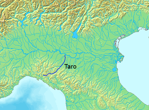
caption =Course of the Taro.
origin = Ligurian Apennines,Monte Penna
elevation = c. 1,300 m
mouth = Po nearGramignazzo (PR)
basin_countries =Italy
length = 126 km
discharge = 30 m³/s
watershed = 2,026 km²The Taro (Latin "Tarus") is a 126 km-longriver in northernItaly , tributary to thePo River . It flows almost entirely in theprovince of Parma , west of the cityParma . The Taro flows into the Po River north of Parma.The Taro
drainage basin occupies an area of 2,026 km²; the most important of its affluents are theCeno ,Recchio andStirone stream s. Both the Taro and Ceno spring fromMonte Penna (1,735 m), located in theApennine Mountains across the provinces of Genoa and Parma.The river shows strong seasonal variabilities. In summer it can easily dry, while in rainy periods it can reach a discharge of 1000 m³/s: this value can even double in occasions (called "Piene centennali", "Centennial floods"), like that of
November 9 ,1982 .The Taro Valley had a relevant strategical importance during the Middle Ages, being crossed by the
Via Francigena , the main connection betweenRome andFrance in that era.20 km of the river course between
Fornovo di Taro andPonte Taro constites the protected area of the Taro Regional Natural Park, characterized by numerous islets of sand and gravel, as well as by a large variety of vegetation and fauna.During the French conquest of Italy in the course of
Napoleonic Wars , the river gave its name to aDépartment (seeTaro (département) ).Other tributaries
Other tributaries that flow into the Taro include the "torrenti" (
stream s):*Gotra
*Tarodine External links
* [http://www.parcotaro.it/ Taro Park Website] it icon
Wikimedia Foundation. 2010.