- Viaduct Basin
Infobox New Zealand suburbs
name = Viaduct Basin
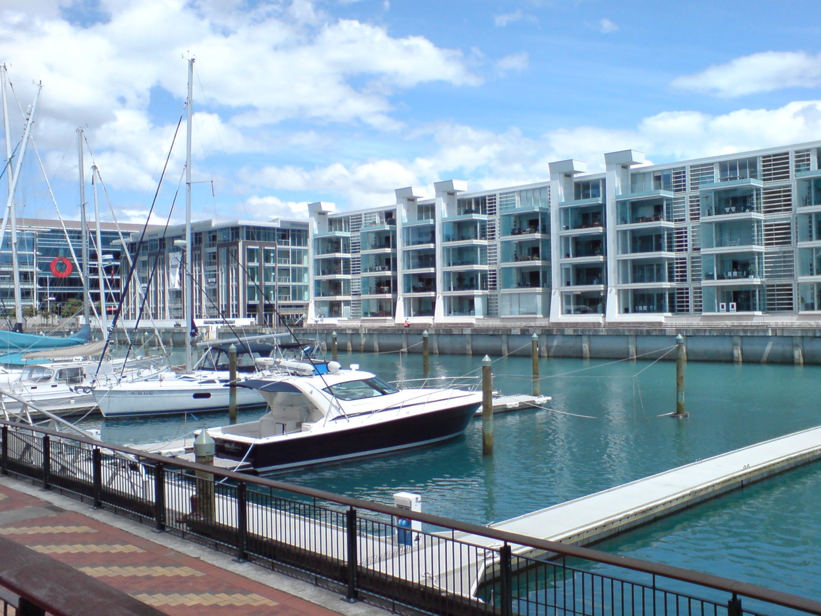
caption1 = Lighter Basin area, at the western edge of the Viaduct Basin.
city1 = Auckland City
city2 =
ward =
established = 1990s (redeveloped as a residential / entertainment area)
area =
population =
popdate =
trainstations =
ferryterminals =
airports =
hospitals =
north = (Waitemata Harbour )
northeast = (Waitemata Harbour )
east =Auckland CBD
southeast =Auckland CBD
south =Freemans Bay
southwest = Saint Marys Bay
west =Western Reclamation
northwest = (Waitemata Harbour )
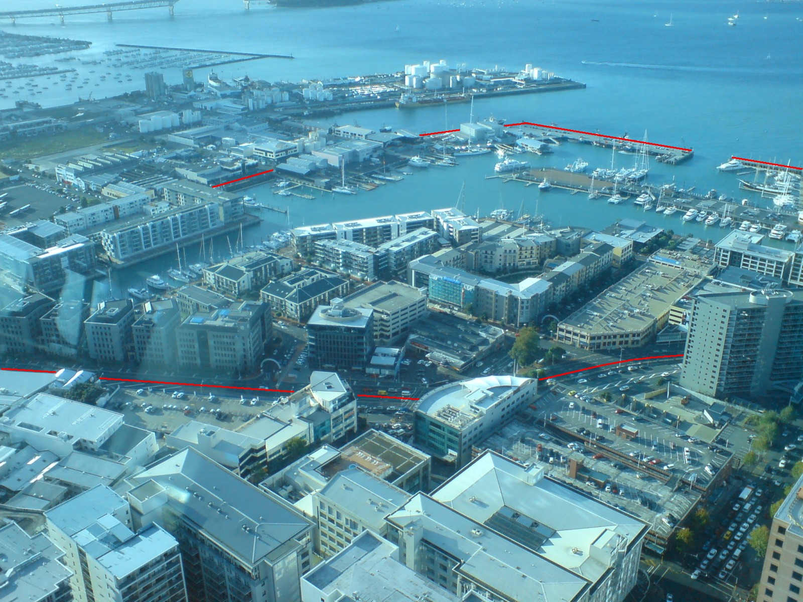
caption2 = The quarter seen from theSky Tower , with approximate boundaries shown marked in red.Viaduct Basin (often Viaduct Harbour) is a former commercial harbour on the
Auckland waterfront , now turned into a development of mostly upscale apartments," [http://www.nzherald.co.nz/feature/story.cfm?c_id=1501263&objectid=836874 It's 'sea and be seen' for Viaduct Harbour's residents ] " - "The New Zealand Herald ", Saturday 26 January 2002] office space and restaurants. It is located on the site of a formerly run-down area of theFreemans Bay /Auckland CBD waterfront inAuckland City ,New Zealand . As a centre of activity of the 2000America's Cup hosted by the Royal New Zealand Yacht Squadron, the area enjoyed considerable popularity with locals and foreign visitors.History
Original purpose
Designed along the line of the
basins common inLondon , the Viaduct Basin is so-called because of a failed scheme by theAuckland Harbour Board in the early years of the 20th Century. As the size of ships were increasing dramatically rather than to build new wharves or dredge the harbour channels, it was proposed that cargo ships moor out in the Waitamata harbour channel and be unloaded into "lighters", small barges that would then ferry the goods to shore via the specially built wharves in the new "Viaduct Lighter Basin". The shipping companies refused to co-operate and forced the Harbour Board to engage in dredging and construct new wharves.This left the newly completed lighter basin without a real purpose, so it was used to berth the various fishing boats and thus tidy up the appearance of the
Auckland waterfront further east. Next to the Viaduct Basin a fish market and various warehouses were constructed, including Turners & Growers Ltd, the city's main produce wholesalers. Timber mills were also found in the area, and te far side of the area was connected by a mechanical bridge that was able to be raised to allow passage into the basin to the fishing vessels which used it.In time, the early Europeans settlers in the area moved to other areas, especially after the motorway construction through the Victoria Park area in the 1950s, and were replaced by labourers arriving from the Pacific Islands as well as Māori newly come to the city. They were living in increasingly derelict housing.
New quarter
The development of the Viaduct Basin in the late 1990s as a mixed-use area of apartments and restaurants has been an uneven success. Some of the resulting buildings are considered very handsome, and the area was provided with a good selection of public, and semi-public spaces. In the basin itself are moored a colourful array of working boats and yachts, some of which are available for charter. The Auckland City Council has initiated a programme of public artworks for the area.
However some of the new residents of the area have objected to the use of the public spaces for events on the grounds of noise, so the attractive and expensive hard landscaping is less used than originally intended, since the area was designed as a setting for ongoing use by large crowds of people as it saw during the America's Cup in 2000. Some local residents have also objected to the high prices charged by the restaurants and shops. Noise and security issues connected with the local venues and eateries are also an ongoing concern as the Viaduct Basin continues to be a popular attraction for Auckland residents and tourists.
The local apartment owners are described as a relatively affluent and somewhat older demographic, with many using their apartments only as their 'city home' while living on places like
Waiheke Island during the weekend. Residents have also complained of the fact that few residents know each other, and that a community spirit is mostly absent in the spanking new quarter, at least in the years after development.Adjacent to the area are the National Maritime Museum, the
Tepid Baths pools, Victoria Park and the stylishPrinces Wharf development. The Auckland CBD and main waterfront areas are directly to the east of the development, while the Northern Motorway a short distance to the west allows connection to parts beyond.Future plans
Auckland City, in its plans to transform the 'Tank Farm' (a large industrial wharf area further to the west) into residential and/or park areas, has stated that it will be vital to secure the western viaduct area in public ownership (as the eastern edge already is), so that the area can be managed as a single regional facility. This would require securing the America's Cup bases plus the remaining ports areas to allow public access around the entire viaduct. [ [http://www.aucklandcity.govt.nz/council/projects/waterfront/default.asp Auckland's CBD Waterfront: 4. Halsey St and Western Viaduct] (from the
Auckland City Council website)]A 2003 proposal to rename the viaduct into 'Blake Harbour' (for Sir Peter Blake, a famous New Zealand yachtsman) was not successful.
ee also
*
Americas Cup
*Freemans Bay
*Princes Wharf References
External links
* [http://www.viaduct.co.nz The Viaduct] (from theviaduct.co.nz, a local business association, includes photos of pre-redevelopment times)
* [http://www.theviaduct.com The Viaduct] (from theviaduct.com, another local business association)
* [http://www.virtualtourist.com/travel/Australia_and_Oceania/New_Zealand/North_Island/Auckland_Region/Auckland-1884091/Things_To_Do-Auckland-Viaduct_Basin-BR-1.html Tourist reviews and images] (from virtualtourist.com)
Wikimedia Foundation. 2010.