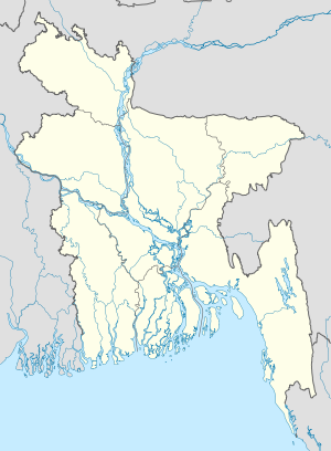
- Char Hogalpatai
-
Char Hogalpatai Location in Bangladesh Coordinates: 22°54′N 90°19′E / 22.9°N 90.317°ECoordinates: 22°54′N 90°19′E / 22.9°N 90.317°E Country  Bangladesh
Division Barisal Division District Barisal District Time zone Bangladesh Time (UTC+6) Char Hogalpatai is a village in Barisal District in the Barisal Division of southern-central Bangladesh.[1]
References
- ^ "NGA GeoName Database". National Geospatial Intelligence Agency. Archived from the original on 2008-06-08. http://web.archive.org/web/20080608190852/http://geonames.nga.mil/ggmagaz/geonames4.asp. Retrieved 2008-07-17.
Categories:- Barisal Division geography stubs
- Populated places in Barisal District
Wikimedia Foundation. 2010.

