- Dar Salah
-
Dar Salah Other transcription(s) - Arabic دار صلاح Location of Dar Salah within the Palestinian territories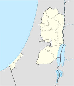
 Dar Salah
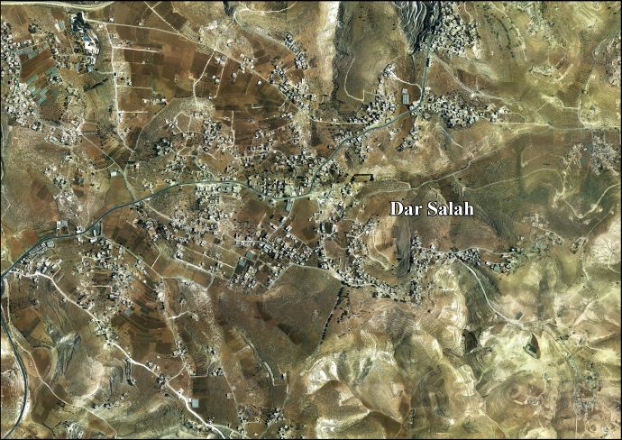
Coordinates: 31°42′42.68″N 35°15′06.12″E / 31.7118556°N 35.2517°ECoordinates: 31°42′42.68″N 35°15′06.12″E / 31.7118556°N 35.2517°E Governorate Bethlehem Government - Type Village Council Population (2007) - Jurisdiction 3,373 Dar Salah (Arabic: دار صلاح) is a Palestinian village located six kilometers east of Bethlehem.The village is in the Bethlehem Governorate Southern West Bank. According to the Palestinian Central Bureau of Statistics, the village had a population of 3,373 in 2007.[1]
Footnotes
External links
- Dar Salah Village (Fact Sheet)
- Dar Salah Village Profile
- Dar Salah Areal Photo
- The priorities and needs for development in Wadi Fukin village based on the community and local authorities’ assessment
Cities 

Municipalities Villages 'Arab al-Rashayida · Artas · al-Asakra · Beit Ta'mir · Dar Salah · Hindaza · al-'Iqab · Jab'a · Juhdum · Jurat ash Sham'a · Khirbet al-Deir · Marah Rabah · Rakhme · Umm Salamuna · ash Shawawra · Wadi al-Arayis · Wadi Fukin · al-WalajaRefugee camps Categories:- Bethlehem Governorate
- Palestine geography stubs
- Villages in the West Bank


Wikimedia Foundation. 2010.