- Hinterrugg
-
Hinterrugg 
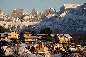
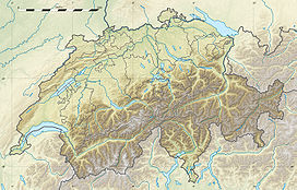
North view of the Churfirsten with the Hinterrugg on the rightElevation 2,306 m (7,566 ft) Prominence 470 m (1,542 ft) [1] Parent peak Gamsberg Location Location in Switzerland Location  Switzerland
Range Appenzell Alps Coordinates 47°9′13.2″N 9°18′17.4″E / 47.153667°N 9.304833°ECoordinates: 47°9′13.2″N 9°18′17.4″E / 47.153667°N 9.304833°E The Hinterrugg (or Hinderrugg) is the highest mountain of the Churfirsten group, located in the Appenzell Alps. It overlooks the town of Walenstadt and the lake in the canton of St. Gallen. The summit is easily accessible via the Chäserrugg cable car station (2,262 metres), above Unterwasser in Toggenburg
References
External links
Categories:- Mountains of the Alps
- Mountains of Switzerland
- Switzerland geography stubs
Wikimedia Foundation. 2010.

