Minnesota Highway 371 Bridge
- Minnesota Highway 371 Bridge
-
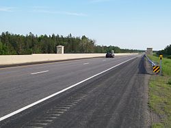
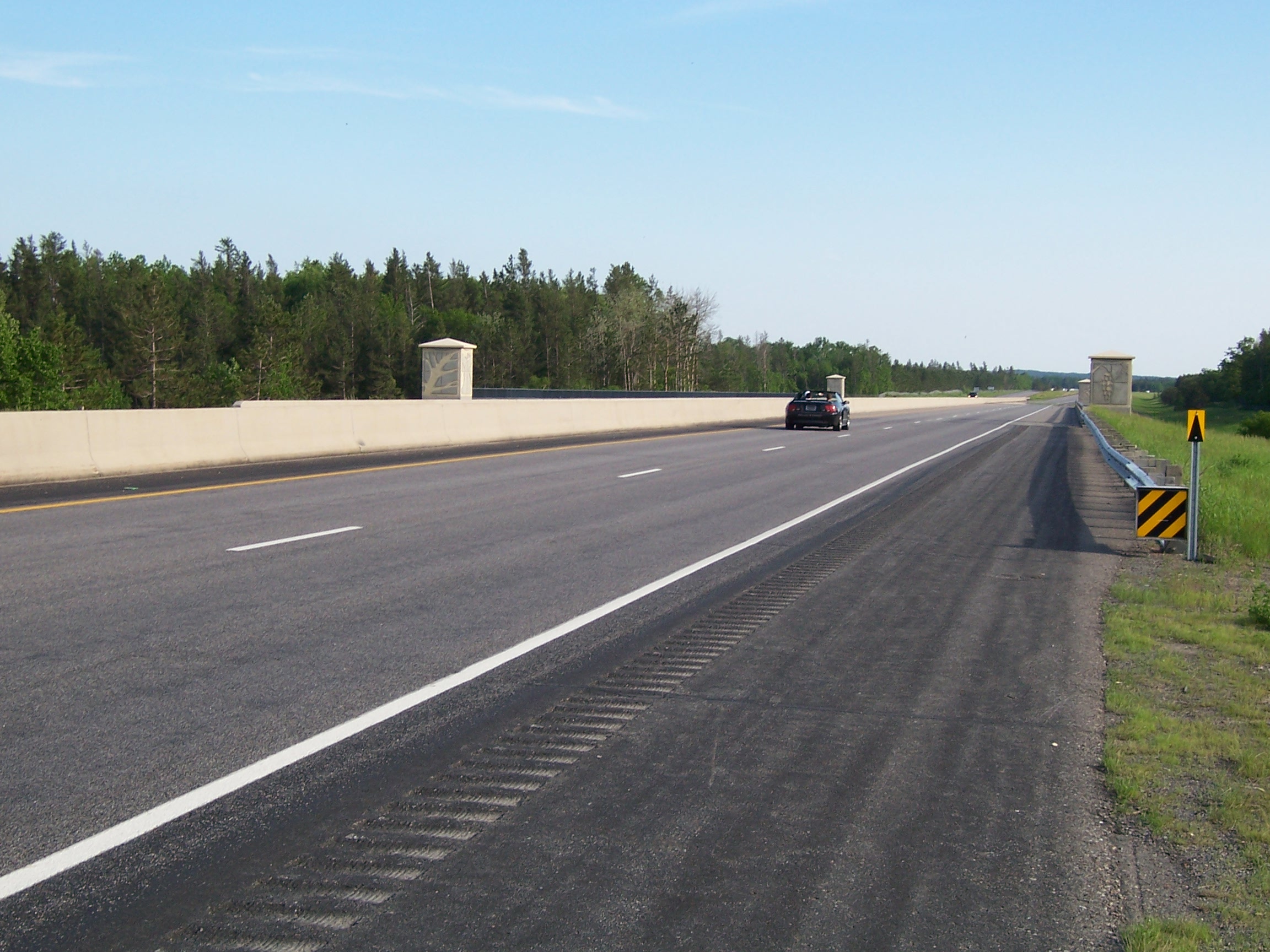
The Minnesota Highway 371 Bridge is a 4-lane bridge carrying Minnesota State Highway 371 over the Mississippi River in the town of Baxter. It opened in 2000 as part of the Hwy. 371 bypass of Brainerd.[1]
| Bridges of the Mississippi River |
|
Upstream
College Drive Bridge
|
Minnesota Highway 371 Bridge
 |
Downstream
Minnesota Highway 115 Bridge
 |
|
|
See also
References
Categories:
- Road bridges in Minnesota
- Bridges over the Mississippi River
- United States bridge (structure) stubs
- Minnesota building and structure stubs
Wikimedia Foundation.
2010.
Look at other dictionaries:
Minnesota State Highway 371 — This article is about the former routing of US 371 in Minnesota, now Minnesota State Highway 371. For the current US 371 in Arkansas and Louisiana, see U.S. Route 371. Trunk Highway 371 Route information Maintained by … Wikipedia
Minnesota State Highway 115 — Trunk Highway 115 Route information Defined by MS § 161.115(62) … Wikipedia
Minnesota State Highway 200 — Trunk Highway 200 Route information Maintained by Mn/DOT Length: 201.203 mi … Wikipedia
National Register of Historic Places listings in Cass County, Minnesota — This is a list of properties on the National Register of Historic Places in Cass County, Minnesota. See National Register of Historic Places listings in Minnesota. Map of all coordinates from Google Map of all coordinates … Wikipedia
National Register of Historic Places listings in Crow Wing County, Minnesota — This is a List of properties on the National Register of Historic Places in Crow Wing County, Minnesota. Crow Wing County is a county located in the central part of the U.S. state of Minnesota. Map of all coordinates from Google … Wikipedia
Minnesota State Highway 210 — Trunk Highway 210 Route information Maintained by Mn/DOT Length: 227.916 mi … Wikipedia
Minnesota State Highway 27 — Trunk Highway 27 Route information Maintained by Mn/DOT Length: 247.623 mi … Wikipedia
St. Anthony Falls (35W) Bridge — 44.978888888889 93.245 Koordinaten: 44° 58′ 44″ N, 93° 14′ 42″ W f1 … Deutsch Wikipedia
Transportation in Minnesota — is primarily centered on the Twin Cities metropolitan area, where 60% of its residents live; it is overseen by the Minnesota Department of Transportation, a cabinet level agency of the state government.Ground transportationAlmost all north south… … Wikipedia
National Register of Historic Places listings in White County, Arkansas — Location of White County in Arkansas This is a list of the National Register of Historic Places listings in White County, Arkansas. This is intended to be a complete list of the properties and districts on the National Register of Historic Places … Wikipedia