- Manirang
-
Manirang 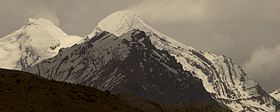
Manirang peak from NW directionElevation 6,593 m (21,631 ft) [1] Prominence 1,727 m (5,666 ft) [1] Listing Ultra Location Himachal Pradesh, India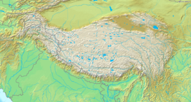
 Manirang
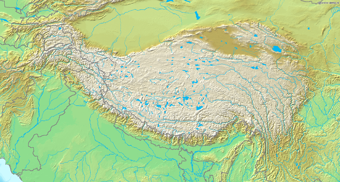
Range Himalaya Coordinates 31°57′12″N 78°22′00″E / 31.95333°N 78.3666667°ECoordinates: 31°57′12″N 78°22′00″E / 31.95333°N 78.3666667°E[1] Climbing First ascent 1952, Dr. J. de V. Graaff[2] Manirang is one of the highest mountains in the Indian state Himachal Pradesh. It lies on the border between Kinnaur district and Lahaul and Spiti district. Close to the peak is the high Manirang pass, which was one of the early trade routes between Spiti and Kinnaur, before the motorable road was built.
References
- ^ a b c http://peaklist.org/WWlists/ultras/karakoram.html
- ^ Harish Kapadia, High Himalaya Unknown Valleys, fourth edition (Indus Publishing Company, New Delhi, 2001) ISBN 81-7387-117-5
Categories:- Mountains of Himachal Pradesh
- Himachal Pradesh geography stubs

Wikimedia Foundation. 2010.