- Kurravaara
Infobox Settlement
official_name = Kurravaara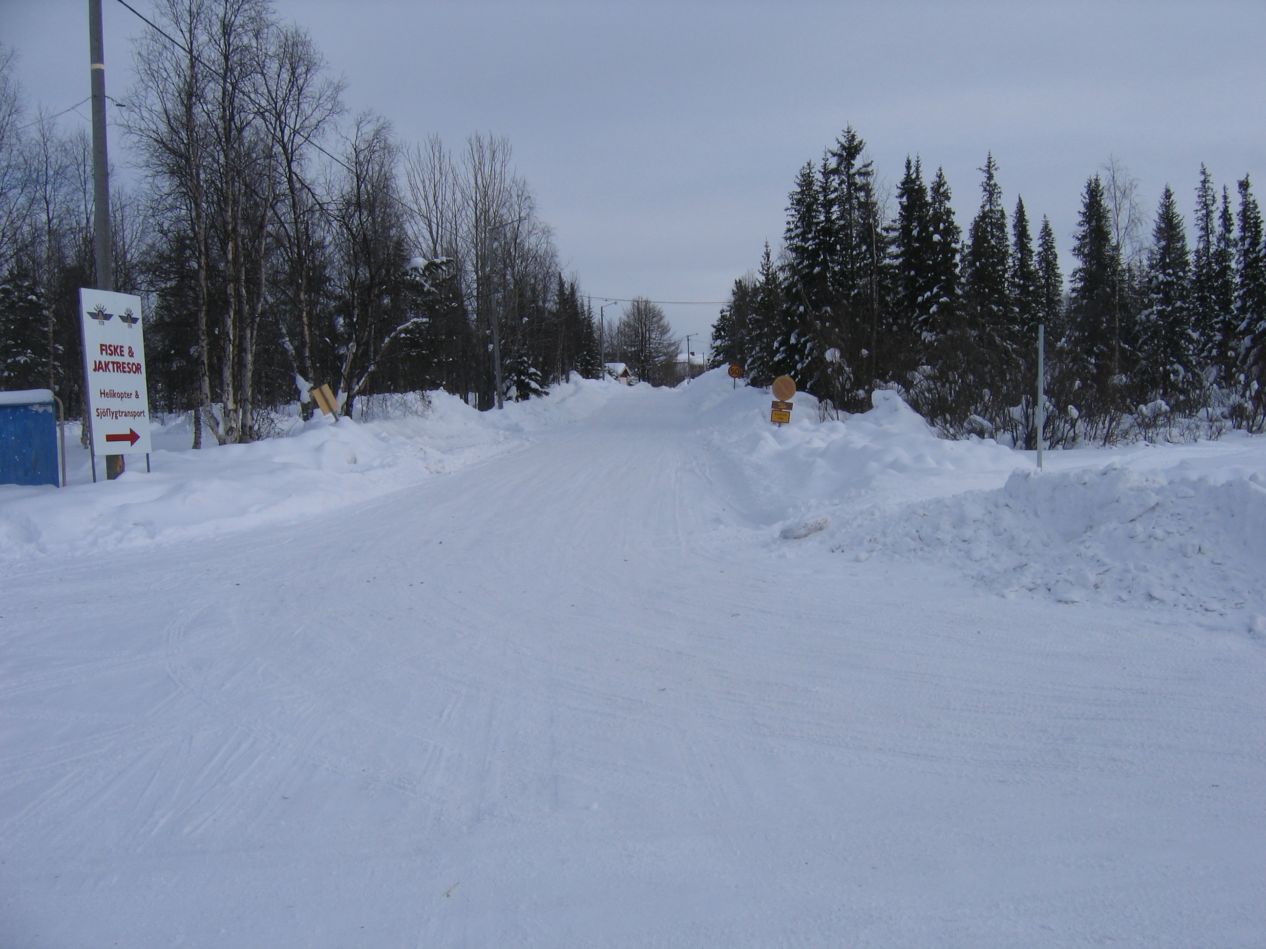
image_caption = Kurravaara in winter
image_shield =
pushpin_
subdivision_type = Country
subdivision_name =Sweden
subdivision_type1 = Municipality
subdivision_name1 =Kiruna Municipality
subdivision_type2 = County
subdivision_name2 =Norrbotten County
subdivision_type3 = Province
subdivision_name3 = Lapland
established_date3 = 1700
established_title3 =
area_total_km2 = 0.15
population_as_of = 2006-12-31
population_footnotes = [http://www.kommun.kiruna.se/Om-kommunen/English/Villages-Surrounding-Kiruna/ Villages surrounding Kiruna] ]
population_total = 266
population_density_km2 =
elevation_m = 340
timezone = CET
utc_offset = +1
timezone_DST = CEST
utc_offset_DST = +2
latd=67 |latm=57 |lats= |latNS=N
longd=20|longm=21 |longs= |longEW=E
website = [http://www.kurravaara.com www.kurravaara.com]Kurravaara (
Northern Sami : Gurravárri) is a village 12km north ofKiruna in Norrbotten Country,Sweden .It is the first (highest upstream) village at theTorne River atKallojärvi at 322 meter and is also close to theRautas River .Near the end of the 17th century, copper was found in
Shangeli and a foundry was placed at what was to become Kurravaara.It is now a popular place for people who want to live close to nature but also close to KirunaReferences

Wikimedia Foundation. 2010.