- Dampremy
-
Dampremy — Former municipality of Belgium — 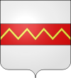
Coat of armsLocation in the municipality of Charleroi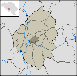 Location in Belgium
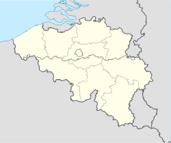
 Dampremy
Coordinates: 50°24′N 4°26′E / 50.4°N 4.433°ECoordinates: 50°24′N 4°26′E / 50.4°N 4.433°E Country  Belgium
Region  Wallonia
Community French CommunityProvince  Hainaut
Municipality  Charleroi
Area - Total 1.1 sq mi (2.77 km2) Population (2001) - Total 8,566 Time zone CET (UTC+1) - Summer (DST) CEST (UTC+2) Postal code 6020 Area code(s) 071 Dampremy is a section of the Belgian town of Charleroi within the Walloon region in the Province of Hainaut. It was a commune of its own before the merger of the communes in 1977.
-
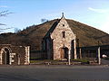
Saint-Ghislain chapel.
-

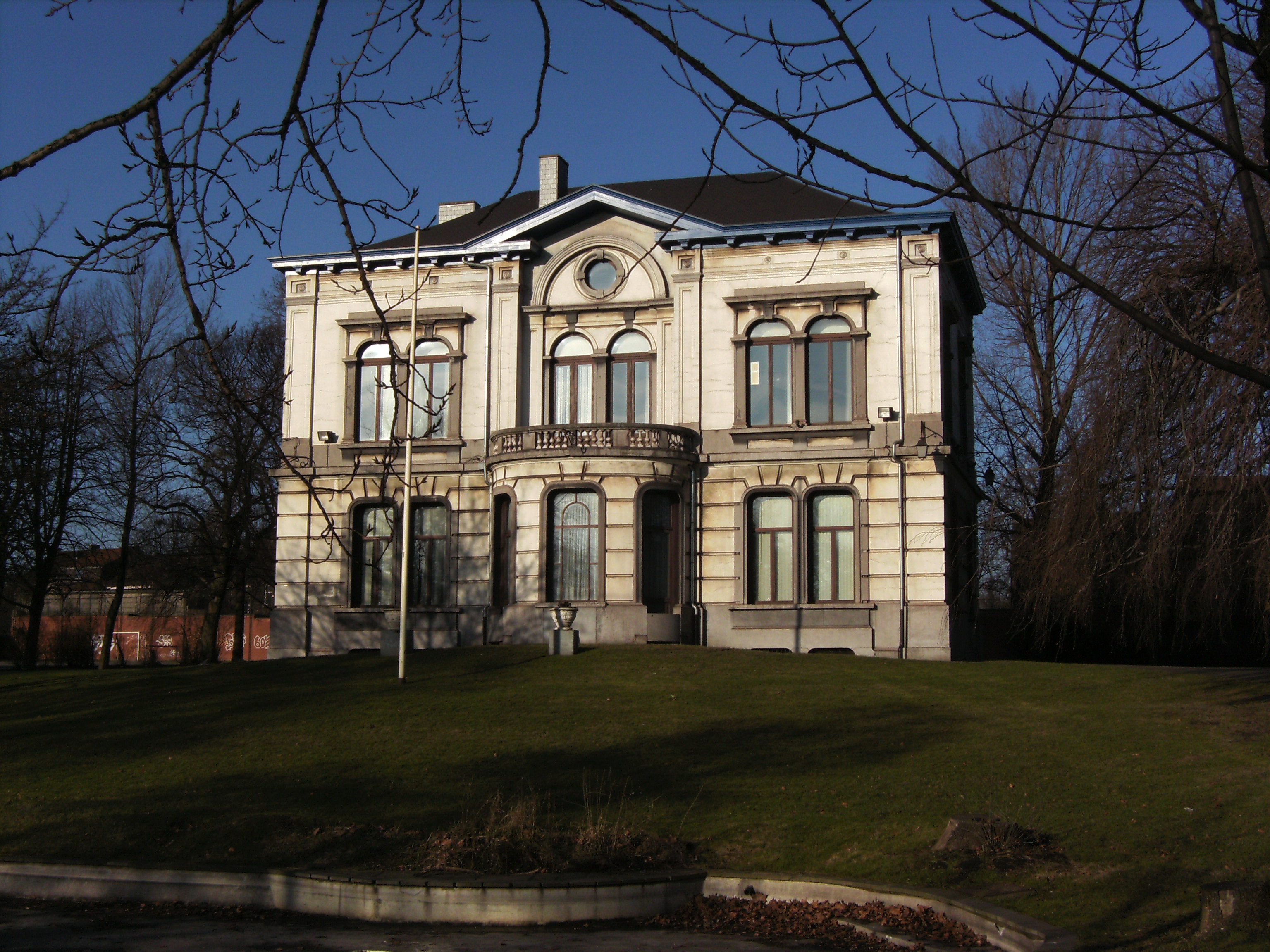
Former town hall.
Categories:- Hainaut geography stubs
- Charleroi
-


Wikimedia Foundation. 2010.