Monterey Formation

Monterey Formation
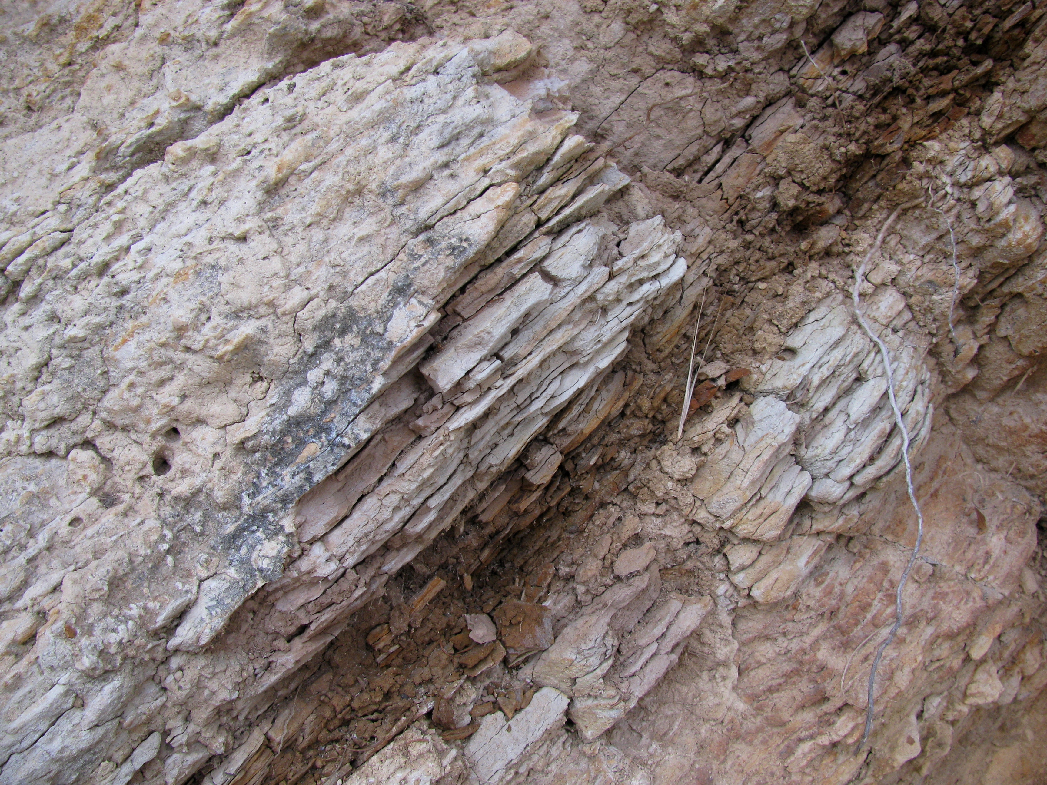
Outcrop of Monterey Formation, Gaviota State Park, California.

The Monterey Formation is an extensive Miocene oil-rich geological sedimentary formation in California, with massive outcroppings of the formation in areas of the California Coast Ranges, Peninsular Ranges, and on some of California's off-shore islands. The formation, as a major oil-producing geological formation, has had its strata extensively investigated and mapped for petroleum exploration and is of major importance to understanding the complex geological history of the state of California. Its rocks are mostly highly siliceous strata that vary greatly in composition, stratigraphy, and tectono-stratigraphic history.

The Monterey Formation strata vary distinctly between its lower Miocene members showing indications of poor coastal upwelling with fossil assemblages and calcareous-siliceous rocks formed from diatoms and coccolithophorids, to its middle and upper Miocence upwelling-rich assemblages and its unique highly siliceous rocks from diatom-rich planktons forming diatomites, porcelainites, and banded cherts.[1]

References

  1. ^ Burnett, William C.; Stanley R. Riggs (editors) (1990-05-25). Phosphate Deposits of the World: Volume 3, Neogene to Modern Phosphorites (Cambridge Earth Science Series). Cambridge University Press. ISBN 0521333709. 

External links


Wikimedia Foundation. 2010.

Игры ⚽ Нужно решить контрольную?

Look at other dictionaries:

  • Monterey (disambiguation) — See also: Monterrey (disambiguation) Monterey may also refer to: Contents 1 Places 1.1 In Australia 1.2 In Ca …   Wikipedia

  • Presidio de monterey — Le Presidio de Monterey aux environs de 1791 Le Presidio de Monterey, situé à Monterey, en Californie, aux États Unis d Amérique; est une installation de l armée de terre américaine qui abrite aussi le Defense Language Institute Foreign Language… …   Wikipédia en Français

  • Presidio de Monterey — 36° 36′ 14″ N 121° 54′ 42″ W / 36.604, 121.9117 …   Wikipédia en Français

  • SS Monterey — The SS Monterey was a luxury ocean liner launched October 10 1931; one of four ships in the Matson Lines White Fleet which included SS Malolo , SS Mariposa and SS Lurline . Monterey , the third of four Matson ships designed by William Francis… …   Wikipedia

  • Lost Hills Oil Field — In 1998, one of the field s gas wells was the site of a spectacular blowout, producing a pillar of fire which burned for 14 days and was visible more than convert|40|mi|km away. [ [http://www.geocities.com/mudsmeller/gushers.html The Bellevue… …   Wikipedia

  • Orcutt Oil Field — Location of the Orcutt Oil Field in southern and central California. Other oil fields are shown in dark gray. The Orcutt Oil Field is a large oil field in the Solomon Hills south of Orcutt, in Santa Barbara County, California. Discovered in 1901… …   Wikipedia

  • Temblor Range — The Temblor Range lies at the southwestern end of the San Joaquin Valley in California in the United States. It runs in a northwest southeasterly direction along the borders of Kern County and San Luis Obispo County. The name of the range is from …   Wikipedia

  • South-Cuyama-Ölfeld — im Santa Barbara County, Kalifornien. Andere Ölfelder in der Umgebung sind grau gekennzeichnet. Das South Cuyama Ölfeld ist ein ausgedehntes Abbaugebiet für Erdöl und Erdgas im Cuyama Valley und den benachbarten Ausläufern der Sierra Madre… …   Deutsch Wikipedia

  • South Cuyama Oil Field — The South Cuyama Oil Field is a large oil and gas field in the Cuyama Valley and the adjacent northern foothills of the Sierra Madre Mountains in northeastern Santa Barbara County, California. Discovered in 1949, and with a cumulative production… …   Wikipedia

  • Cristobalite — spheres formed via devitrification (loss of silica) from the obsidian matrix (California, USA) 5.9×3.8×3.8 cm. General Category Silicate mineral …   Wikipedia

Share the article and excerpts

Direct link
Do a right-click on the link above
and select “Copy Link”