Barmbek railway station

Barmbek railway station

Infobox Station
name=Barmbek
type=Rapid transit


image_size=
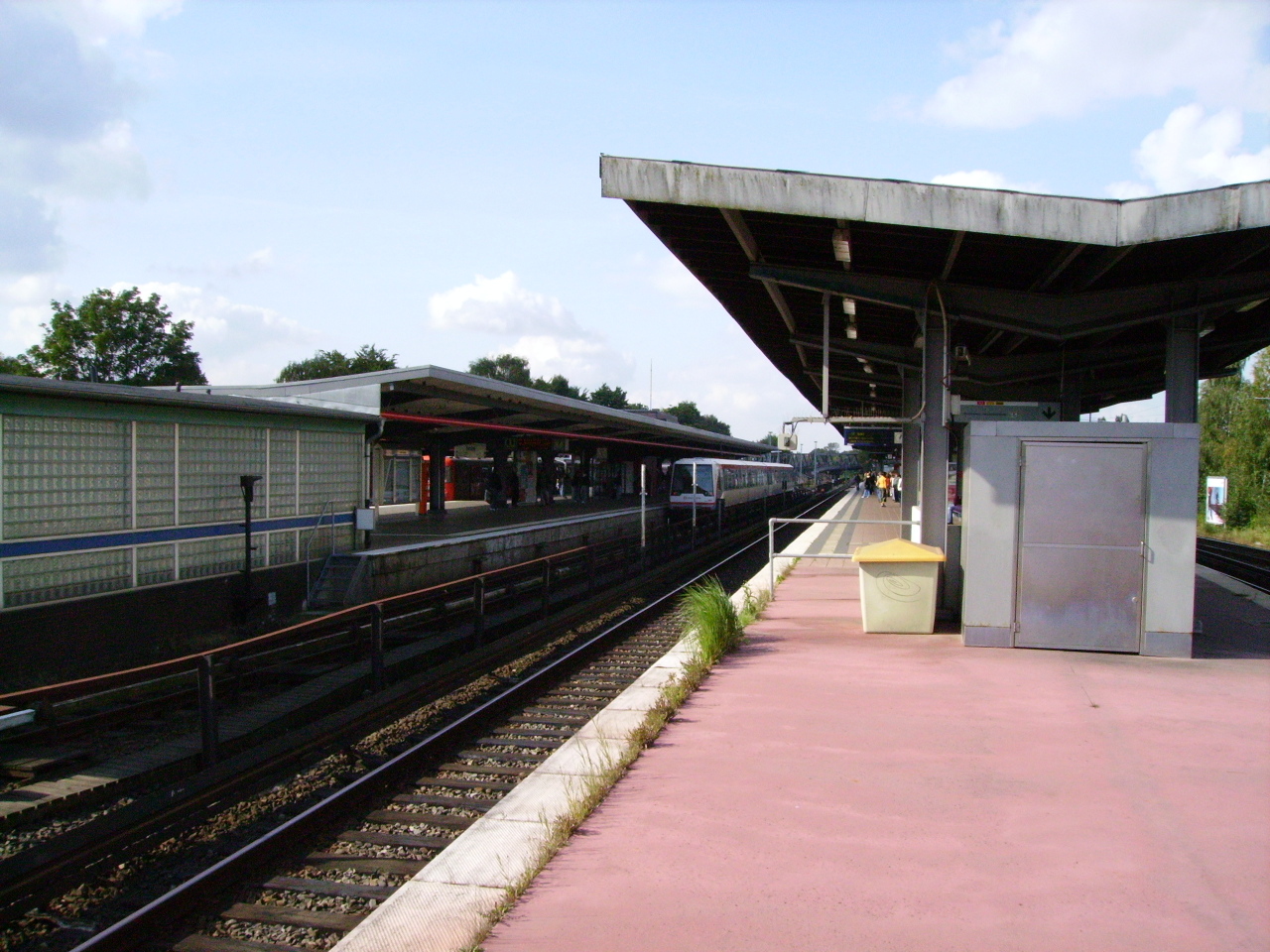
image_caption=Platforms of Barmbek station in 2008.
address=Fuhlsbüttler Str. 91 22305 Hamburg, Germany
coordinates=
line=
other=Buses
structure=Elevated
platform=3
depth=
levels=
tracks=6
parking=Park and ride
bicycle=
baggage_check=No
opened=
closed=
rebuilt=
electrified=
ADA=yes
code=
owned=
zone=
former=
passengers=
pass_year=
pass_percent=
pass_system=
mpassengers=
services=
map_locator=

Barmbek is a terminus for the rapid transit trains of the line U3, trains of the line U2 of the underground railway and of the lines S1 and S11 of the city trains calls the railway station located in Hamburg, Germany.

The part of the station for the city trains is listed as "Barmbek (S-Bahn)", No. 0376 and category 4 by the Deutsche Bahn. The DS 100 code is ABAG. [Name, station code and category: Liste Bahnhofskategorie 2008, DB Station&Service AG, Köthener Straße 2, 10963 Berlin (2008) de icon]

tation layout

Barmbek railway station is transportation hub with a elevated railway station and a bus station for several bus lines in front of it. There are 6 tracks with 3 platforms. In the at-grade entrance level are several shops but no lockerboxes. The station is fully accessible for handicapped persons.

ee also

*Hamburger Verkehrsverbund

References

External links

* [http://www.db.de/site/bahn/de/reisen/service/bahnhofssuche/bahnhofsdaten__filter,variant=details,recordId=412.html?c252936=Barmbek DB station information] de icon


Wikimedia Foundation. 2010.

Игры ⚽ Поможем сделать НИР

Look at other dictionaries:

  • Bahnhof Hamburg-Barmbek — Hamburg Barmbek Bahnsteige Daten Kategorie 4 Betriebsart …   Deutsch Wikipedia

  • Hamburg U-Bahn — Infobox Public transit name = Hamburg U Bahn imagesize = 70px locale = Hamburg transit type = Rapid transit began operation = 1912 ended operation = system length = km to mi|100.7|abbr=yes|precision=1 lines = 3 vehicles = stations = 89 ridership …   Wikipedia

  • Cross-platform interchange — A diagram of a paired cross platform interchange The former and current tr …   Wikipedia

  • Bahnhof Hamburg Sternschanze — Hamburg Sternschanze Bahnhof mit der modernisierten Fassade des Empfangsgebäudes von 1903 Daten Kategorie 3  …   Deutsch Wikipedia

  • Niendorf, Hamburg — Niendorf Quarter of Hamburg Niendorf market area (car free zone) …   Wikipedia

  • Ottensen — Quarter of Hamburg Ottenser Hauptstraße (Car free zone) …   Wikipedia

  • Hamburg — This article is about the German city. For other uses, see Hamburg (disambiguation). Free and Hanseatic City of Hamburg Freie und Hansestadt Hamburg   State of Germany   …   Wikipedia

  • Metrolinie — Logo der U Bahn U Bahnschild in Wien Die U Bahn, auch Untergrundbahn oder im Ausland Metro genannt, ist ein zu den Bahnen gehöriges öffentliches Nahverkehrsmittel (ÖPNV …   Deutsch Wikipedia

  • Ubahn — Logo der U Bahn U Bahnschild in Wien Die U Bahn, auch Untergrundbahn oder im Ausland Metro genannt, ist ein zu den Bahnen gehöriges öffentliches Nahverkehrsmittel (ÖPNV …   Deutsch Wikipedia

  • Untergrundbahn — Logo der U Bahn U Bahnschild in Wien Die U Bahn, auch Untergrundbahn oder im Ausland Metro genannt, ist ein zu den Bahnen gehöriges öffentliches Nahverkehrsmittel (ÖPNV …   Deutsch Wikipedia

Share the article and excerpts

Direct link
Do a right-click on the link above
and select “Copy Link”