- Mathersgrave
-
Coordinates: 53°07′34″N 1°27′54″W / 53.126°N 1.465°W
Mathersgrave 
Junction of Mathers Grave Lane and School Lane.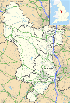
 Mathersgrave
Mathersgrave shown within DerbyshireOS grid reference SK358588 District North East Derbyshire Shire county Derbyshire Region East Midlands Country England Sovereign state United Kingdom Post town ALFRETON Postcode district DE55 Police Derbyshire Fire Derbyshire Ambulance East Midlands EU Parliament East Midlands List of places: UK • England • Derbyshire Mathersgrave is a hamlet in Derbyshire, England. It consists of three houses on Mathers Grave Lane. This lane runs between the A615 Matlock road and School Lane, Brackenfield. The hamlet is located 5 miles north-west of Alfreton.
A highwayman named Mather was reputedly hung and buried at the crossroads (a traditional punishment)on Mather's Grave Lane. There is a weatherworn stone referring to the event set into one of the walls at the crossroads. Bones are said to have been found during road repairs in the 1920's. Some information is held at Matlock, in the Derbyshire County Records Office.
Categories:- Derbyshire geography stubs
- Hamlets in Derbyshire


Wikimedia Foundation. 2010.