- Mogorjelo
-
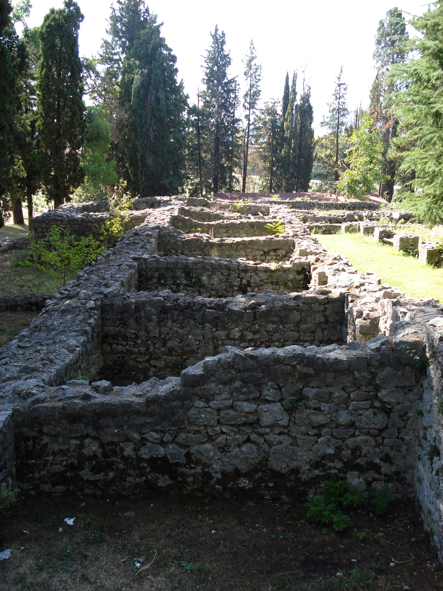
 Mogorjelo ancient Roman suburban Villa Rustica from the 4th century, near Čapljina, Bosnia and Herzegovina.
Mogorjelo is a Roman villa rustica that dates from the early fourth century. It is situated on a hill off the Neretva branch, 5 km south of Čapljina, alongside the road to Gabela in Bosnia and Herzegovina.[1]
History
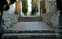 Mogorjelo ancient Roman suburban Villa Rustica from the 4th century, near Čapljina, Bosnia and Herzegovina.
An Italic settler had a private manor complex built for agricultural purposes on the Mogorjelo site in the mid first century CE.[1] He located the building designed for processing agricultural produce (villa rustica fructuaria) on a salient on the hill (the ground plan of the villa lies near the north or main gate of the walls of later date), and the residential building (villa rustica habitatoria) on the south slope exposed to the sun.[1] This building burned down in the third century.[1] In the early fourth century, a state-owned estate was constructed over the ruins, with a villa which now forms the major feature of the complex.[1] During the third century the property probably changed hands to become state-owned. The villa at Mogorjelo supplied the town of Narone, the ruins of which lie in the village of Vido near Metković.[1] The estate was destroyed in a major fire.[1] The latest coins discovered on this site, in a layer of soot, were minted by Honorius in 388, so that it may be assumed that Mogorjelo fell into enemy hands some time between 401 and 403 with the Visigoth invasion of these parts.[1] Life continued in these new circumstances. In the mid fifth century, two basilicas were erected within the ruined perimeter walls in the north-eastern corner of the former villa, first one to the north and immediately thereafter the one to the south.[1] To judge from various conversion works within the buildings, it appears that they were converted to residential use.[1] Some items of Carolingian provenance, dating from the ninth century, have been found in the round tower and adjacent premises.[1] Burials took place all over the site and its surroundings from the period of construction of late antique churches to the nineteenth century.[1]
References
Categories:- 1st-century architecture
- 4th-century architecture
- Roman villa
- History of Bosnia and Herzegovina
- Roman sites in Bosnia and Herzegovina
- Ancient Roman buildings and structures in Bosnia and Herzegovina

Wikimedia Foundation. 2010.