- Bridgeton Township, Pennsylvania
Geobox Township
name = Bridgeton Township
native_name =
other_name =
other_name1 =
category = Township
image_size =
image_caption =
flag_size =
symbol =
symbol_size =
nickname =
motto =
country = United States
state = Pennsylvania
region = Bucks
region_type = County
district =
area_imperial = 6.7
area_land_imperial = 6.5
area_water_imperial = 0.2
area_water_percentage = auto
area_percentage_round = 2
area_round = 1
location =
lat_d = 40
lat_m = 33
lat_s = 29
lat_NS = N
long_d = 75
long_m = 06
long_s = 37
long_EW = W
elevation_imperial = 568
elevation_round = 1
population_as_of = 2000
population = 1408
population_density_imperial = 217.5
population_density_round = 1
government_type =
government =
established_type =
established =
mayor =
timezone = EST
utc_offset = -5
timezone_DST = EDT
utc_offset_DST = -4
postal_code =
postal_code_type =
area_code = 610
area_code_type =
code2_type =
code2 =
free_type =
free =
free1_type =
free1 =
map_size =
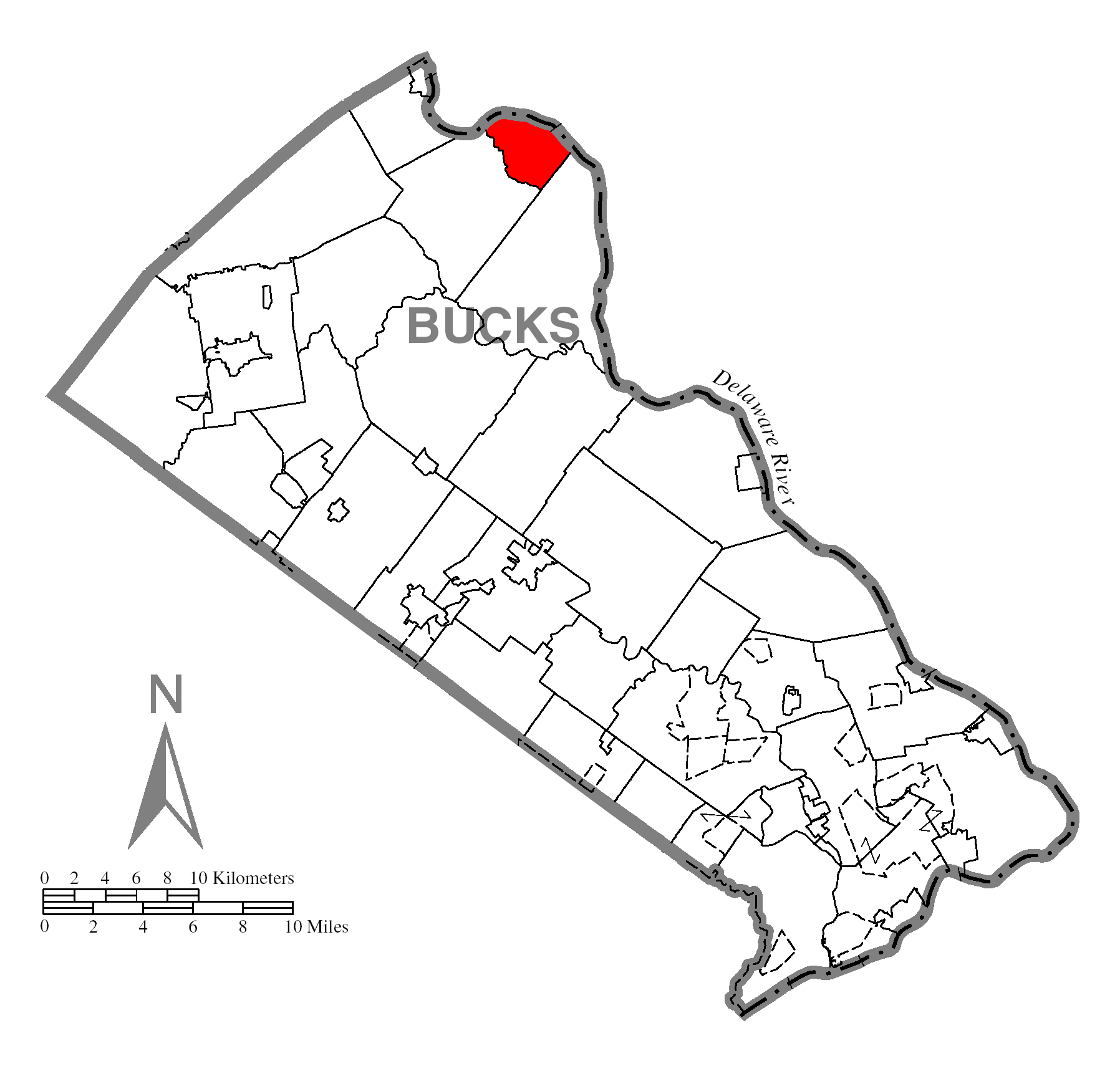
map_caption = Location of Bridgeton Township in Bucks County
map1 = Pennsylvania Locator Map.png
map1_caption = Location of Bridgeton Township in Pennsylvania
map1_locator = Pennsylvania
map2 = Map of USA PA.svg
map2_caption = Location of Pennsylvania in the United States
website =Bridgeton Township is a township in Bucks County,
Pennsylvania ,United States . The population was 1,408 at the 2000 census. The township was originally a part of adjacent Nockamixon Township, but a division was arranged and signed on 1890. This accord split an area of Nockamixon which ran west from the banks of theDelaware River to about one third the breadth of the original township. This smaller area was unsurprisingly named "Bridgeton", as it was the site of wooden truss bridge which connected the towns ofUpper Black Eddy and Milford,New Jersey . The township originally contained several tiny hamlets, such as the aforementioned Upper Black Eddy, Narrowsville, and Ruppsville. Upper Black's Eddy, as it was originally called, and Raubsville were named for notable landholders, while Narrowsville was named for a particularly thin portion of the Delaware river. With the construction of a centralized post office in Upper Black Eddy, the usage of separate names for the smaller towns ceased in an official capacity, and the everyday errands of residents became centered around the largest of the towns. What little commercial trade exists in the township is now centered solely in Upper Black Eddy, with any evidence of there being any distinctive, smaller villages existing only on outdated road-signs and maps.Ringing Rocks Park is located within the township, as well as state game hunting lands.Geography
According to the
United States Census Bureau , the township has a total area of 6.7square mile s (17.4km² ), of which, 6.5 square miles (16.8 km²) of it is land and 0.2 square miles (0.6 km²) of it (3.43%) is water.Demographics
As of the
census GR|2 of 2000, there were 1,408 people, 559 households, and 398 families residing in the township. Thepopulation density was 217.5 people per square mile (84.0/km²). There were 612 housing units at an average density of 94.6/sq mi (36.5/km²). The racial makeup of the township was 99.15% White, 0.43% African American, 0.07% Native American, 0.28% Asian, and 0.07% from two or more races. Hispanic or Latino of any race were 0.85% of the population.There were 559 households out of which 29.3% had children under the age of 18 living with them, 59.7% were married couples living together, 8.2% had a female householder with no husband present, and 28.8% were non-families. 21.3% of all households were made up of individuals and 7.3% had someone living alone who was 65 years of age or older. The average household size was 2.52 and the average family size was 2.97.
In the township the population was spread out with 22.4% under the age of 18, 5.8% from 18 to 24, 29.0% from 25 to 44, 29.8% from 45 to 64, and 13.0% who were 65 years of age or older. The median age was 41 years. For every 100 females there were 99.4 males. For every 100 females age 18 and over, there were 100.9 males.
The median income for a household in the township was $52,083, and the median income for a family was $53,958. Males had a median income of $36,765 versus $29,338 for females. The
per capita income for the township was $23,779. About 4.3% of families and 4.9% of the population were below thepoverty line , including 8.4% of those under age 18 and 6.5% of those age 65 or over.References
Wikimedia Foundation. 2010.