- Donnington, West Sussex
-
Coordinates: 50°48′42″N 0°47′17″W / 50.81174°N 0.78796°W
Donnington 
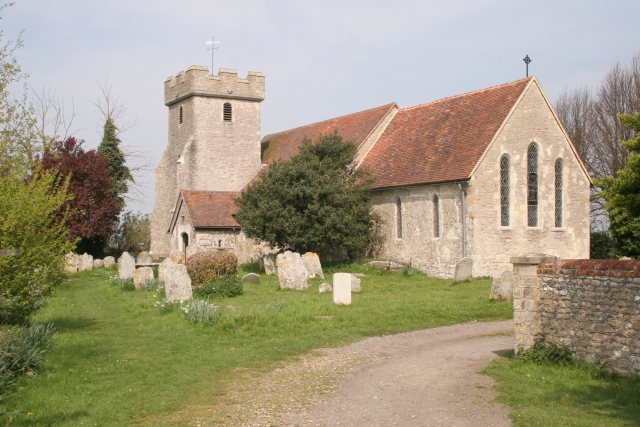
St George's Church
 Donnington
Donnington shown within West SussexArea 4.52 km2 (1.75 sq mi) [1] Population 1,949 [1] 2001 Census - Density 431 /km2 (1,120 /sq mi) OS grid reference SU854020 - London 56 miles (90 km) NNE Parish Donnington District Chichester Shire county West Sussex Region South East Country England Sovereign state United Kingdom Post town CHICHESTER Postcode district PO20 Dialling code 01243 Police Sussex Fire West Sussex Ambulance South East Coast EU Parliament South East England UK Parliament Chichester Website http://www.donningtonpc.org.uk/ List of places: UK • England • West Sussex Donnington is a small village and civil parish in the Chichester district of West Sussex, England. The village lies on the B2201 road, two miles (3 km) south of Chichester. The northern part of the parish comprises the Stockbridge area of the City of Chichester.
The village lies on the Chichester Canal. The parish is also home to the Sussex Falconry Centre.
References
- ^ a b "2001 Census: West Sussex – Population by Parish". West Sussex County Council. http://www.westsussex.gov.uk/communityandliving/census2001/pop_parish_summary.pdf. Retrieved 12 April 2009.
External links
Categories:- Villages in West Sussex
- West Sussex geography stubs

Wikimedia Foundation. 2010.