- Wharton, Ohio
Infobox Settlement
official_name = Wharton, Ohio
settlement_type = Village
nickname =
motto =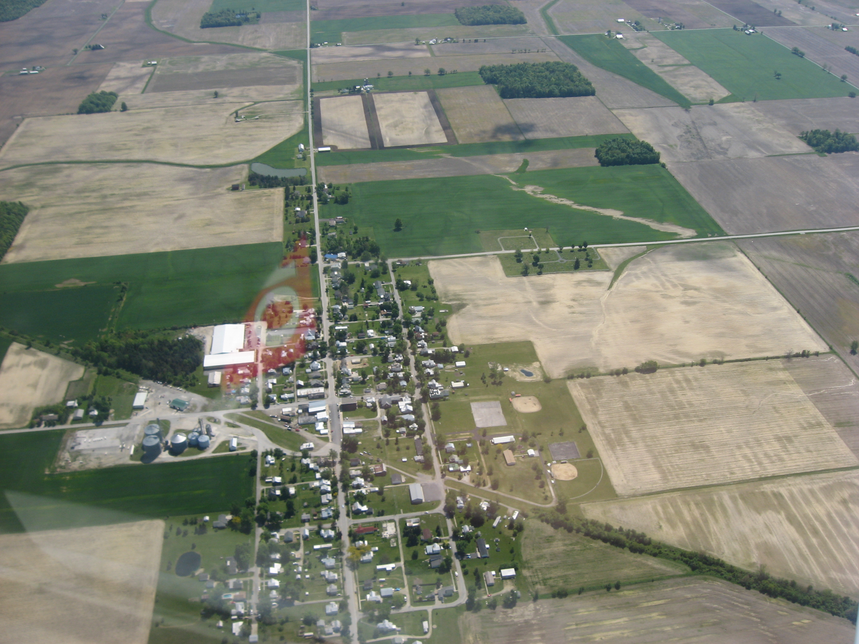
imagesize = 250px
image_caption = Aerial view of Wharton
image_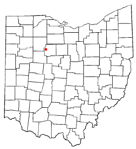
mapsize = 250px
map_caption = Location of Wharton, Ohio
mapsize1 =
map_caption1 =subdivision_type = Country
subdivision_name =United States
subdivision_type1 = State
subdivision_name1 =Ohio
subdivision_type2 = County
subdivision_name2 = Wyandotgovernment_footnotes =
government_type =
leader_title =
leader_name =
leader_title1 =
leader_name1 =
established_title =
established_date =unit_pref = Imperial
area_footnotes =area_magnitude =
area_total_km2 = 3.3
area_land_km2 = 3.3
area_water_km2 = 0.0
area_total_sq_mi = 1.3
area_land_sq_mi = 1.3
area_water_sq_mi = 0.0population_as_of = 2000
population_footnotes =
population_total = 409
population_density_km2 = 125.3
population_density_sq_mi = 325.3timezone = Eastern (EST)
utc_offset = -5
timezone_DST = EDT
utc_offset_DST = -4
elevation_footnotes =
elevation_m =
elevation_ft =
latd = 40 |latm = 51 |lats = 39 |latNS = N
longd = 83 |longm = 27 |longs = 48 |longEW = Wpostal_code_type =
ZIP code
postal_code = 43359
area_code = 419
blank_name =
blank_info =
blank1_name =
blank1_info =
website =
footnotes =Wharton is a village in Wyandot County,
Ohio ,United States . The population was 409 at the 2000 census.Geography
Wharton is located at coor dms|40|51|39|N|83|27|48|W|city (40.860729, -83.463398)GR|1.
According to the
United States Census Bureau , the village has a total area of 1.3square mile s (3.3km² ), all of it land.Demographics
As of the
census GR|2 of 2000, there were 409 people, 145 households, and 114 families residing in the village. Thepopulation density was 325.3 people per square mile (125.3/km²). There were 153 housing units at an average density of 121.7/sq mi (46.9/km²). The racial makeup of the village was 99.51% White, 0.24% Native American and 0.24% Asian. Hispanic or Latino of any race were 0.24% of the population.There were 145 households out of which 42.1% had children under the age of 18 living with them, 65.5% were married couples living together, 9.7% had a female householder with no husband present, and 20.7% were non-families. 19.3% of all households were made up of individuals and 7.6% had someone living alone who was 65 years of age or older. The average household size was 2.82 and the average family size was 3.16.
In the village the population was spread out with 31.3% under the age of 18, 7.3% from 18 to 24, 30.8% from 25 to 44, 17.1% from 45 to 64, and 13.4% who were 65 years of age or older. The median age was 33 years. For every 100 females there were 96.6 males. For every 100 females age 18 and over, there were 97.9 males.
The median income for a household in the village was $38,000, and the median income for a family was $40,833. Males had a median income of $31,389 versus $22,813 for females. The
per capita income for the village was $14,645. About 0.9% of families and 2.6% of the population were below thepoverty line , including 3.4% of those under age 18 and none of those age 65 or over.References
External links
Wikimedia Foundation. 2010.