- Calverton, New York
Infobox Settlement
official_name = Calverton, New York
settlement_type = CDP
nickname =
motto =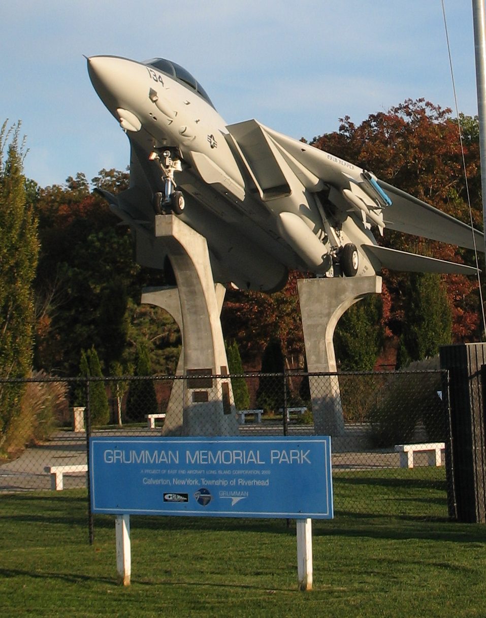
imagesize = 250px
image_caption = Grumman Memorial Park
image_
mapsize = 250x200px
map_caption =
pushpin_
mapsize1 =
map_caption1 =subdivision_type = Country
subdivision_name =United States
subdivision_type1 = State
subdivision_name1 =New York
subdivision_type2 = County
subdivision_name2 = Suffolk
government_footnotes =
government_type =
leader_title =
leader_name =
leader_title1 =
leader_name1 =
established_title =
established_date =area_footnotes =
area_magnitude =
area_total_km2 = 73.9
area_land_km2 = 72.5
area_water_km2 = 1.3
area_total_sq_mi = 28.5
area_land_sq_mi = 28.0
area_water_sq_mi = 0.5population_as_of = 2000
population_footnotes =
population_total = 5704
population_density_km2 = 78.6
population_density_sq_mi = 203.7timezone = Eastern (EST)
utc_offset = -5
timezone_DST = EDT
utc_offset_DST = -4
elevation_footnotes =
elevation_m = 9
elevation_ft = 30
latd = 40 |latm = 55 |lats = 14 |latNS = N
longd = 72 |longm = 44 |longs = 11 |longEW = Wpostal_code_type =
ZIP code
postal_code = 11933
area_code = 631
blank_name = FIPS code
blank_info = 36-11781
blank1_name = GNIS feature ID
blank1_info = 0945505
website =
footnotes =Calverton is a hamlet (and
census-designated place ) in Suffolk County,New York ,United States . The population was 5,704 at the 2000 census.The community is on the border of the Town of Riverhead and the Town of Brookhaven.
History
Calverton's history is tied closely to the Naval Weapons Industrial Reserve Plant.
The Navy purhcased convert|6000|acre|km2 around Calverton in 1953 including the mansion of a grandson of
F.W. Woolworth so thatGrumman could test and finish jets. A convert|10000|ft|m|sing=on runway was built and most of Grumman'sF-14 Tomcat andE-2C Hawkeye aircraft were to pass through the plant.In 1965
Nelson Rockefeller proposed using the base as the fourth major airport for theNew York metropolitan area . Grumman and local opposition ended the quest.In 1978 more than convert|1000|acre|km2 of the base was used to create
Calverton National Cemetery which is the largest area and busiest (in terms of burials per day)United States National Cemetery .In 1995 after
Northrop acquired Grumman, the newGrumman Northrop pulled out of the base and Navy began liquidating the land.In 1996 before the base could be turned over the Town of Riverhead, the base was used to reassemble the wreckage of
TWA Flight 800 which had crashed about convert|20|mi|km south.Through 2007, debates raged whether to turn the base into a mega complex around a
NASCAR track called EPCAL Centre or a giantski resort based construction of an artificial convert|350|ft|m|sing=on high indoor ski mountain.In January 2008 the Riverhead Town Board with newly elected officers signed a deal to sell the airport for $155 million to Riverhead Resorts to build the ski mountain and tear up the airport runway and replace it with a lake overruling a December vote to give the NASCAR track the go ahead.
It will take up to three years to get the necessary environmental permits and the proposed opening date of the project is 2012. [ [http://www.newsday.com/news/local/suffolk/ny-liriv035523434jan03,0,892280.story Riverhead officials approve ski mountain project - Newsday -
January 3 ,2008 ] ]A portion of the base is also being developed as an industrial/office park. [ [http://www.riverheadli.com/calvert.html Riverhead Town page on Calverton Enterprise Park] ]
Calverton was first referred to as "Baiting Hollow Station" when the
Long Island Railroad arrived in 1844. Its native American Name Conungum or Kanungum, meaning a ``fixed line" or ``boundary."In 1868 its post office opened and was named for Bernard J. Calvert.
It remained a small farming community specializing in
cranberries which grew in swampy areas along thePeconic River until the Navy purchase.Geography
Calverton is located at coor dms|40|55|14|N|72|44|11|W|city (40.920535, -72.736285)GR|1.
According to the
United States Census Bureau , the CDP has a total area of 28.5 square miles (73.9 km²), of which, 28.0 square miles (72.5 km²) of it is land and 0.5 square miles (1.3 km²) of it (1.82%) is water.The former Naval Weapons Industrial Reserve Plant became the Calverton Executive Airpark (IATA code "CTO") in the late 20th century.
Demographics
As of the
census GR|2 of 2000, there were 5,704 people, 2,539 households, and 1,518 families residing in the CDP. Thepopulation density was 203.7 per square mile (78.7/km²). There were 2,735 housing units at an average density of 97.7/sq mi (37.7/km²). The racial makeup of the CDP was 86.61% White, 7.66% African American, 0.46% Native American, 0.95% Asian, 0.04% Pacific Islander, 2.03% from other races, and 2.26% from two or more races. Hispanic or Latino of any race were 6.07% of the population.There were 2,539 households out of which 22.3% had children under the age of 18 living with them, 46.1% were married couples living together, 10.1% had a female householder with no husband present, and 40.2% were non-families. 34.7% of all households were made up of individuals and 19.9% had someone living alone who was 65 years of age or older. The average household size was 2.24 and the average family size was 2.88.
In the CDP the population was spread out with 20.3% under the age of 18, 5.6% from 18 to 24, 27.5% from 25 to 44, 20.9% from 45 to 64, and 25.6% who were 65 years of age or older. The median age was 43 years. For every 100 females there were 93.0 males. For every 100 females age 18 and over, there were 88.0 males.
The median income for a household in the CDP was $36,544, and the median income for a family was $44,342. Males had a median income of $40,184 versus $33,047 for females. The
per capita income for the CDP was $26,609. About 6.5% of families and 10.2% of the population were below thepoverty line , including 13.1% of those under age 18 and 6.6% of those age 65 or over.References
* [http://www.newsday.com/community/guide/lihistory/ny-historytown-hist005j,0,6917446.story?coll=ny_community_guide_lihistory_promo Newsday History]See also
*
Calverton National Cemetery External links

Wikimedia Foundation. 2010.